During lockdown in Ireland, we started with an allowable 2 km radius exercise zone from our homes. This eventually increased to 5 km, then 20 km. For Aongus and me, the entire center of Dublin falls within 2km. If you’re thinking “Wow, that’s small!” I agree, yes, Dublin’s central core is quite small.
Our circle expanded, very slowly, from our immediate neighborhood of Smithfield, to 2km with Phoenix Park (described in another post), Blessington Basin and the Royal Canal (described below). At 5km, we expanded to the Botanic Gardens and Griffith Park. At 20km, we cycled further, challenging ourselves to 20km there and 20km back, which would get us to Howth, cycling along the greenway at Clontarf or even over onto Bull Island and along Dollymount Strand. I’ve shared photos of all this below, as it’s just too picturesque to miss.
I wanted to document the experience for historical purposes (the life of empty nesters in Dublin during lockdown!?). I think the post has wider value, too: if you’re ever visiting Dublin, these are great places to explore!
Days before lockdown started, I reminded myself that I wanted to climb the tower at Jameson’s Distillery, shown above, which one could then access for a €5 fee paid to the Genesis Hostel on Smithfield Plaza. The tower could, I told myself, become inaccessible again, for any reason, at any time. It had been closed most of the time since I moved to Smithfield in September 2012.
Due to Covid, the tower certainly became inaccessible once again.
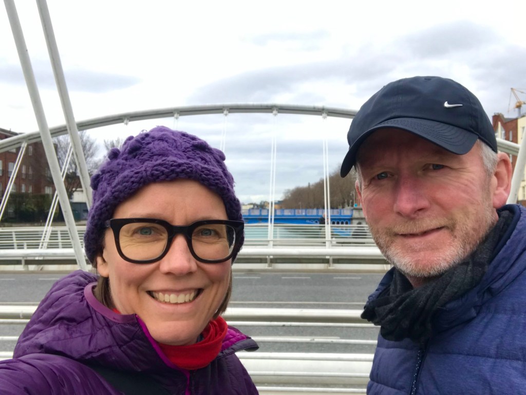
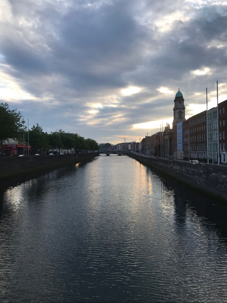
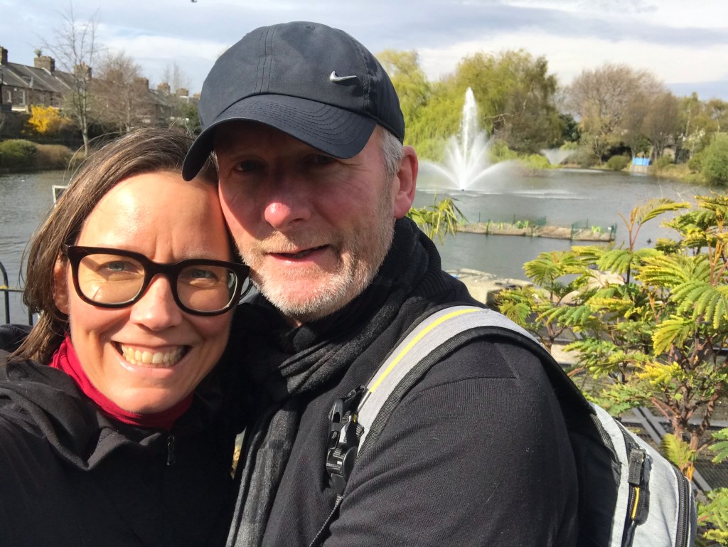
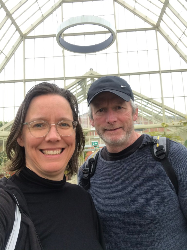
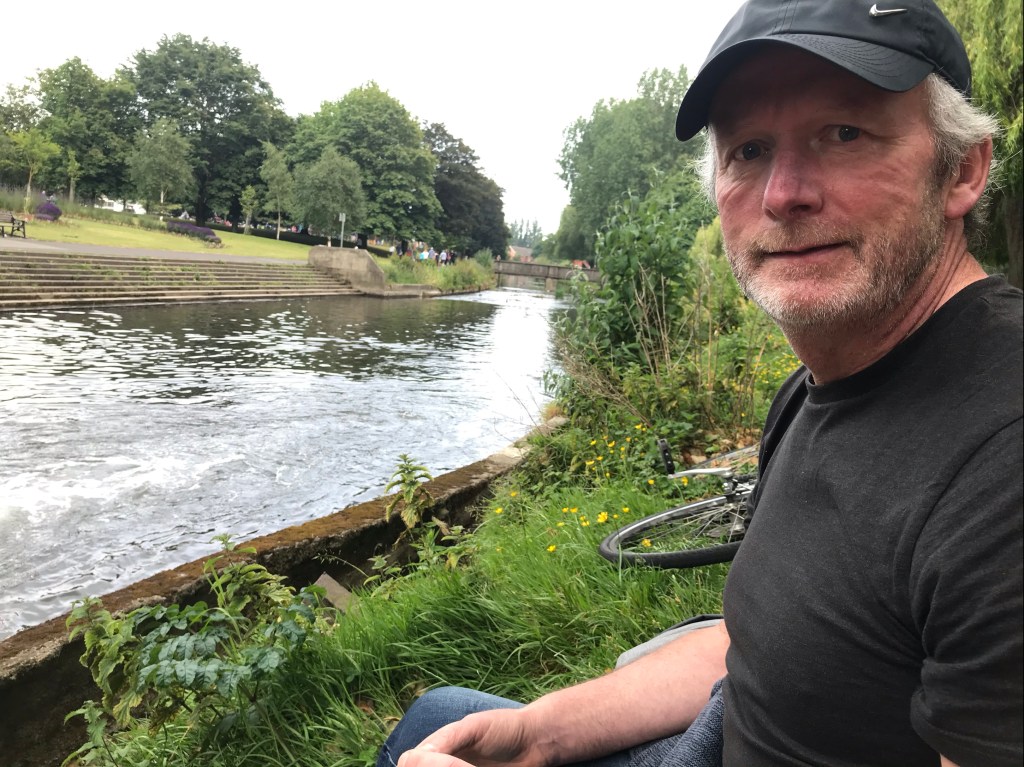
During lockdown, I rarely ventured out Monday-Friday. I tried to get indoor exercise during the week, but it wasn’t easy. With the Liffey four blocks from home, I motivated myself to get out and walk that far some evenings, between work and dinner. Below, Aongus and I are pictured on one of Dublin’s two Calatrava-designed bridge, which is five blocks from our home:
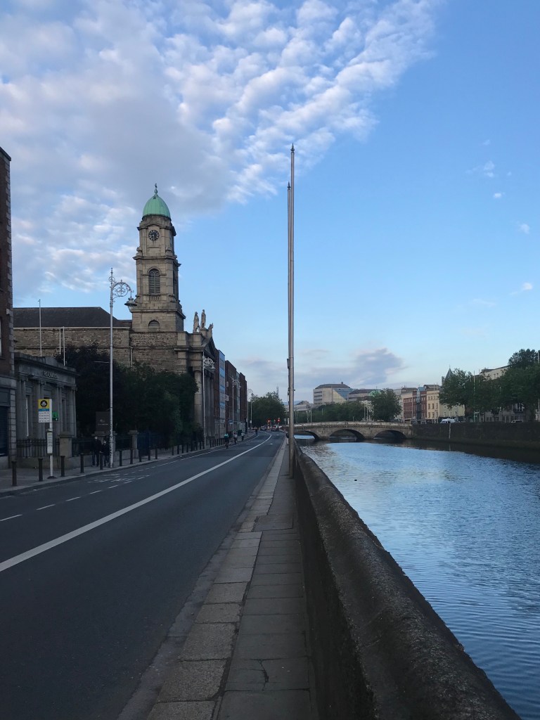
Below are photos of “northside” streets close to our home: (1) along the Liffey with Smithfield to the right/north, (2) cycling the new protected lanes along the Liffey, (3) the lovely steeple of St. Paul’s @ Smithfield shown as second time, and (4) a morning view of, vacant, taken by Aongus on his way to work once lockdown started to lift.
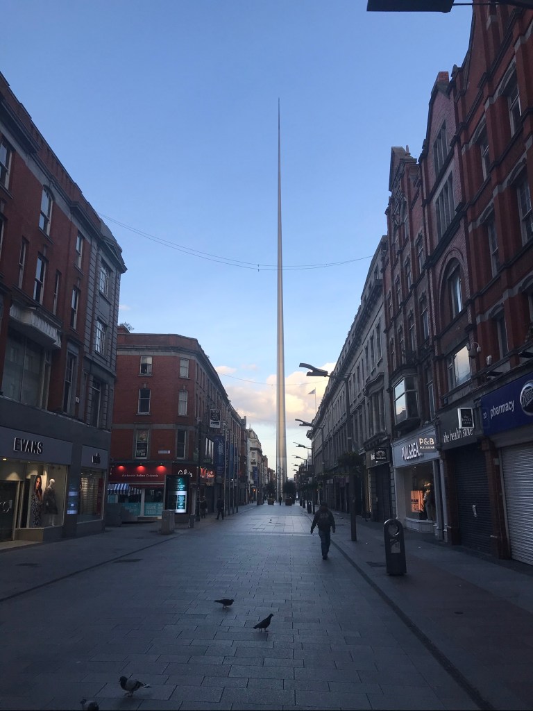
During the height of lockdown, the streets of central Dublin were actually quite eerie in the evening. The Irish police (called the Gardí) set up checkpoints all around Dublin—mostly to prevent drivers from exceeding their boundaries without reason.
On one walk we were stopped on O’Connell Street by a Guard. He asked us why we were in town, and since exercise was allowed and we were within our allowable zone, there was not problem and the guards let us pass. Other acceptable reasons were shopping for medicine or food shopping, or assisting someone who was cocooning.
We got stopped one other time, on the way to Phoenix Park because unbeknownst to us, a right-wing radical individual was trying to stage a protest. It didn’t work for her. People didn’t show up to join her shenanigans. The Irish are quite reasonable politically, in my opinion, and such radical views are unpalatable here.
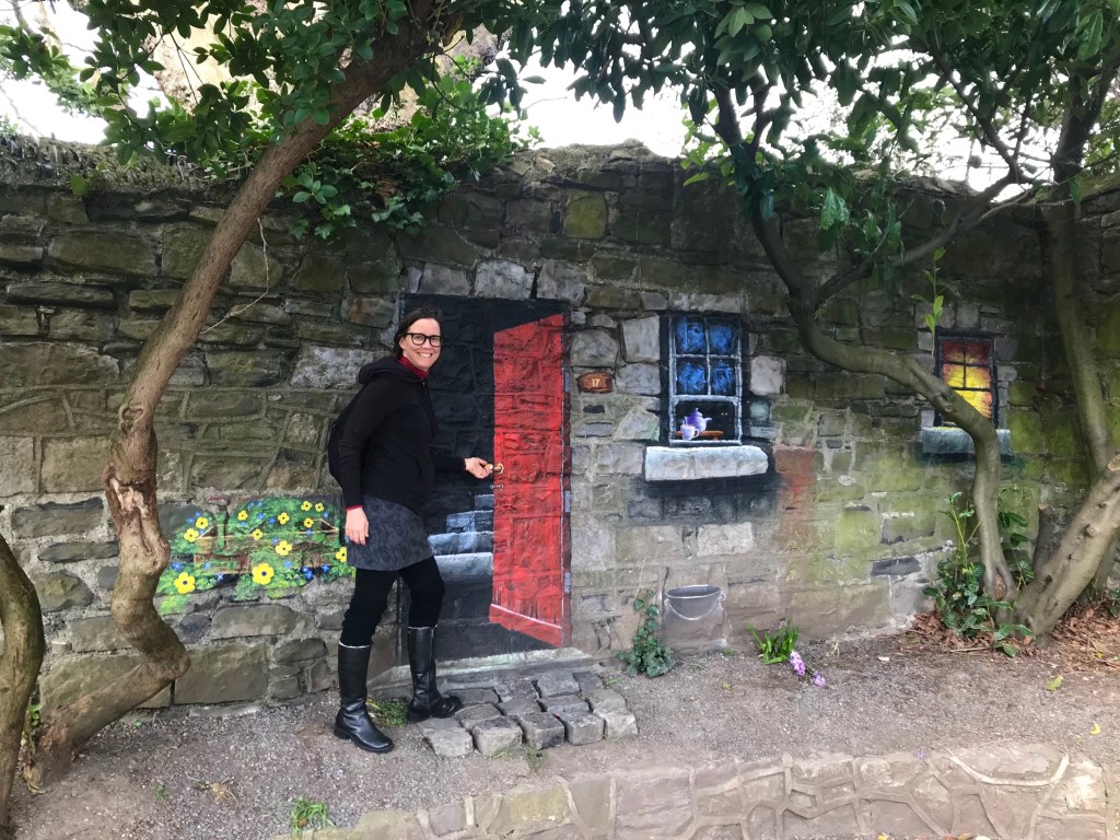
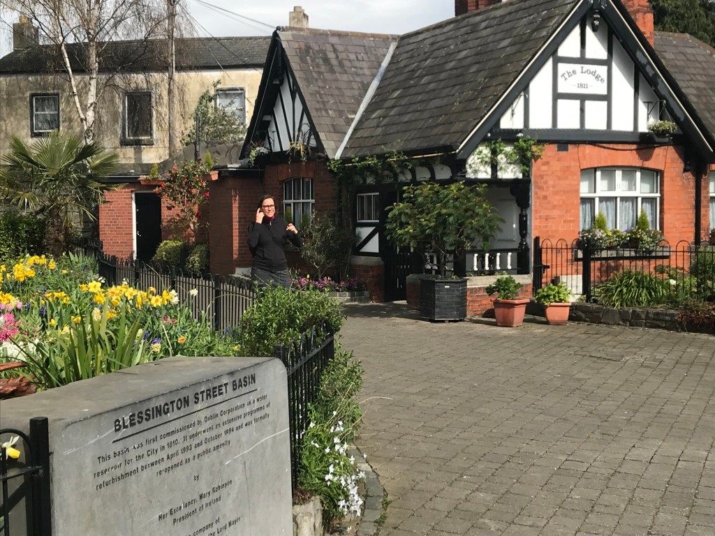
Blessington Basin
Although Aongus initially thought 2km would be too restrictive, it turned out there was more to see than he realized. Within our 2km small radius there were urban delights to be found: we joyfully ‘discovered’ Blessington Basin for ourselves.
I’d seen it on the map while searching the web for property (I might as well be looking for leprechauns or unicorns as a sunny and affordable flat or house in Dublin). Though I knew its name and location, I’d never had reason to venture there. Until lockdown. It’s easily reached from our flat by foot or bicycle.

Ultimately, we ended up near the Basin while exploring on Dublin Bikes (which we both subscribe to for a very reasonable annual fee).
Aongus was flabbergasted. He had no inkling of the existence of this Basin– even though he was raised not far away, on the Northside of Dublin in Glasnevin!
There are several delightful murals in the park surrounding Blessington Basin, and the one pictured above, with me sliding through an illusionary door, is appropo. A step into Blessington Basin park feels like you’re entering Sinclair Lewis’ Narnia or Alice’s Wonderland!
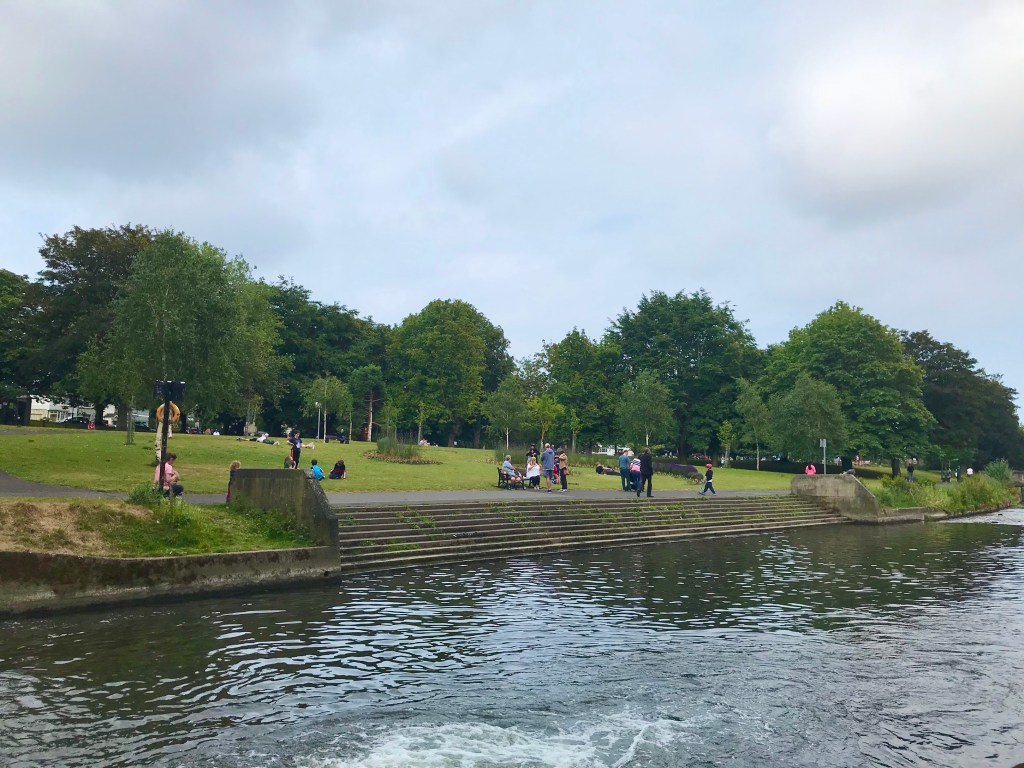
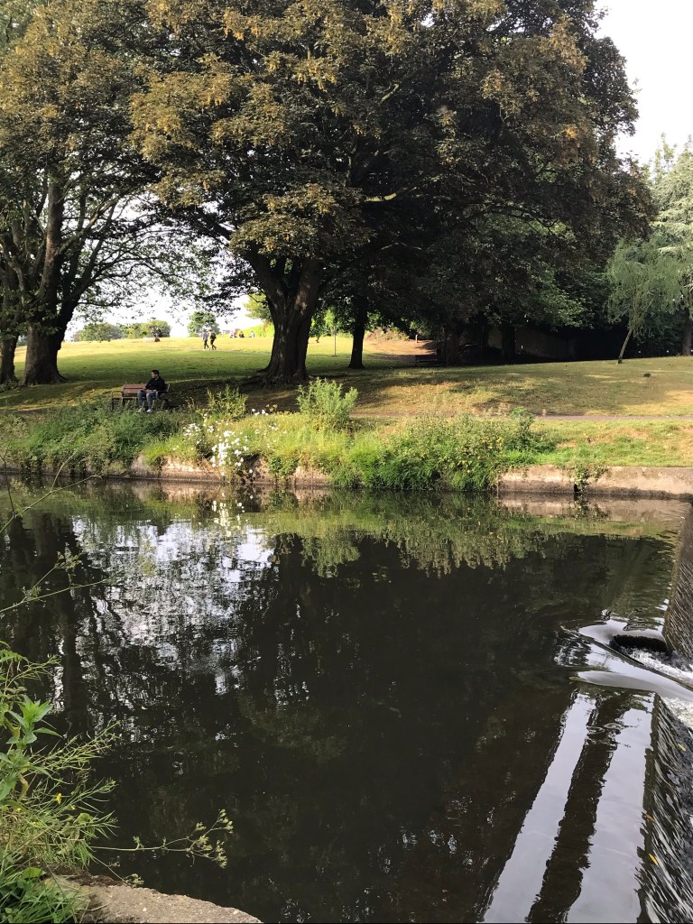
Royal Canal
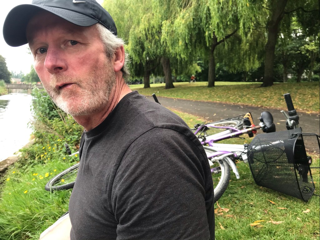
A week into lockdown, I got my previously non-working bike up and running. At about the same time, Aongus borrowed a bike from his sister, because he was the one appointed by his family to keep his 82 year-old aunt supplied with food and meds.
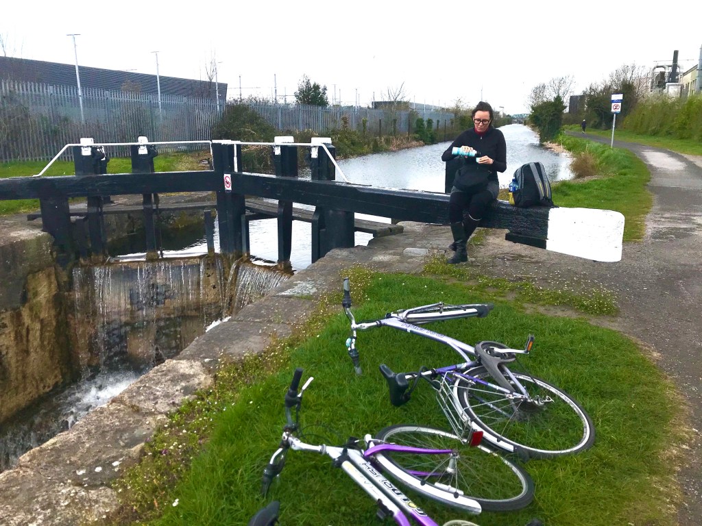
With these bikes, we were able to explore more easily and we found more joys, like the footpaths, the little canalside park beside Shandon Gardens, and cycle paths aside the Royal Canal (with one of its locks shown above). We determined to return again when we’re allowed more distance to roam.
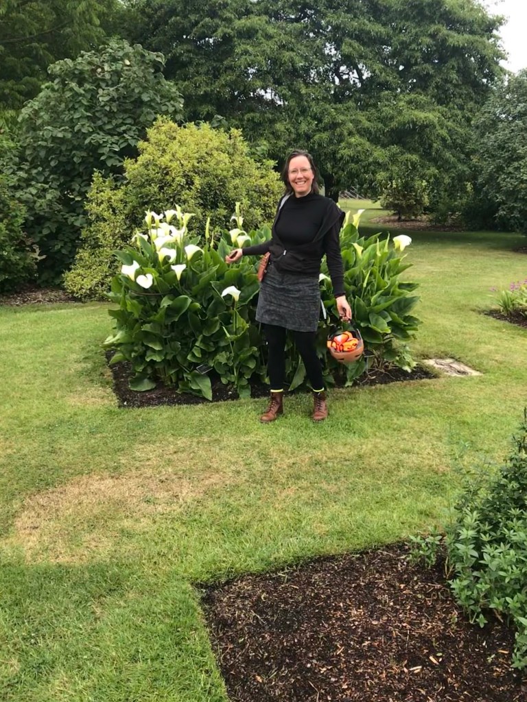
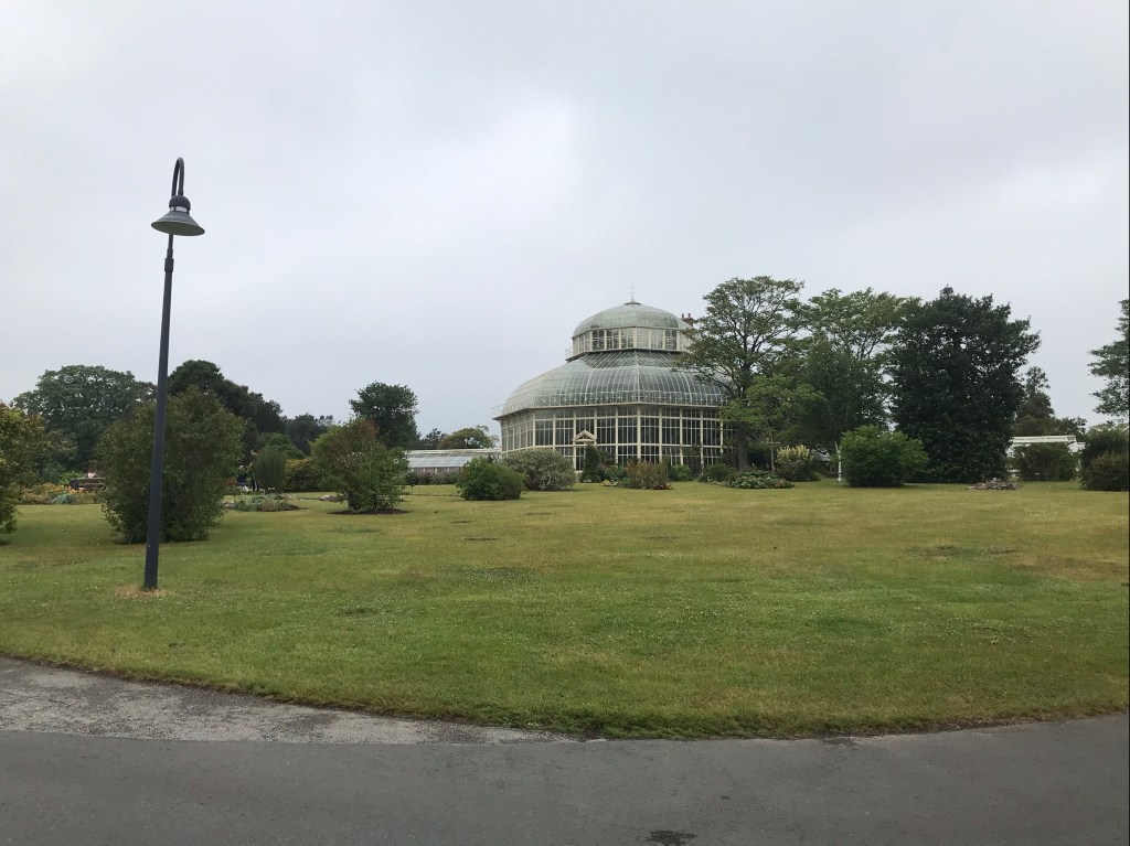
National Botanic Gardens
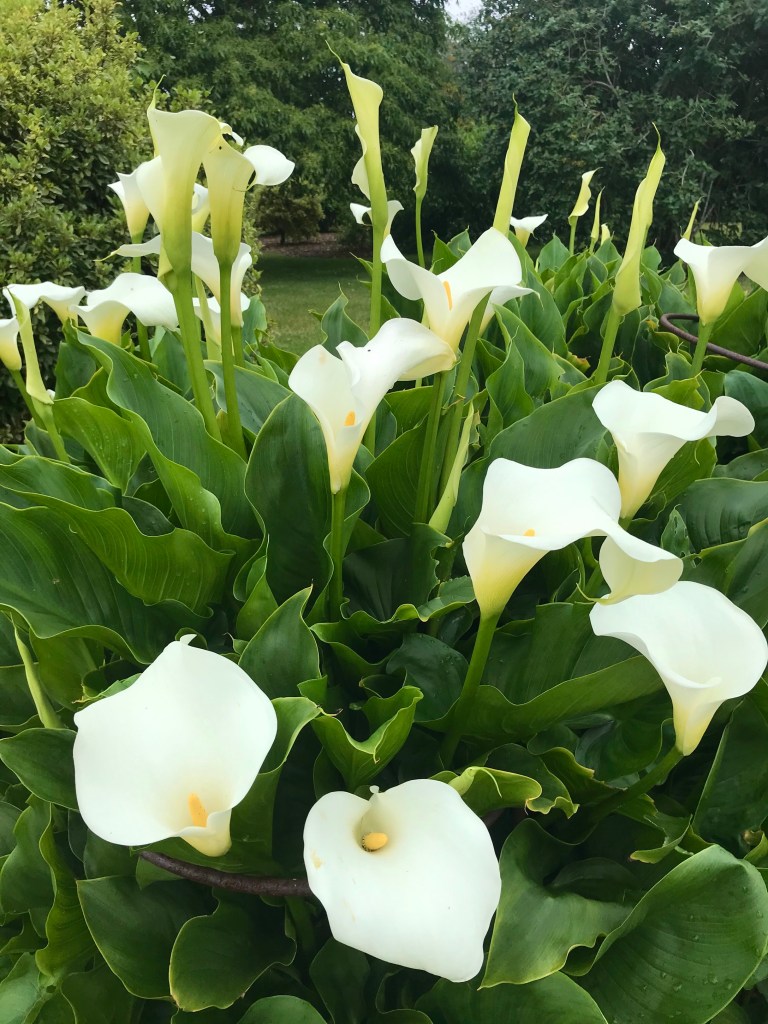
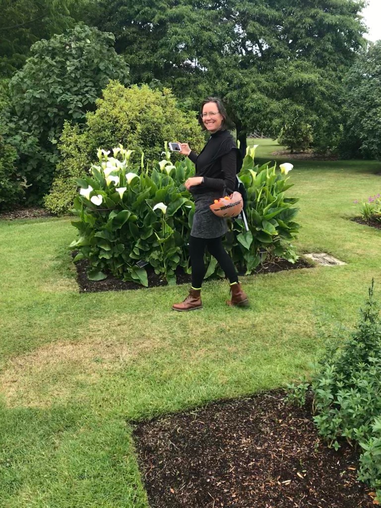
Our allowable zone eventually expanded to 5km. Inside that we found the Botanic Gardens and Griffith Park, although these photos were taken after we’d gotten 20km access. The Botanical Gardens had been closed for months before opening its gates to the public. The caretakers must have been there during lockdown, as the place is still meticulously manicured.
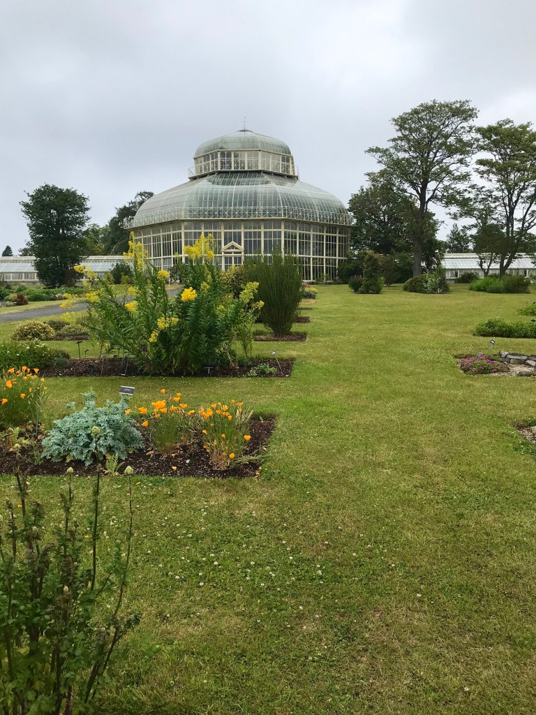
When amenities began re-opening on the northside of the city, the gates of the National Botanic Garden sprung open with colorful life:
The flowers had been developing nicely in the peace and quiet.


Aongus loves this place. It’s near his childhood neighborhood and one if his mum’s favorite spots for a weekend walk.

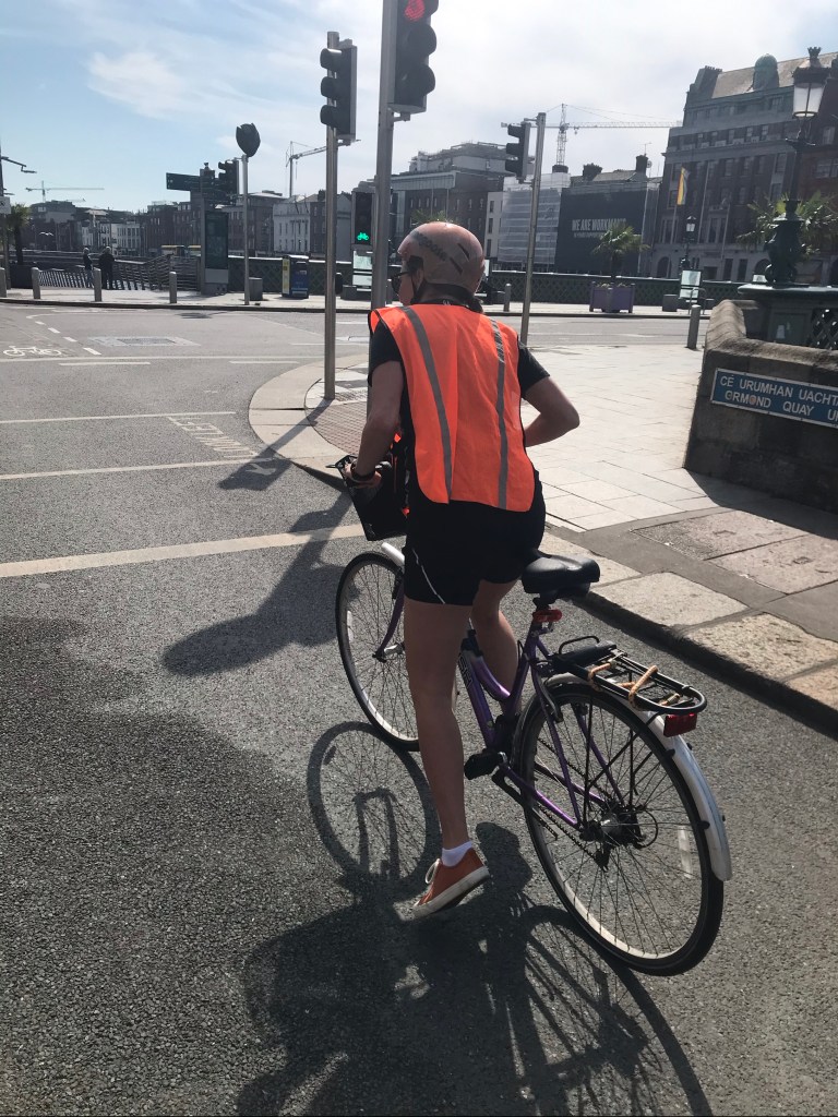
Griffith Park
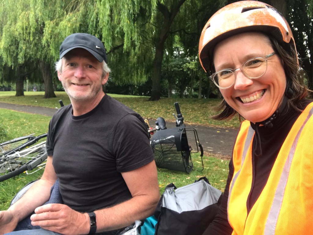
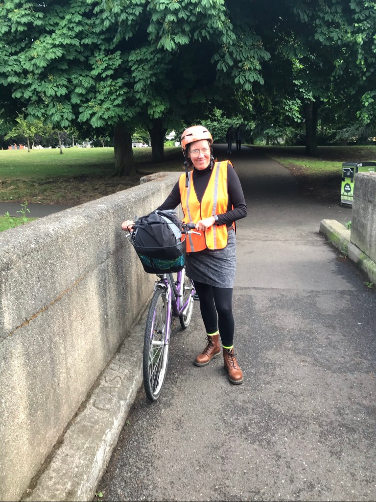
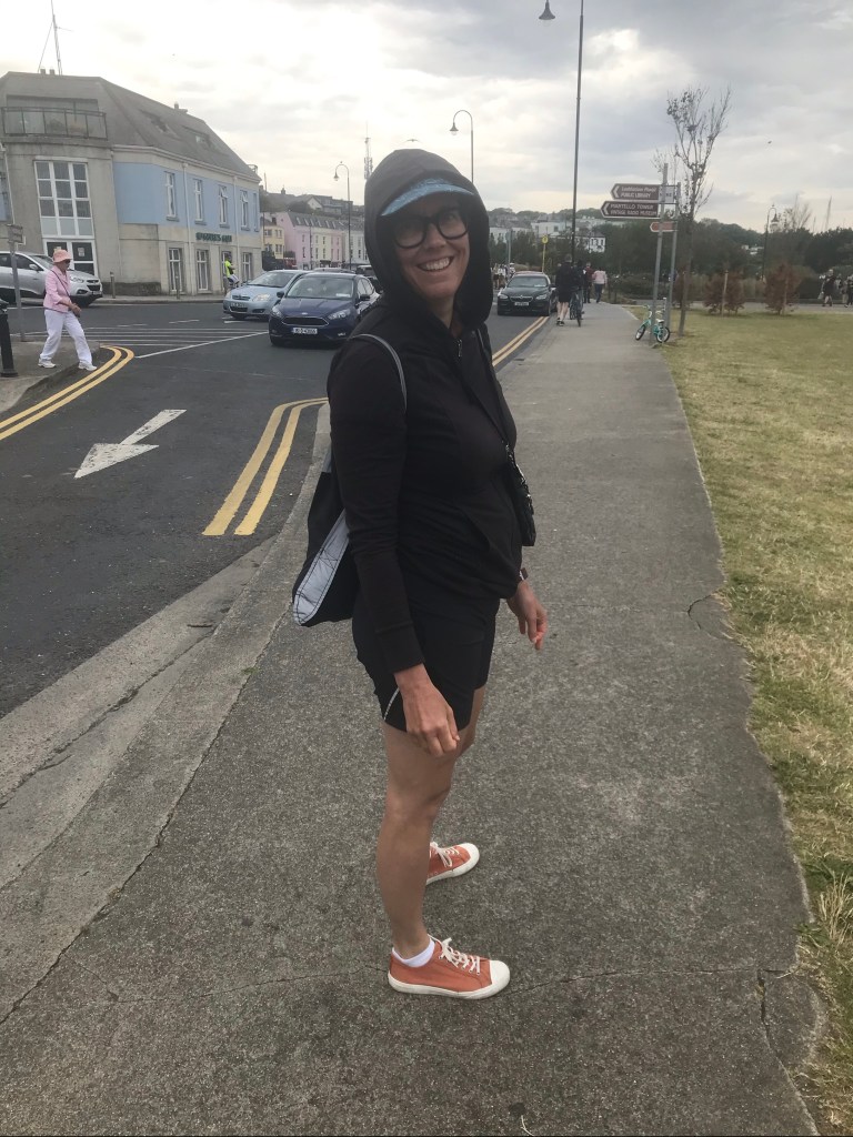
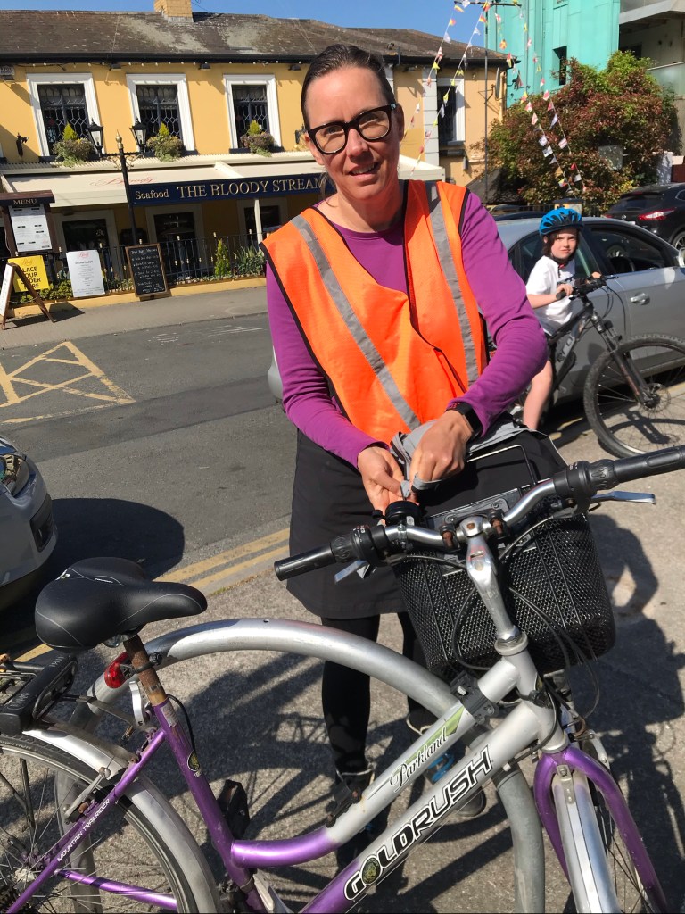
Aongus brought me through Griffith Park one day. It’s just to the south of his auntie’s house. Here’s I’m decked out in bright orange and a crash helmet, which I found helpful as cars returned to the streets of Dublin. Most drivers allowed me plenty of space, but of course, I was only cycling on weekends.
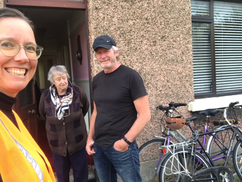
We had a snack beside the canal this day in Griffith Park, and then enjoyed a short and distanced front-year visit with his aunt.
Dollymount
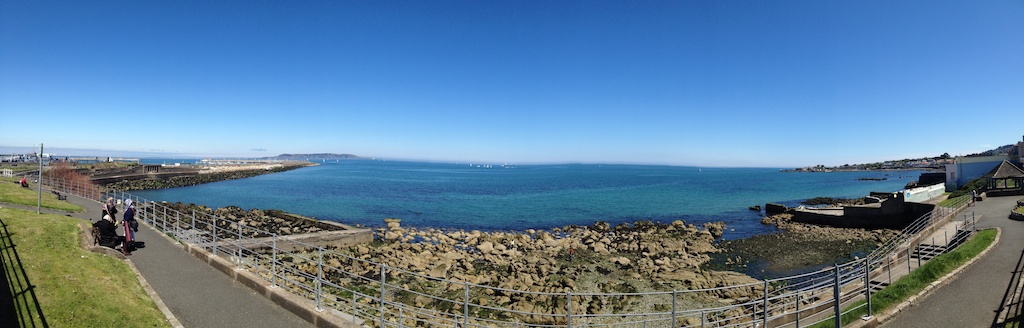
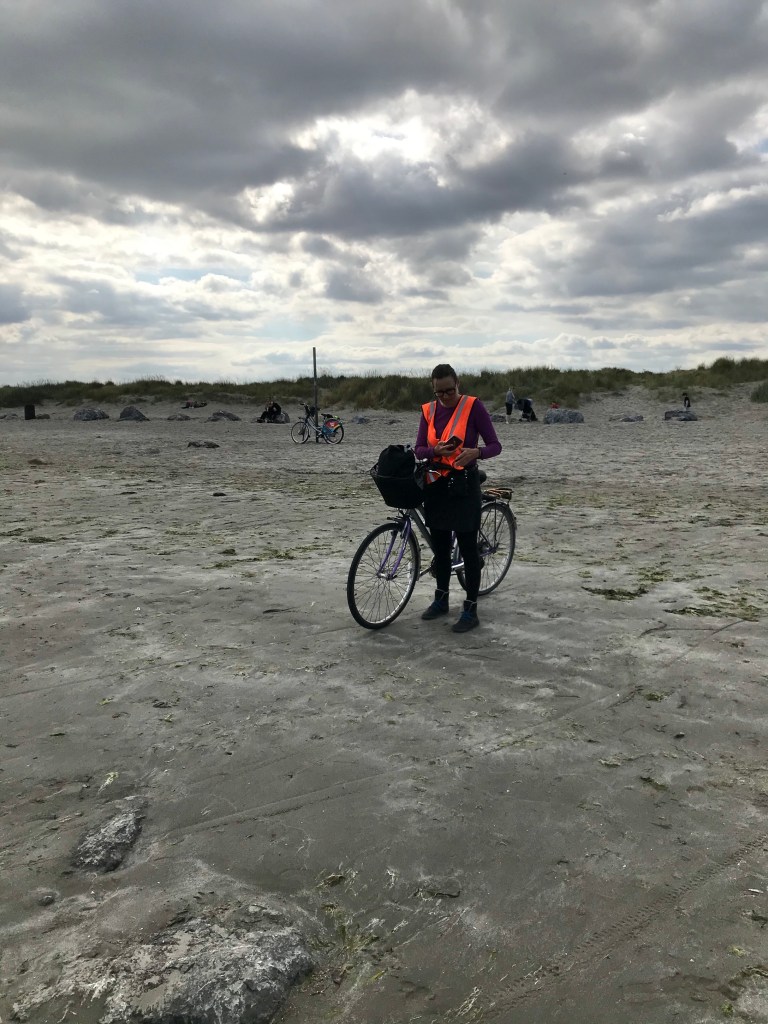
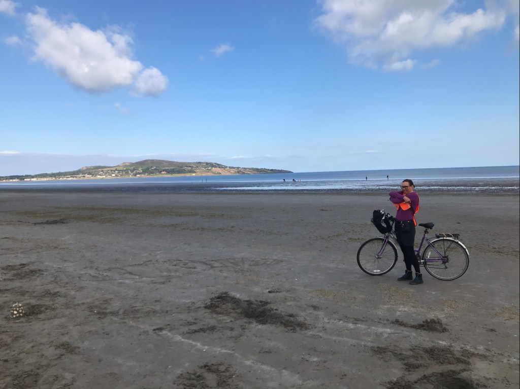
Bull Island with its Dollymount Strand fall just beyond our 5km, so we had to wait for the 20km radius to enjoy these coastal amenities again. Fairview and some of Clontarf were allowed, but we couldn’t go up as far as Bull Island. It’s too bad that we couldn’t enjoy the Wood Bridge without cars.
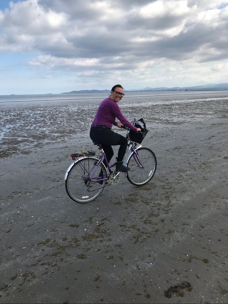
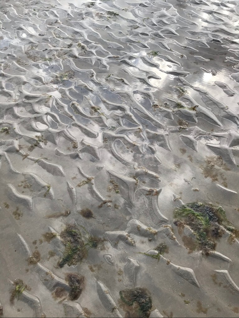
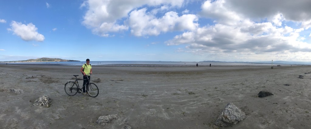
Our visit to Dollymount Strand came after our cycle to Howth (described below). We took the long route on the way home from Howth, to enjoy the views, and the challenge of cycling in the sand. It’s much easier to cycle where the sand is wet than dry!
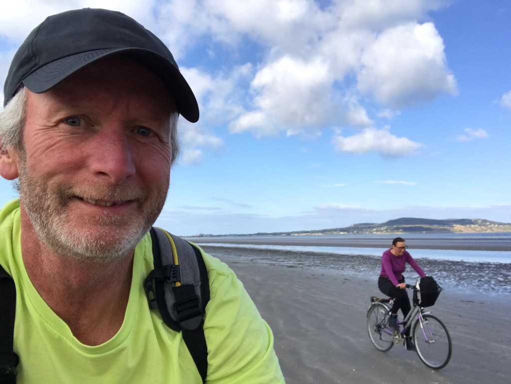
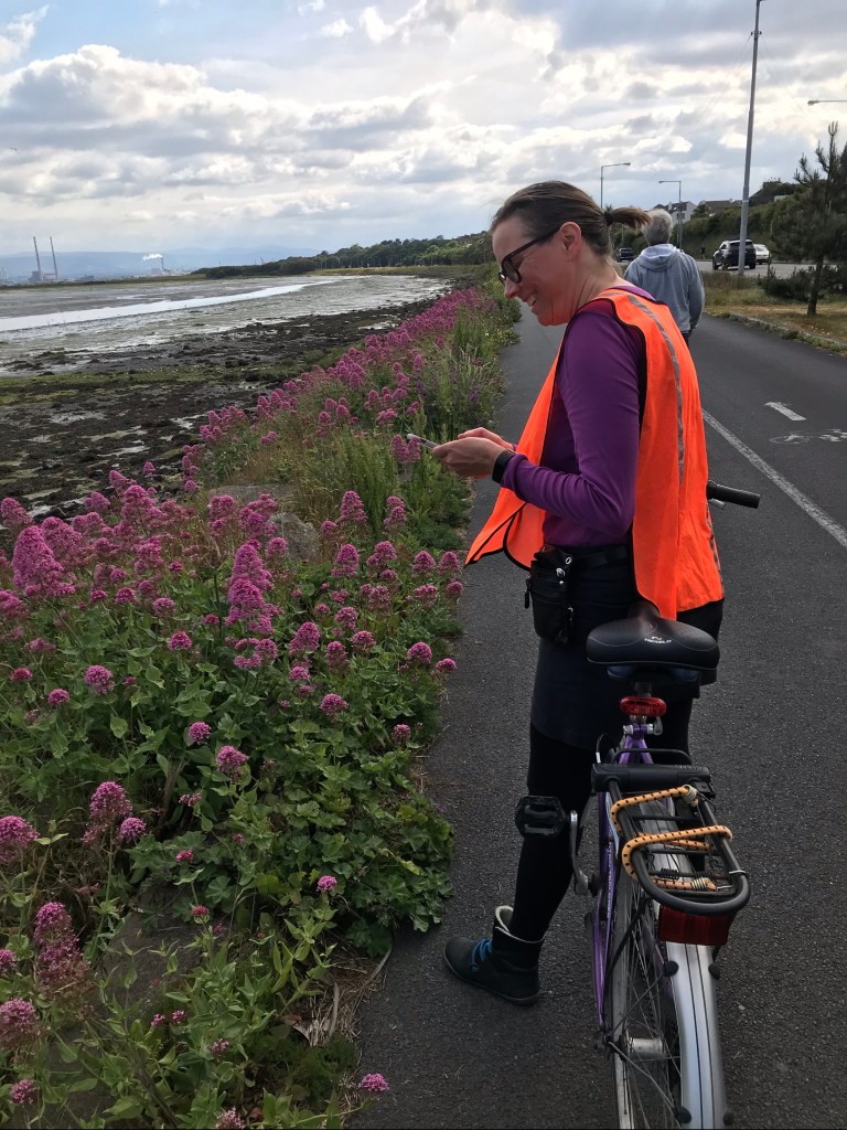
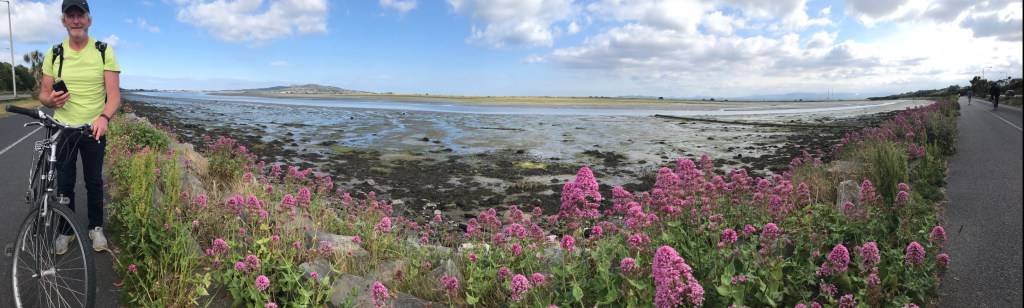
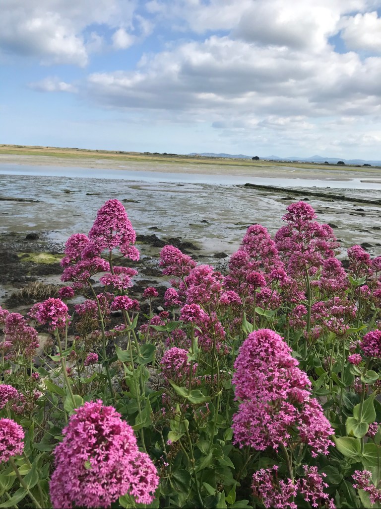
The wildflowers were stunning! Which is why I couldn’t decide which photos to include… so you get a bunch!

Howth
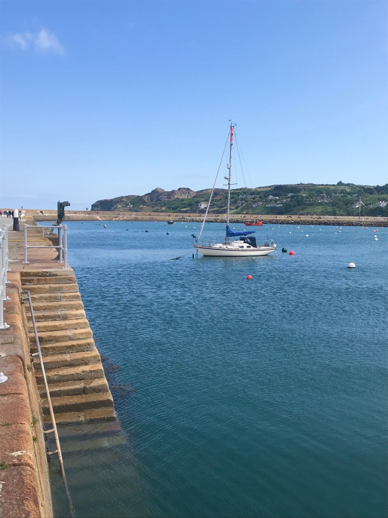
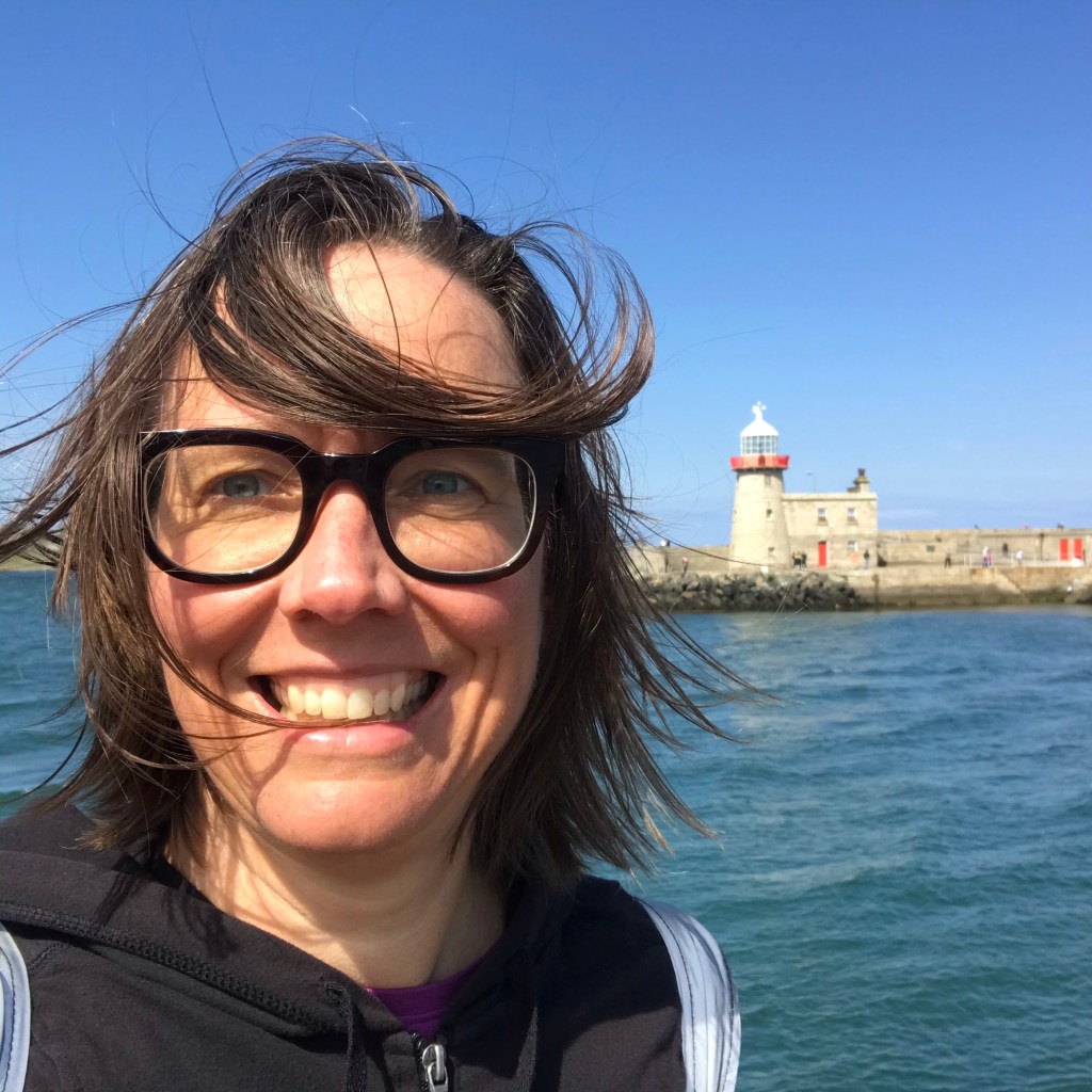
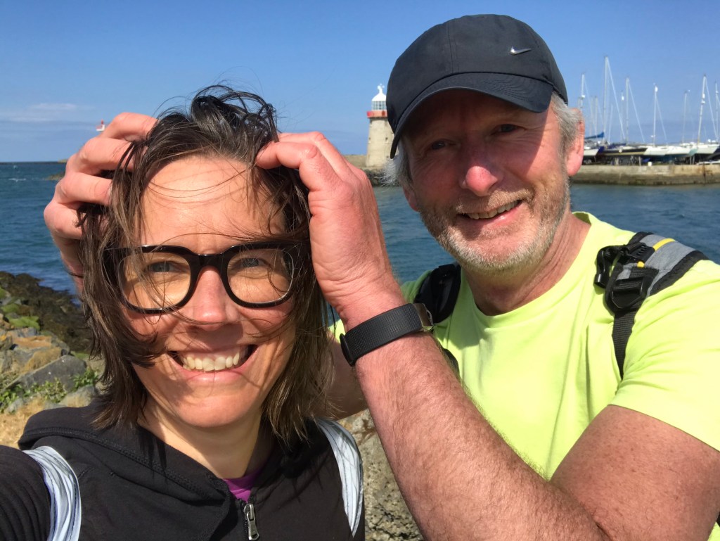
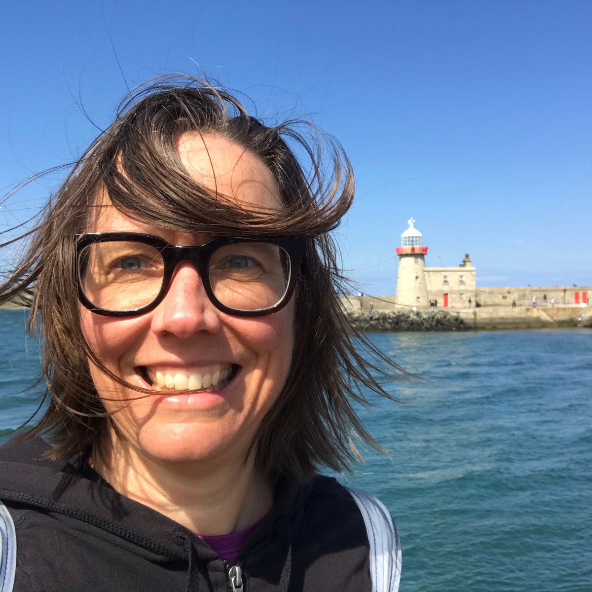
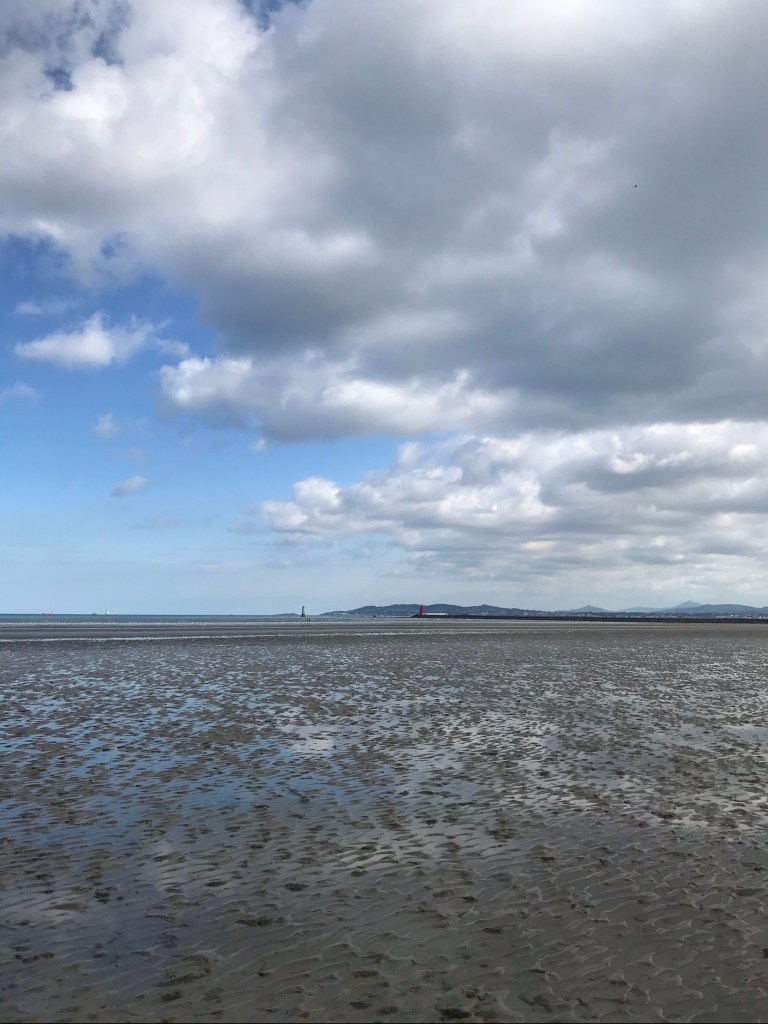
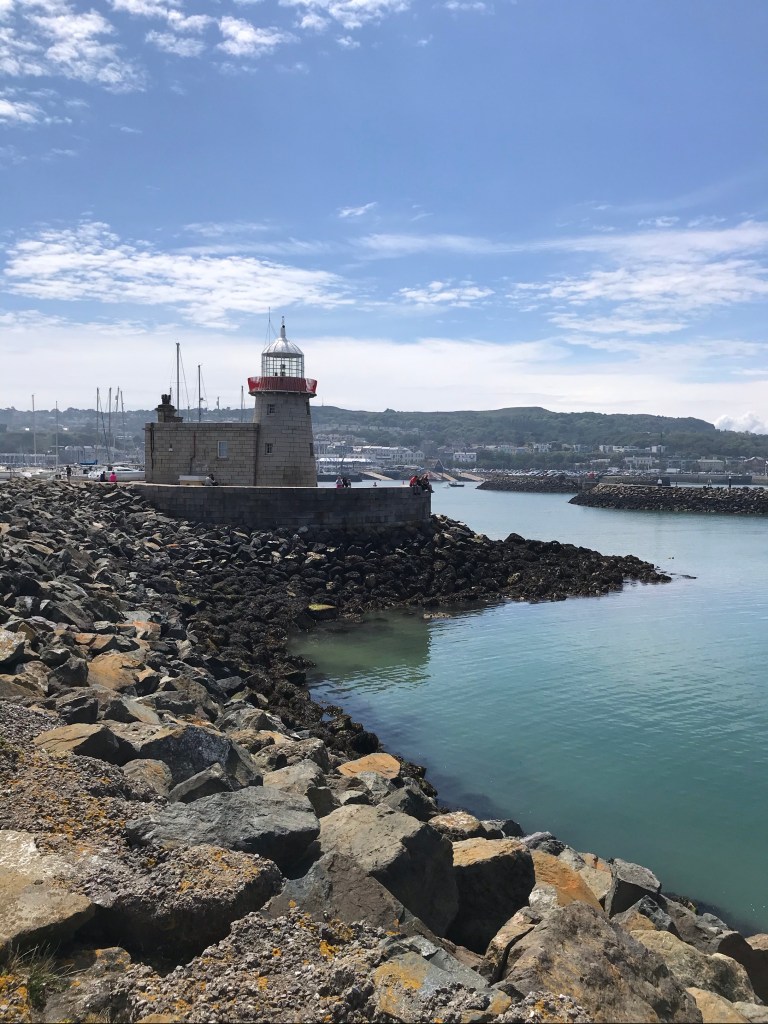
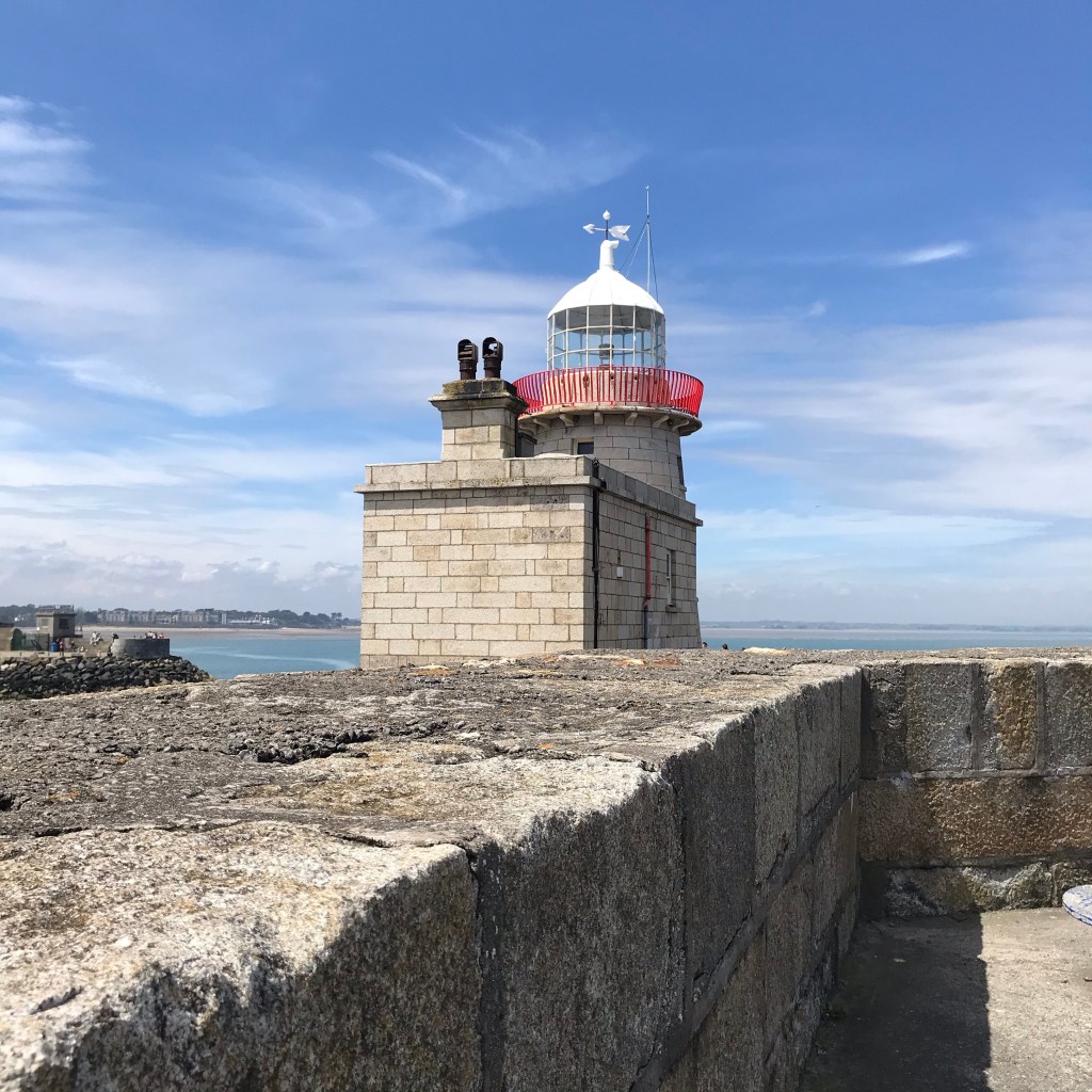
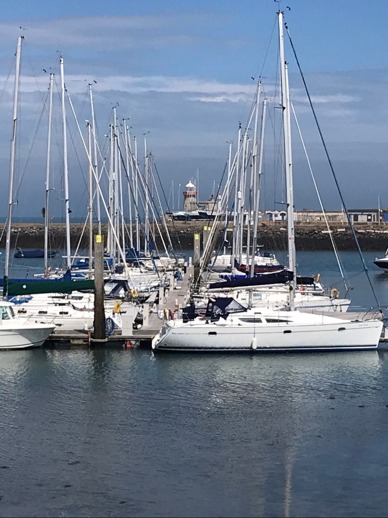
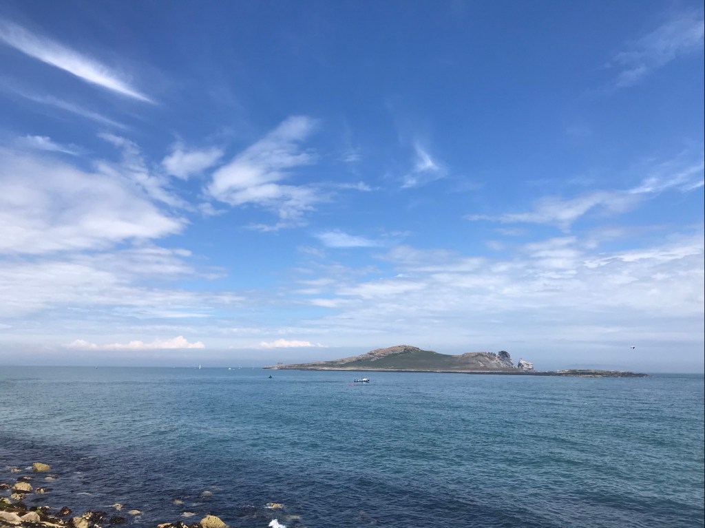
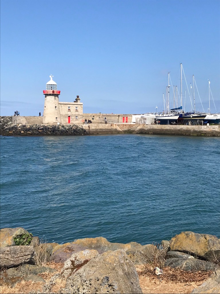
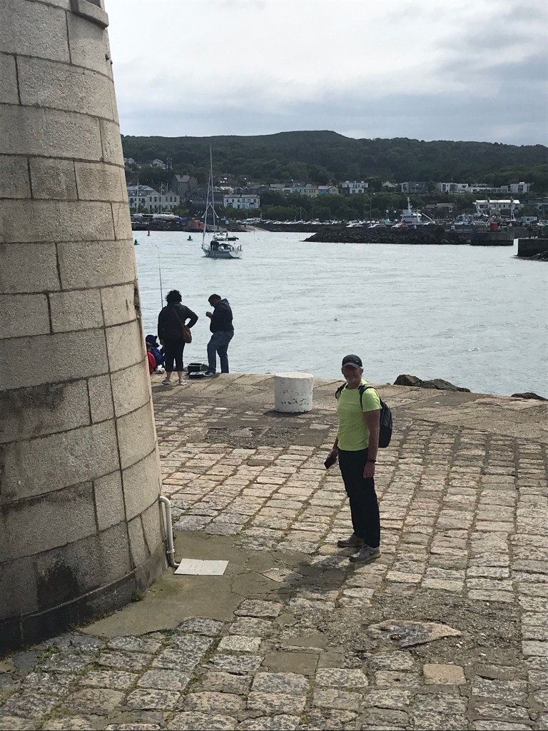
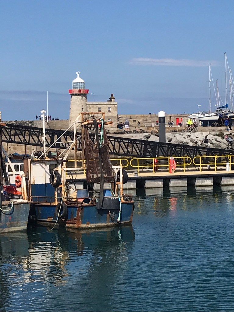
The real jewel in the crown of our 20km radius northward from Dublin is the little fishing village of Howth.
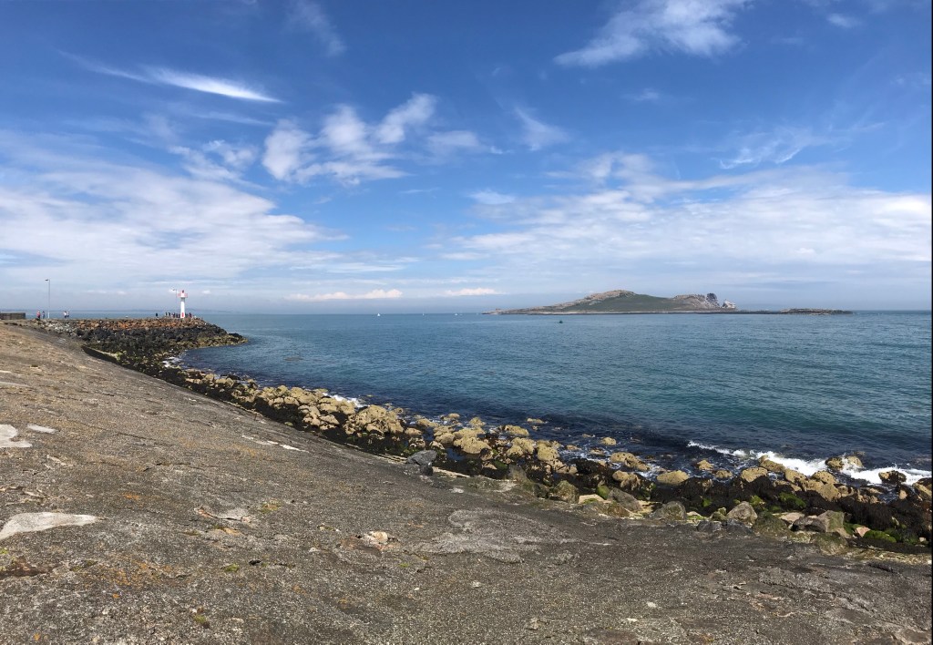
There’s a picturesque little harbor, protected by a lighthouse (and seagulls), that is today filled with pleasure craft in addition to work boats.

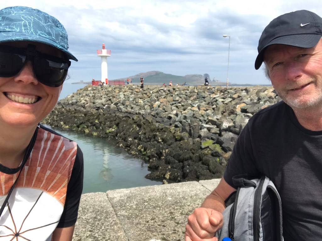
We have cycled out to Howth twice now. Once we bumped into friends of Aongus and enjoyed a distranced chat (after months of isolation seeing them was a highlight of the day).
The pictured below show us getting caught in the rain. We ended up taking the DART home that day and, as I had no mask, I had to improvise with a beach blanket.

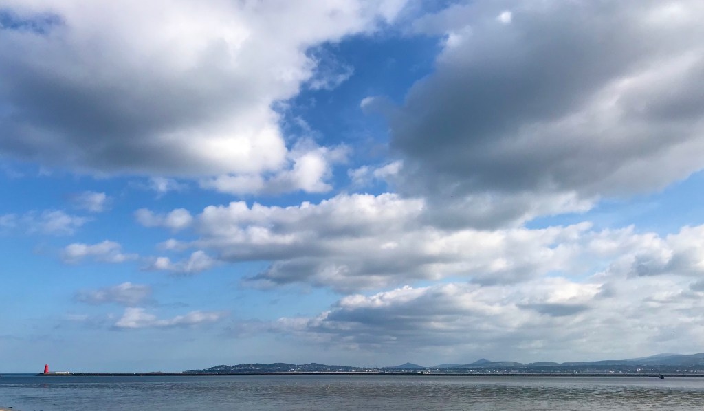
Fortunately, there was also lots of space and sun in Howth.

And so very many eye-catching views.

Plus, some darned good company.
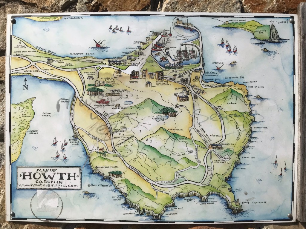
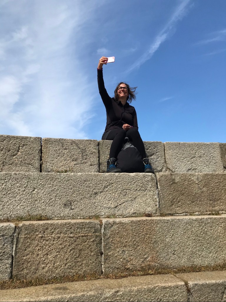
I couldn’t be more blessed than to spend this lockdown with the fun, kind, generous, patient, energetic, optimistic, healthy, share-the-load and ever-loving Mr. Aongus Coughlan. Now, if only I can get him hiking that Howth cliff walk with me (see the map below). Since the 20km rule has been lifted, it’s in our currently allowable zone. And yet, it’s still a bit too steep for the man. Never on a windy day!