I’m honoured to have hosted a very successful 2025 SEFI Ethics Spring Symposium.
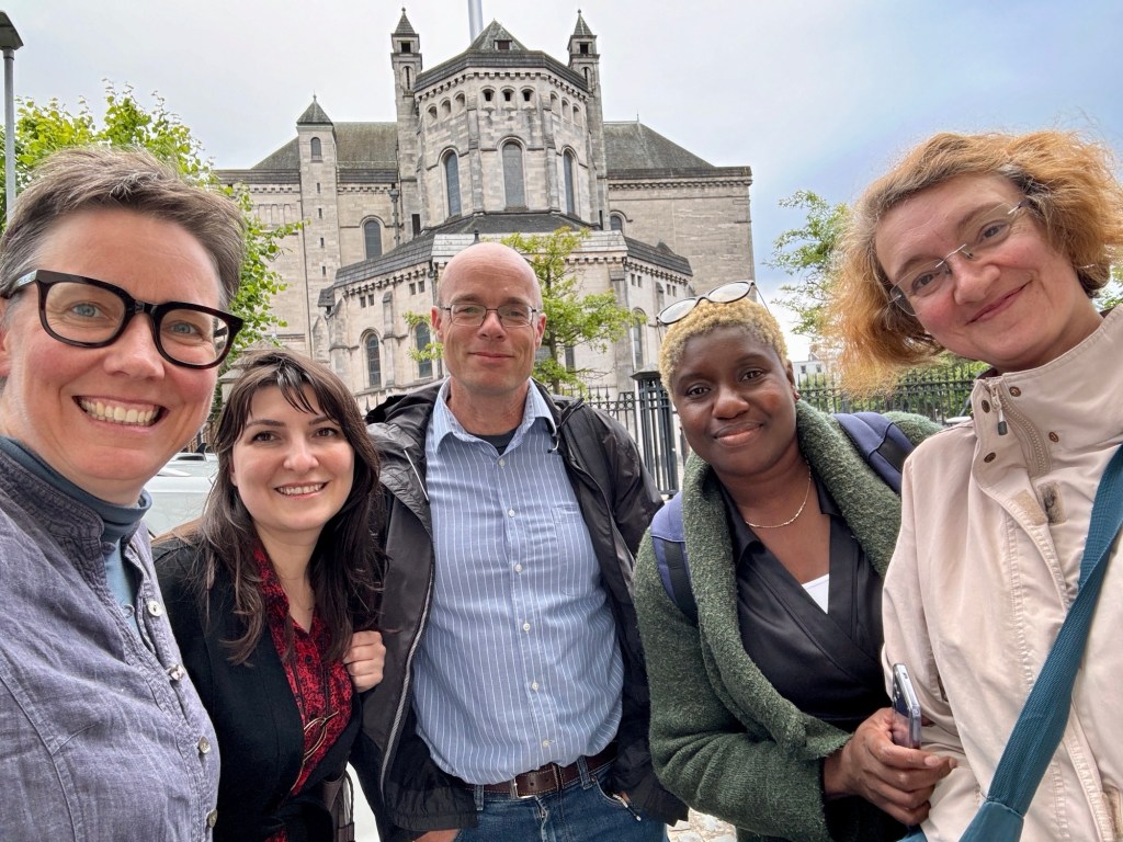
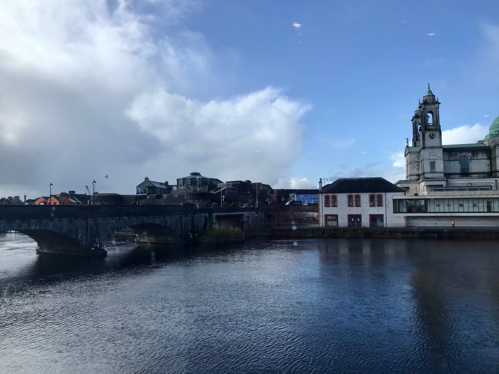
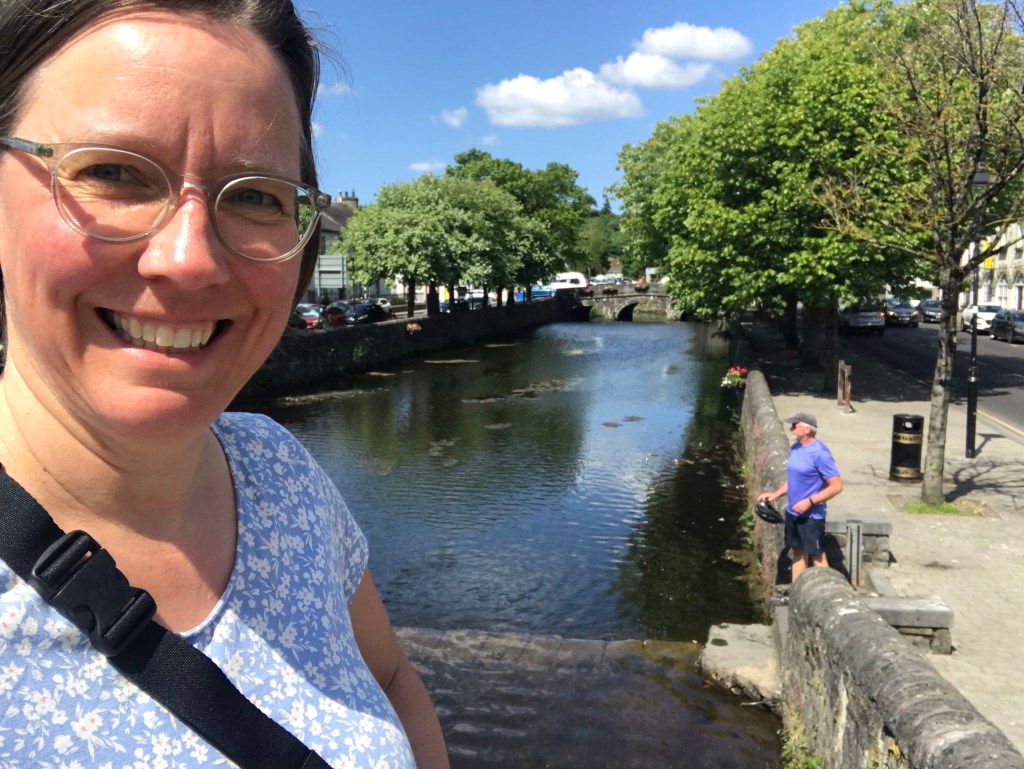
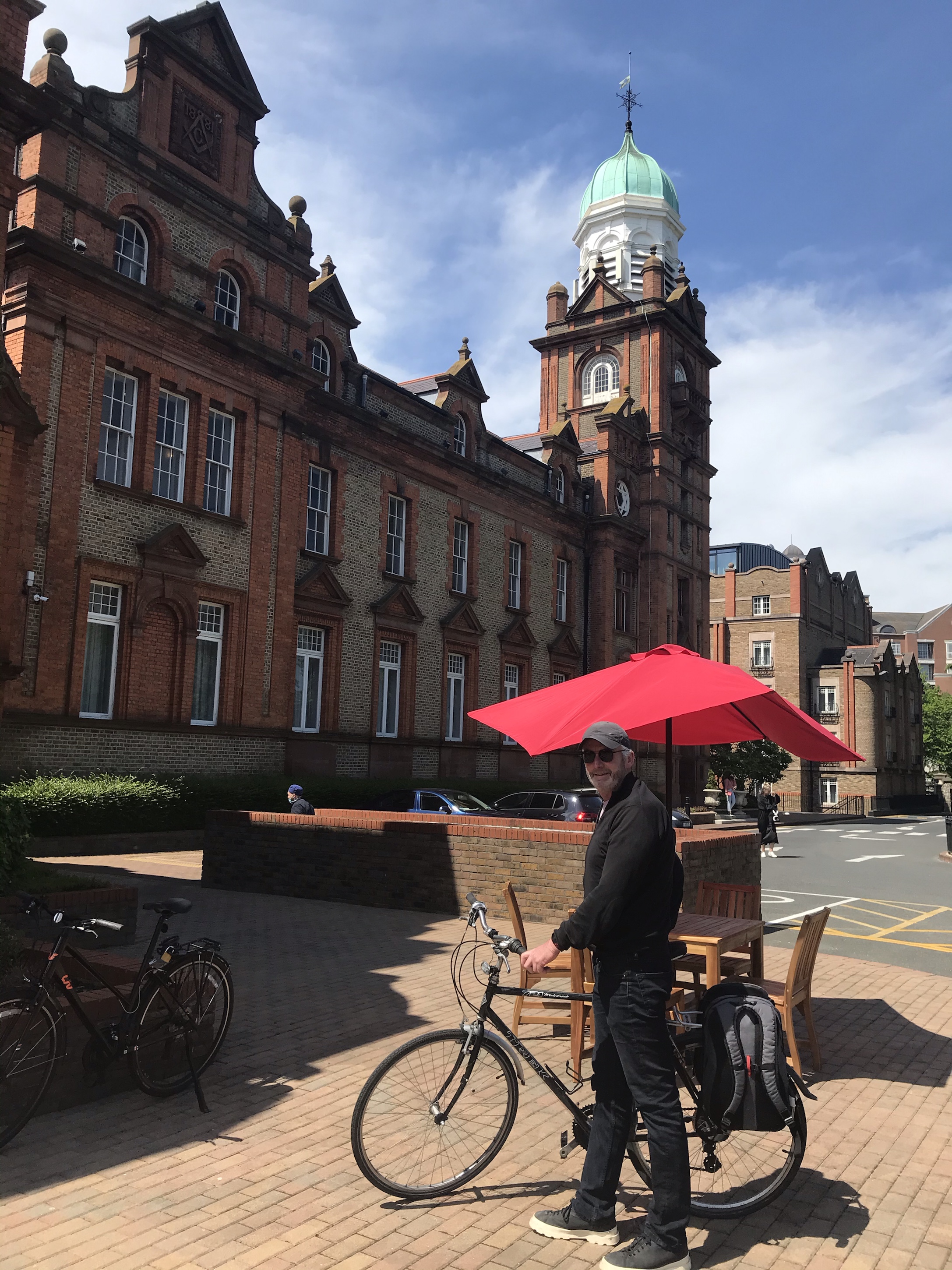
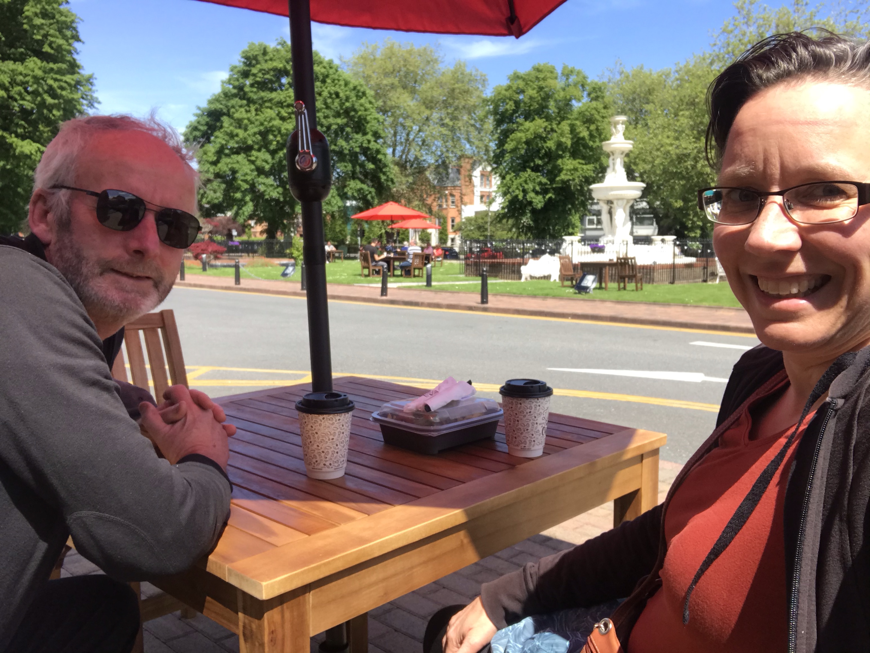
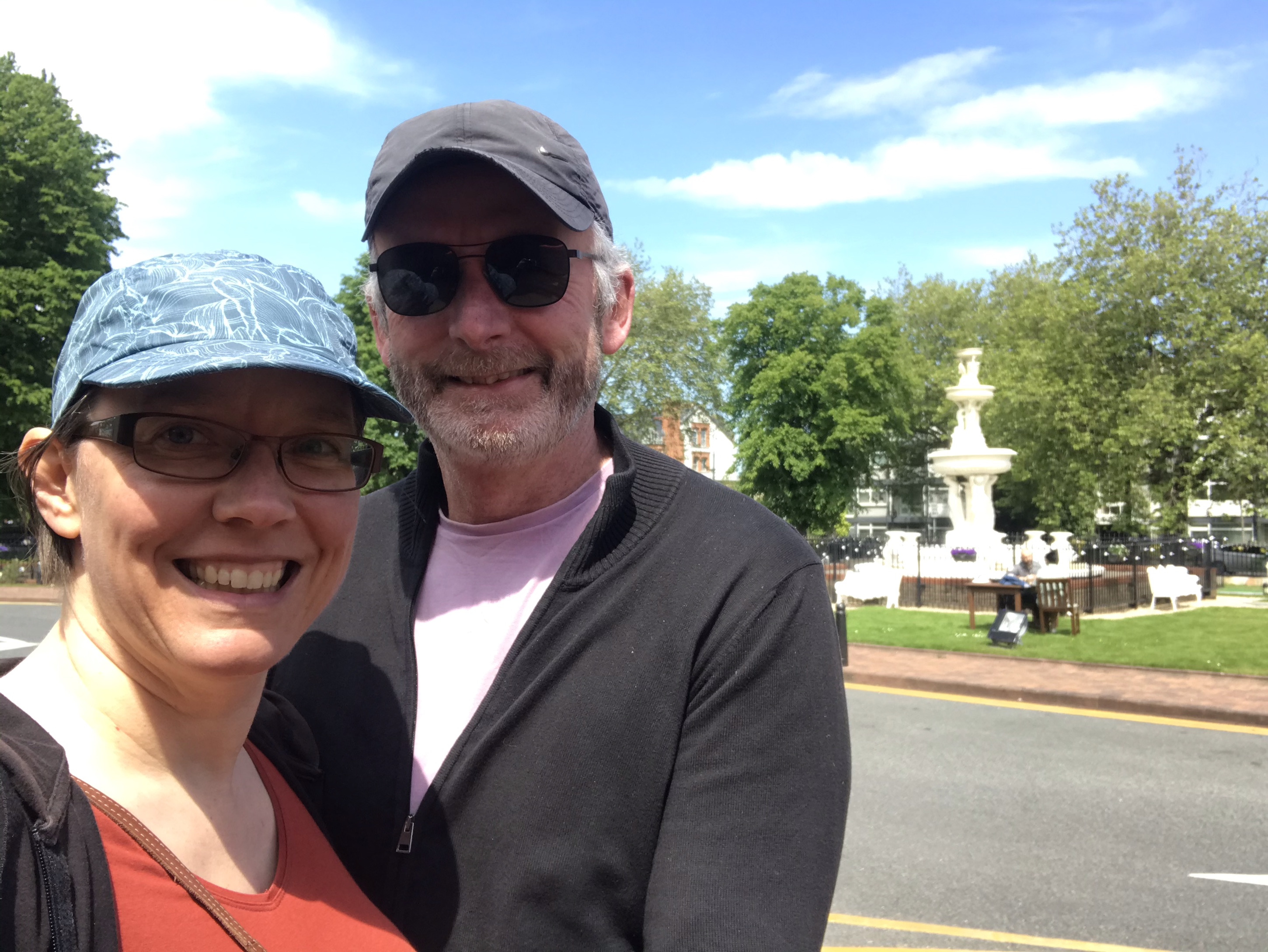
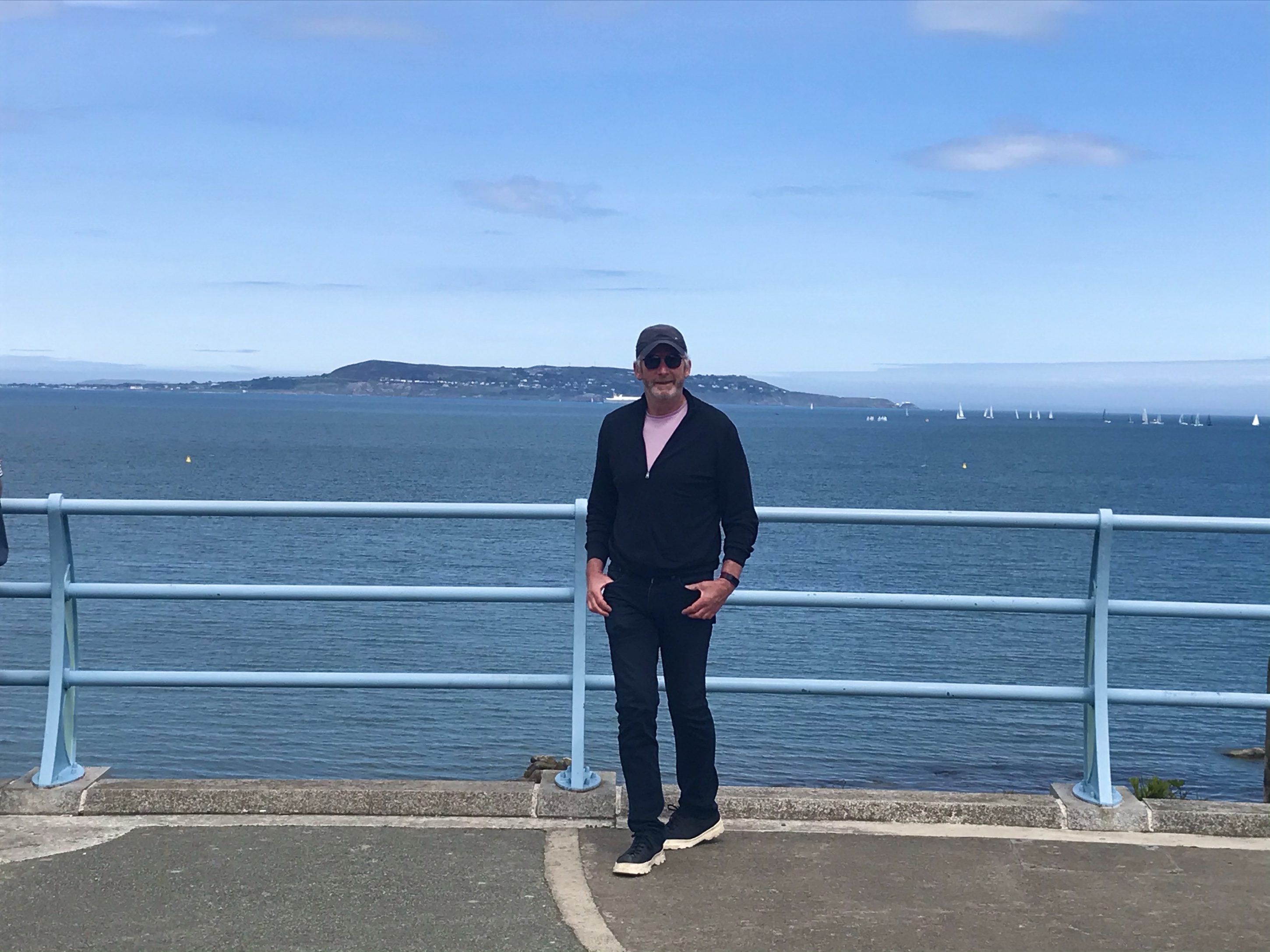
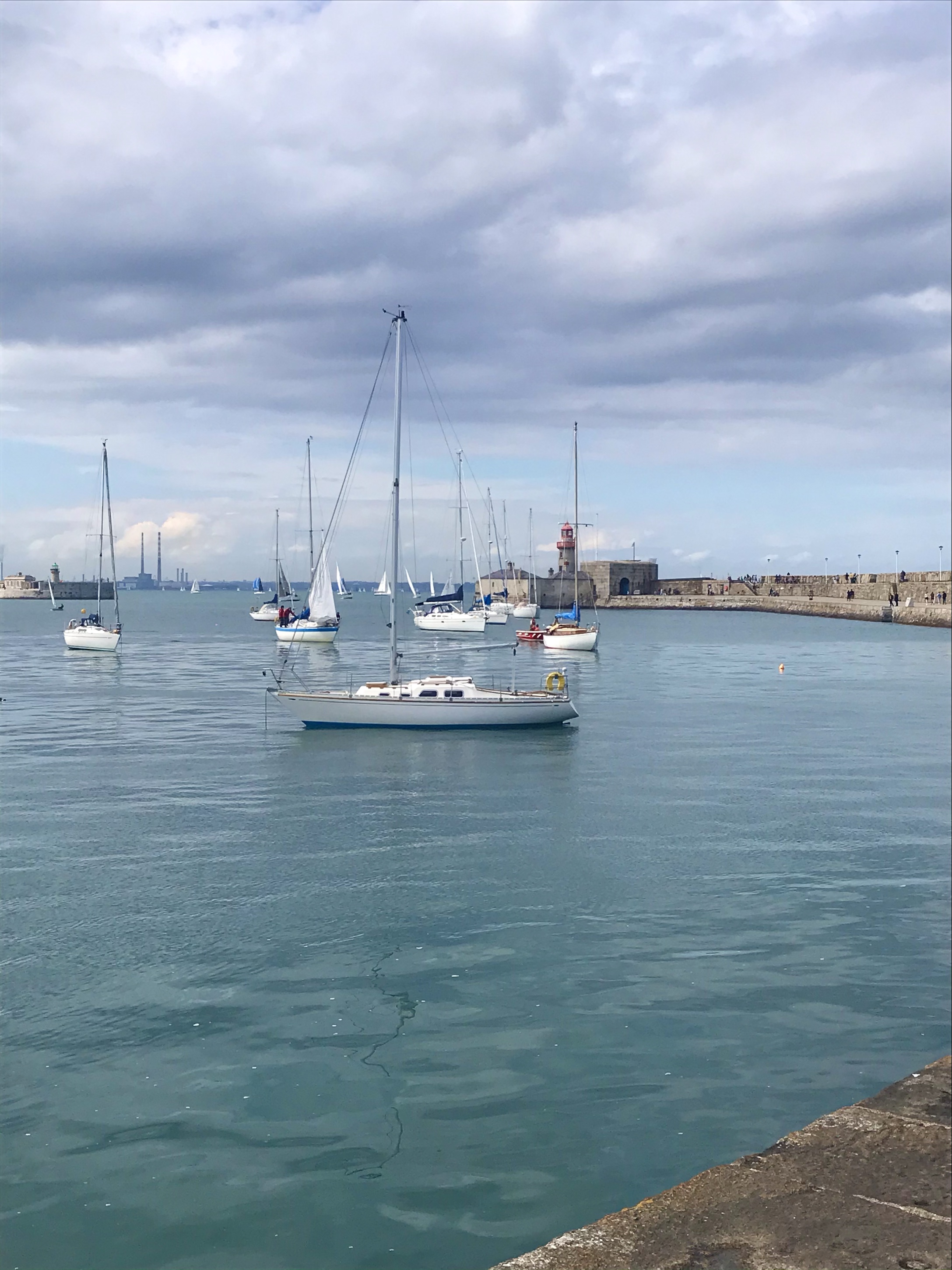
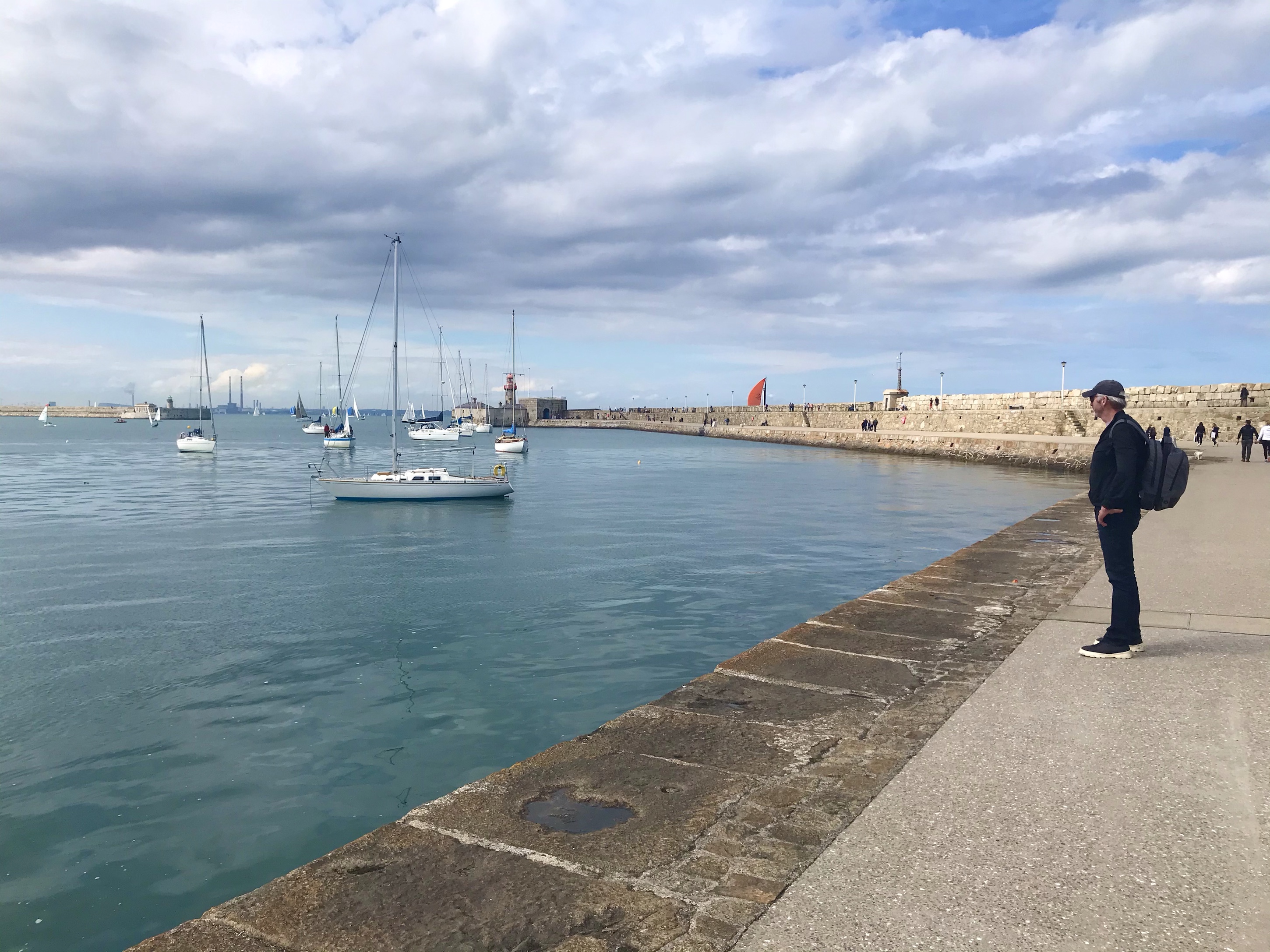
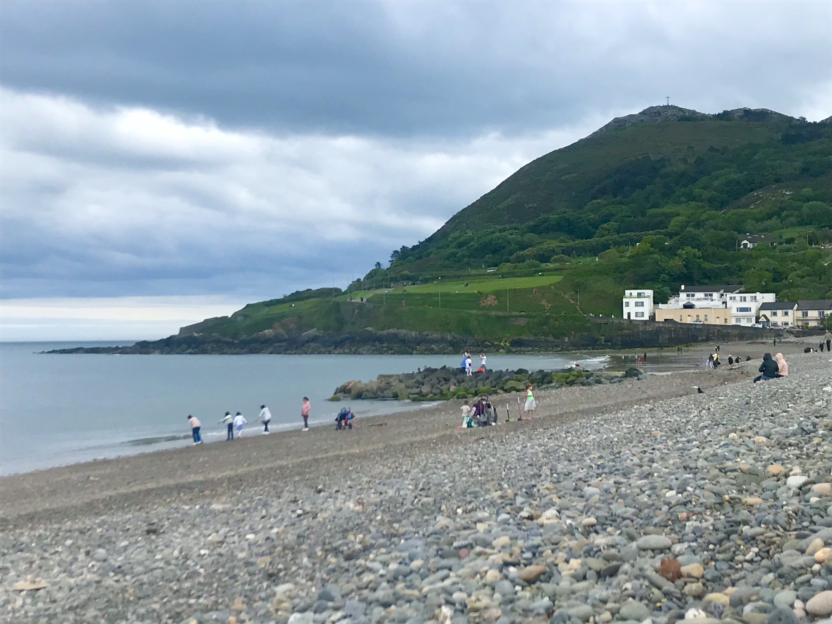
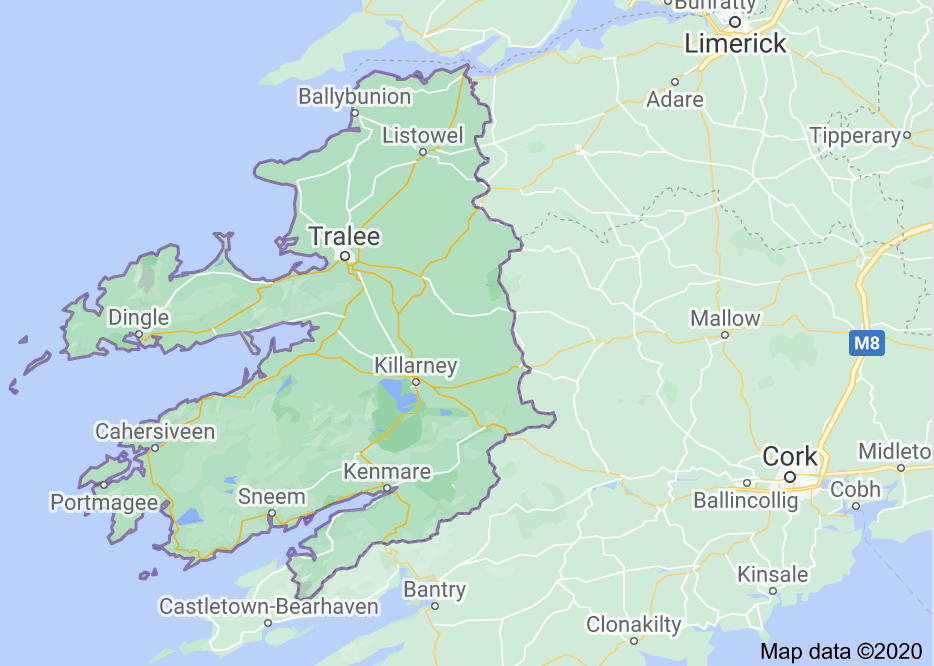
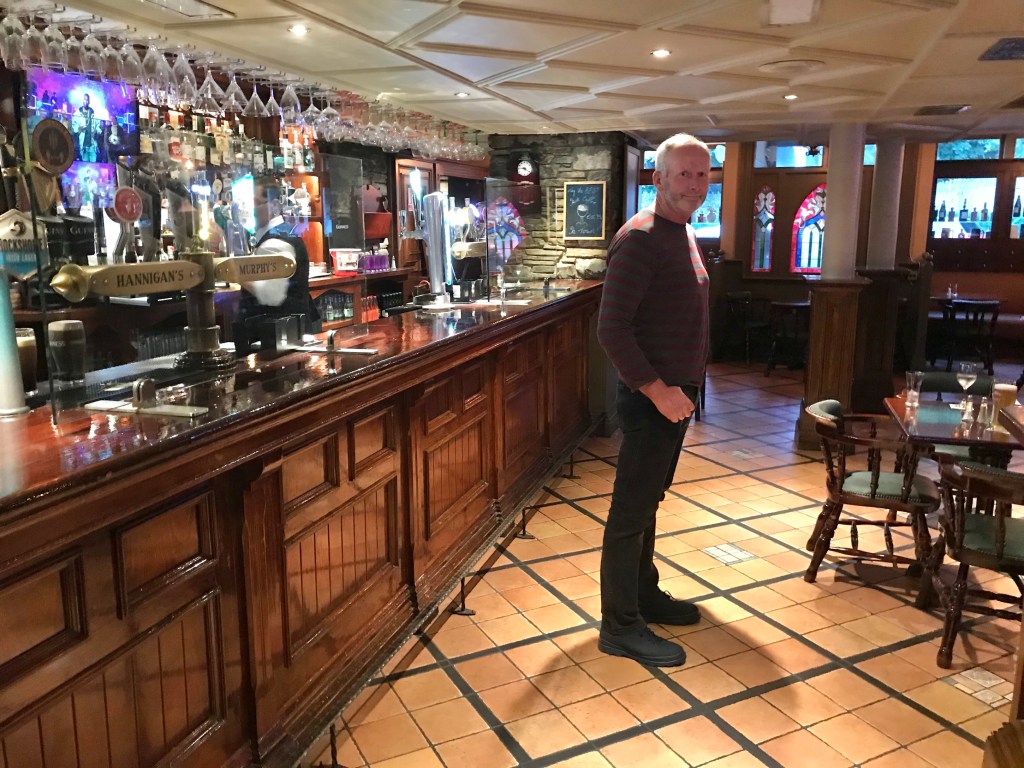
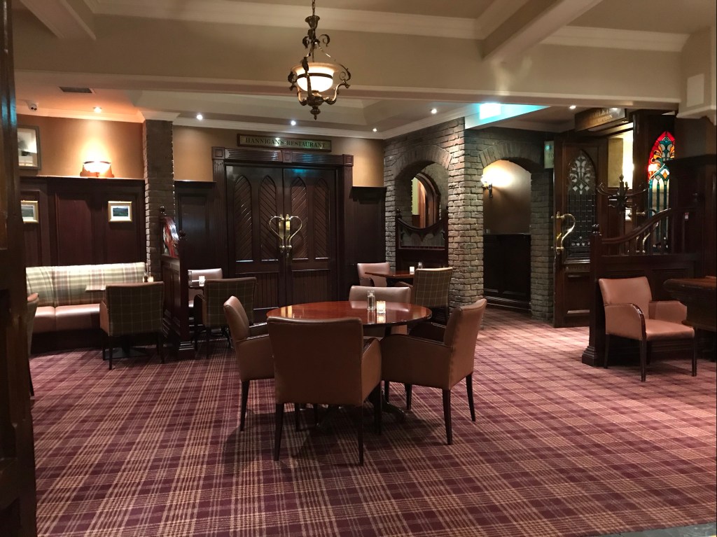
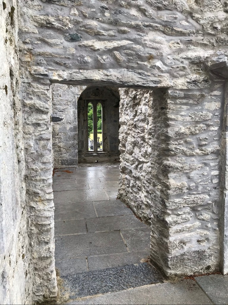
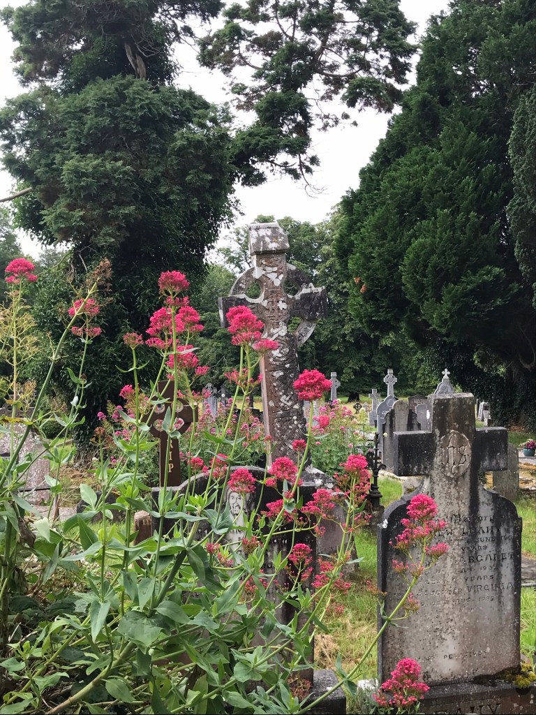
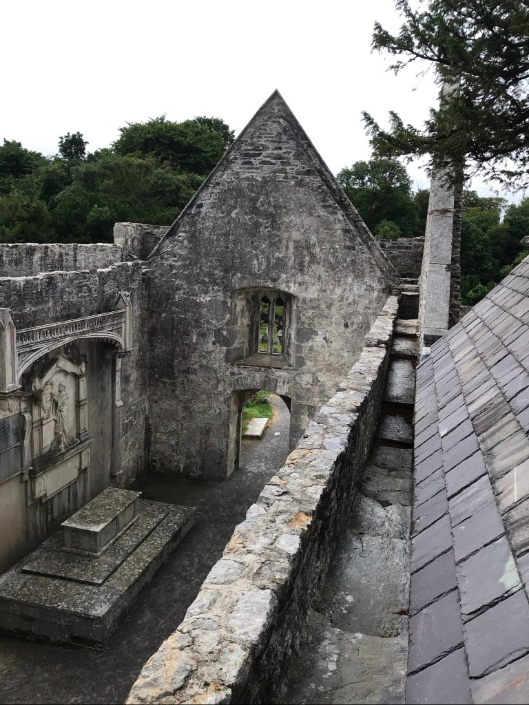
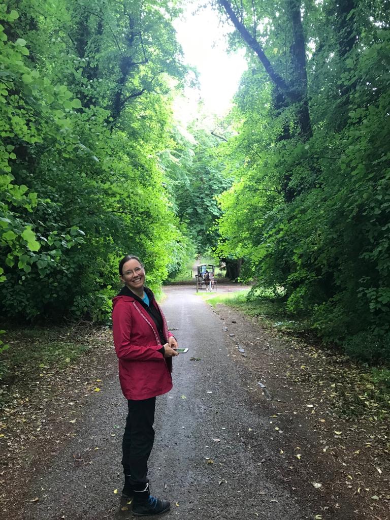
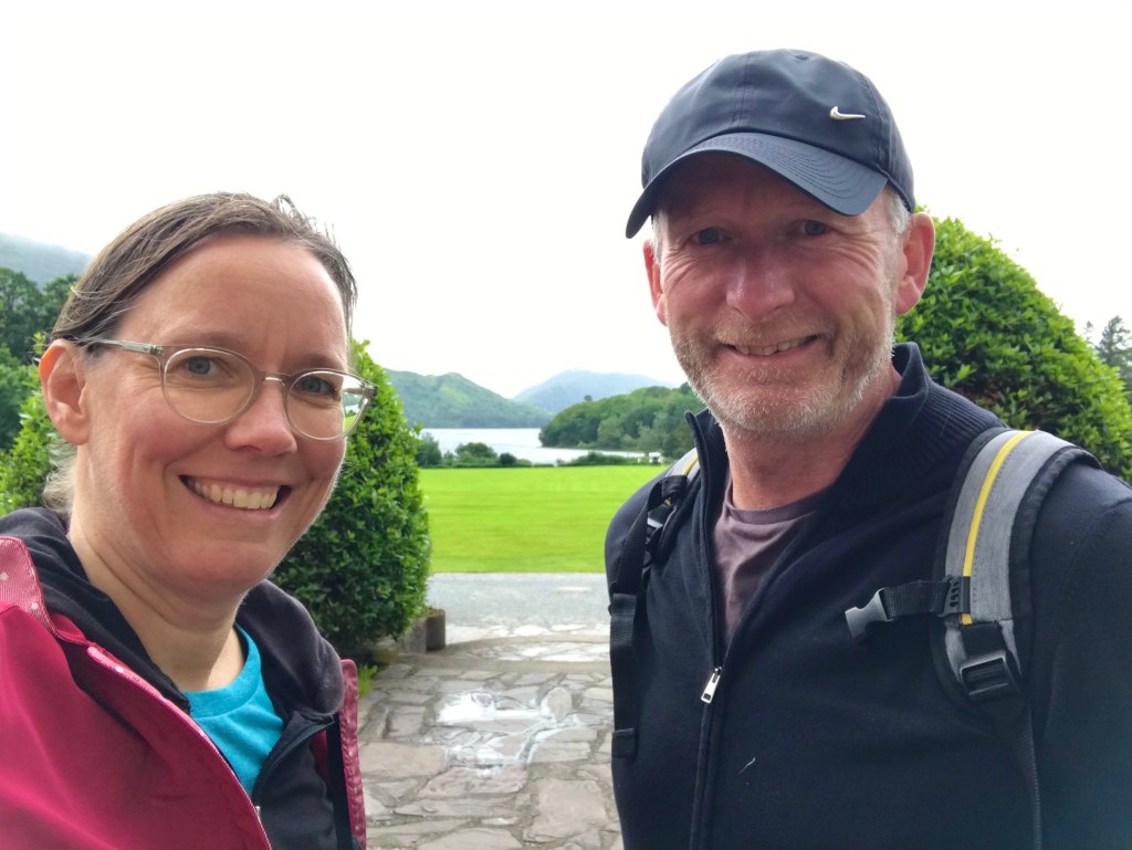
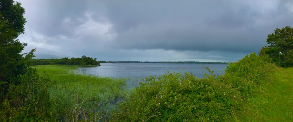
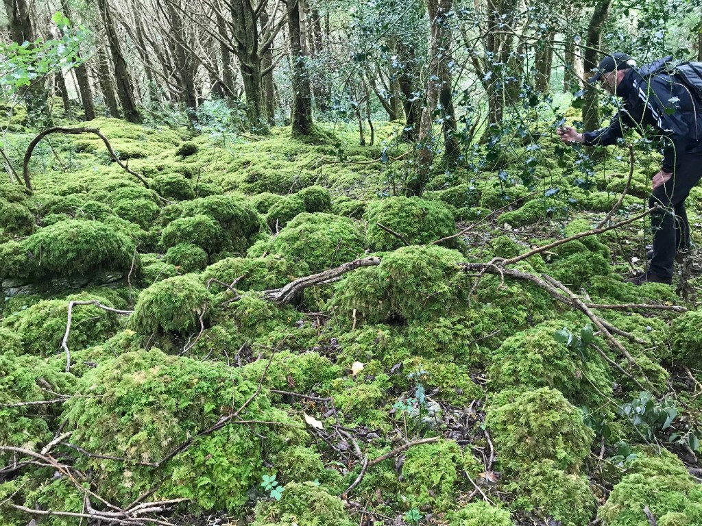
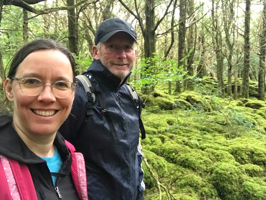
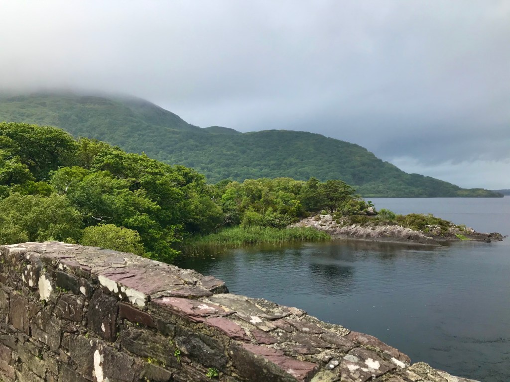
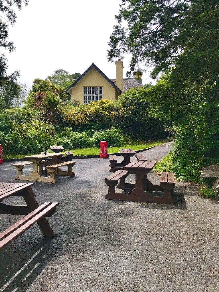
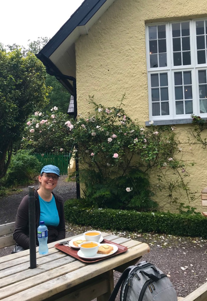
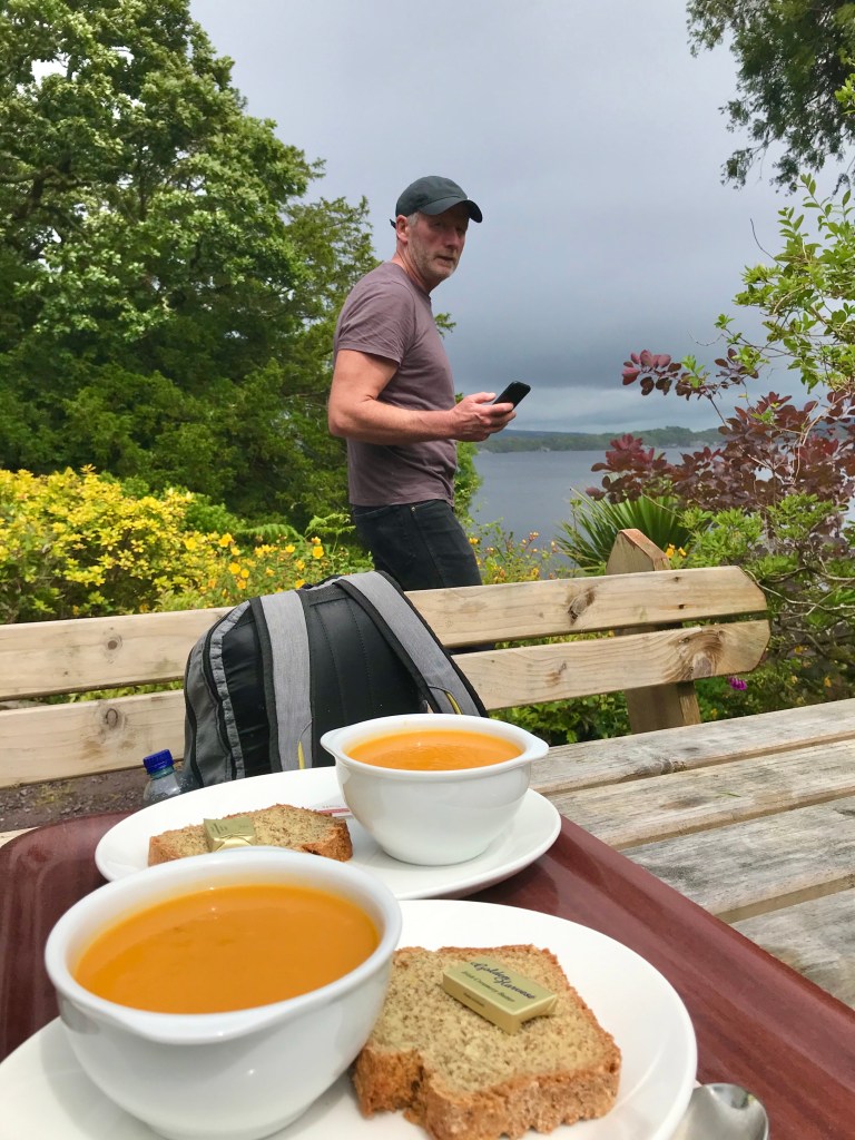
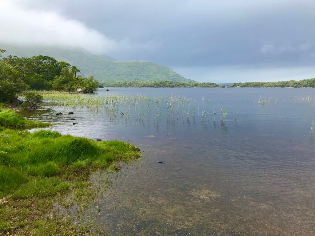
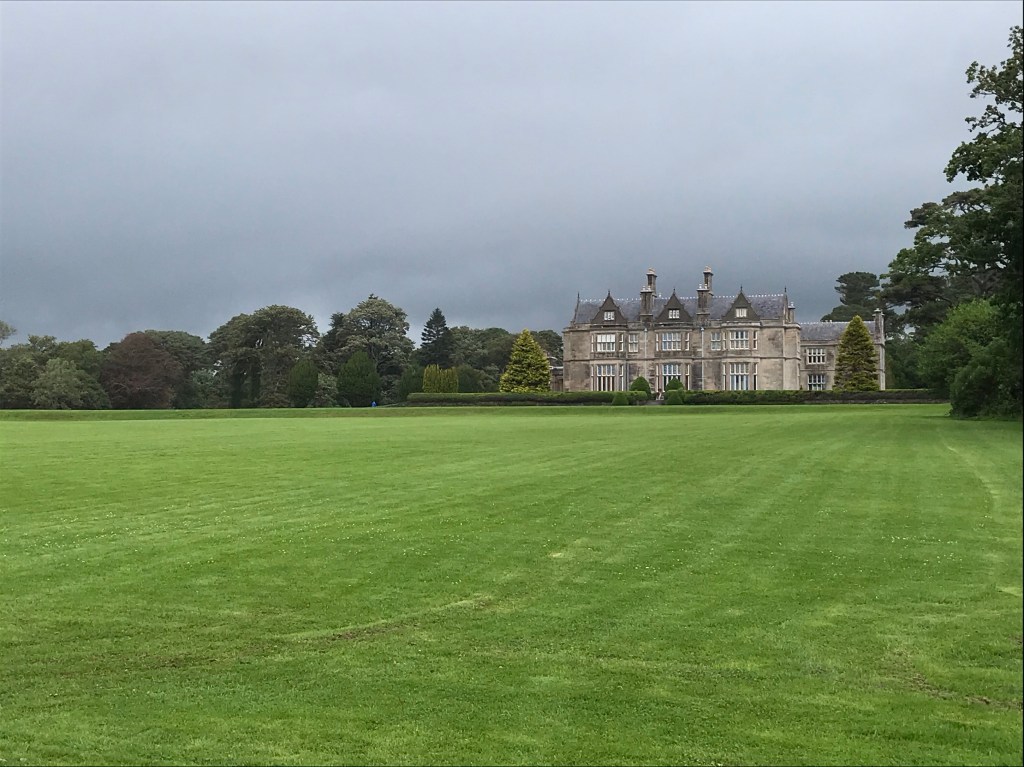
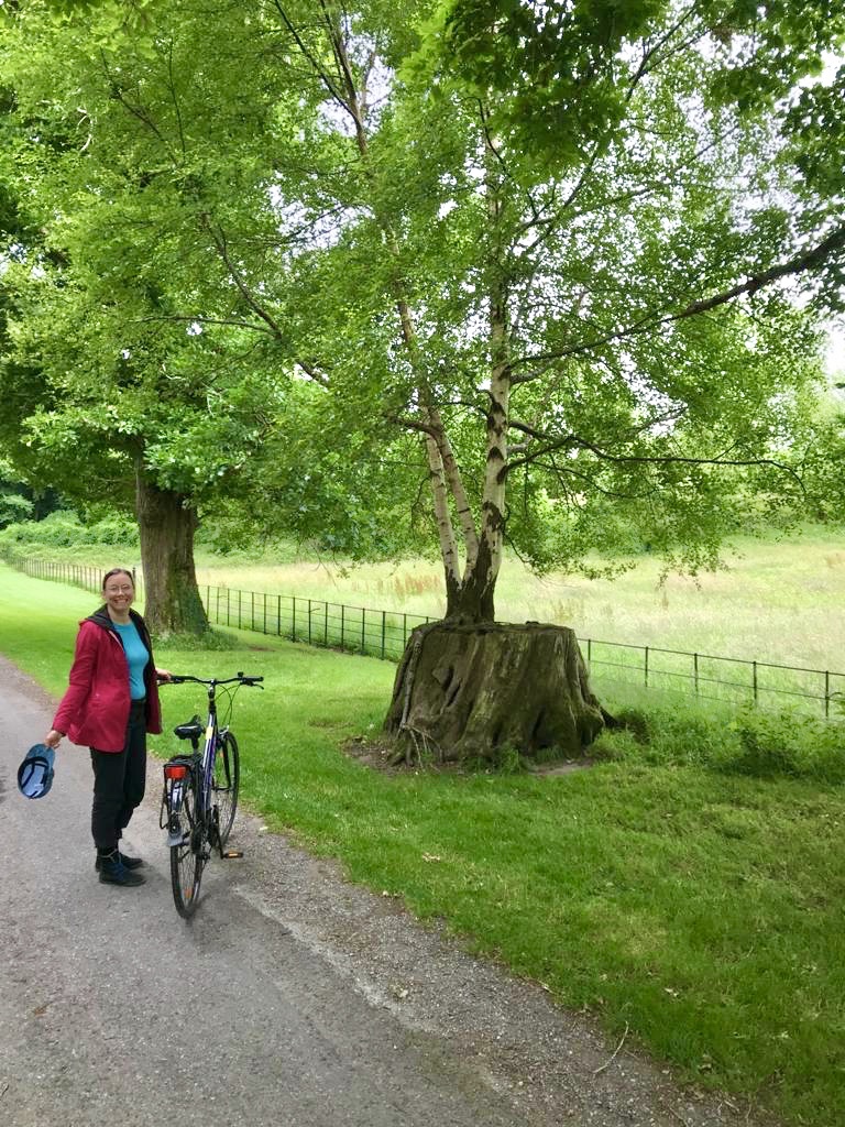
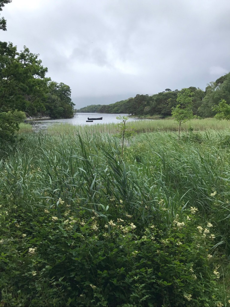
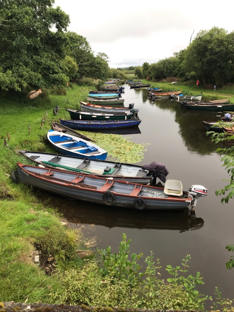
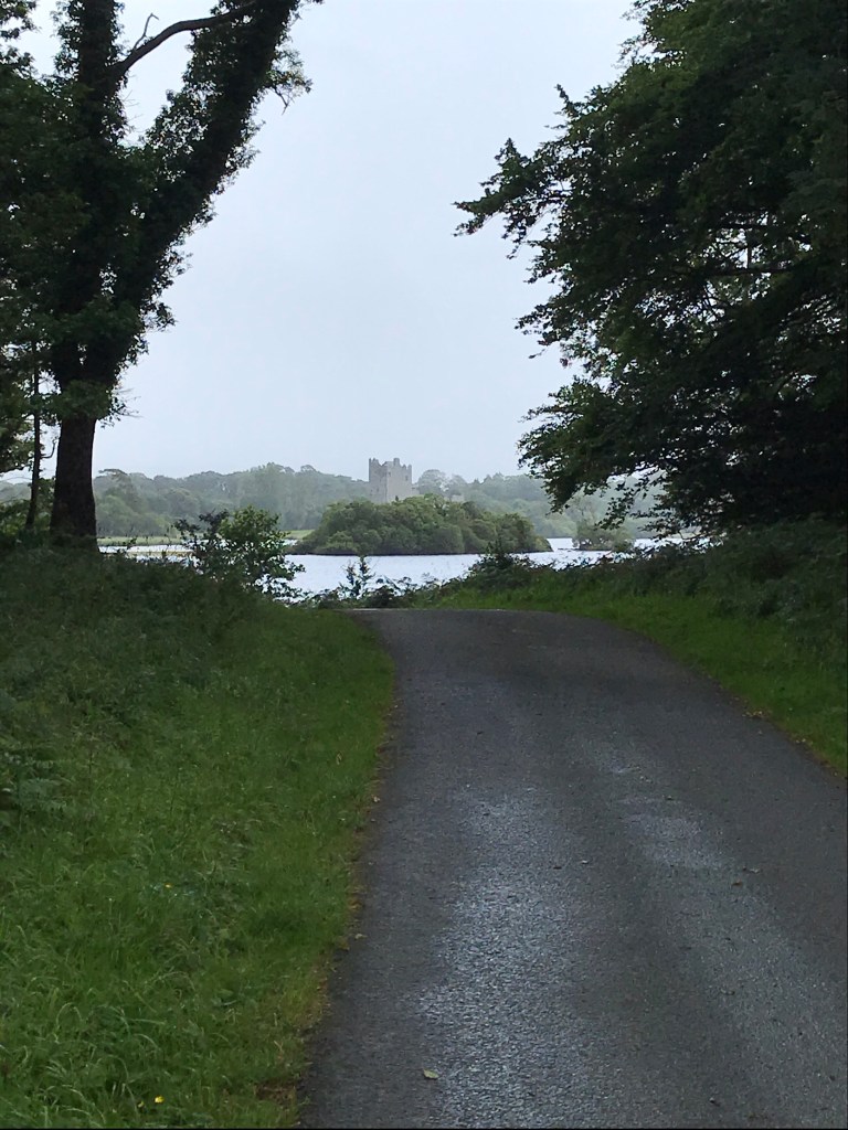
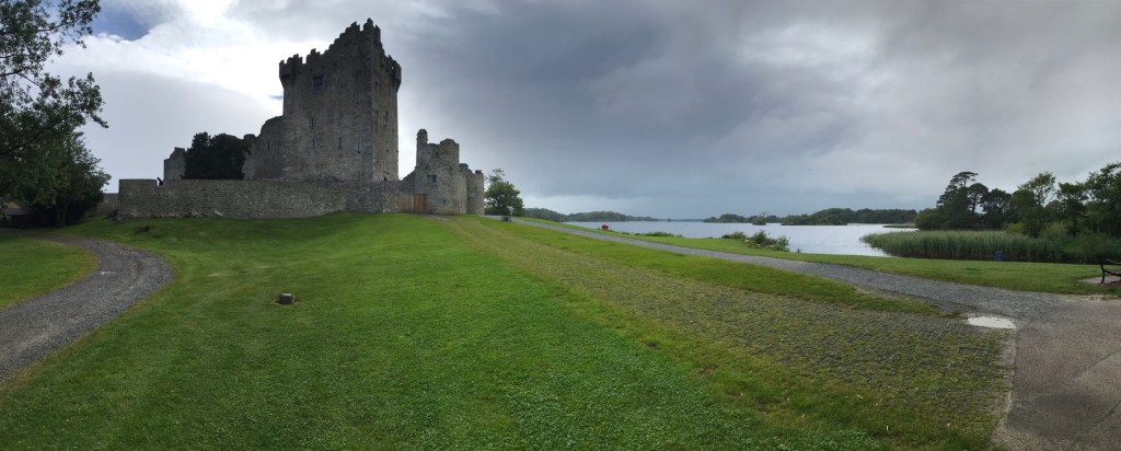
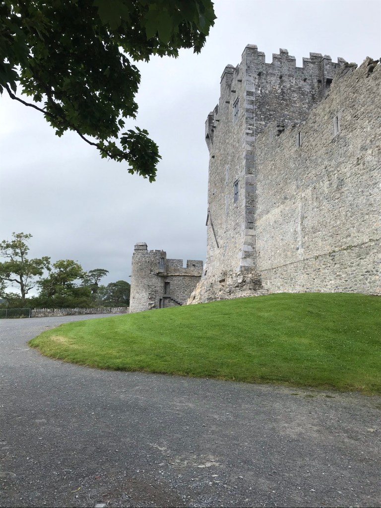
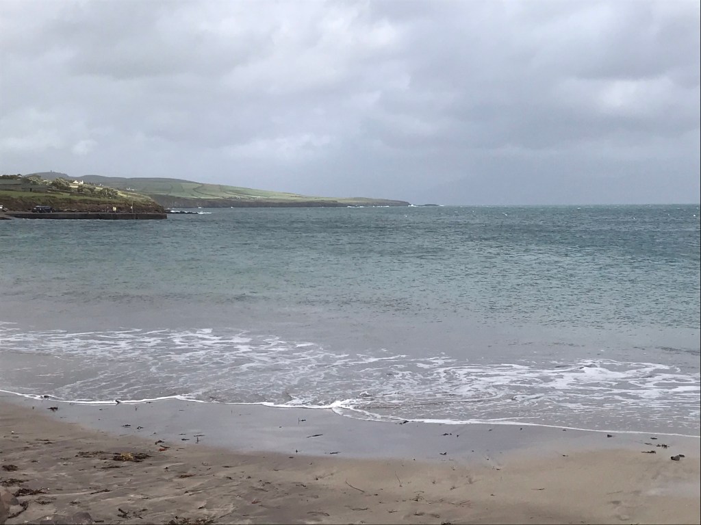
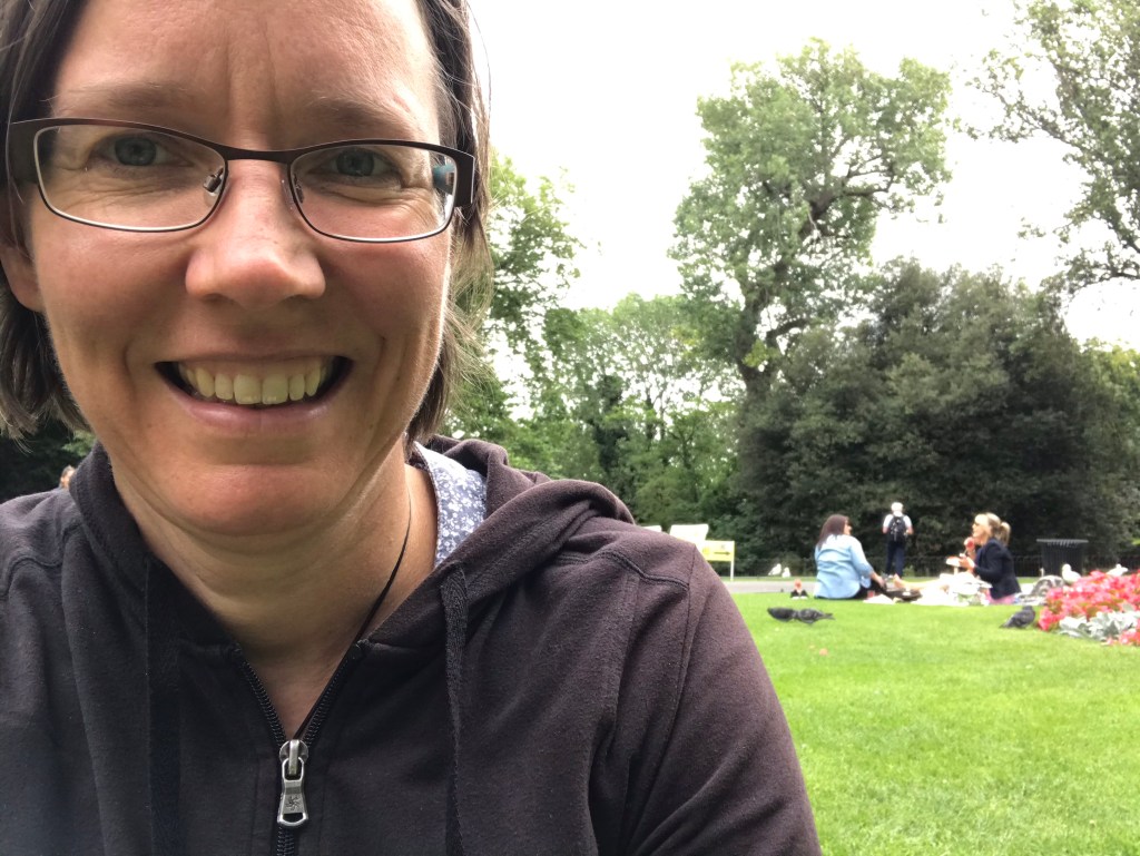
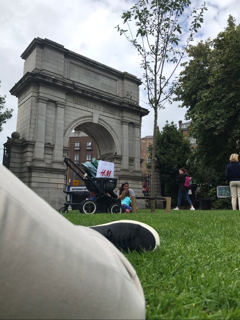
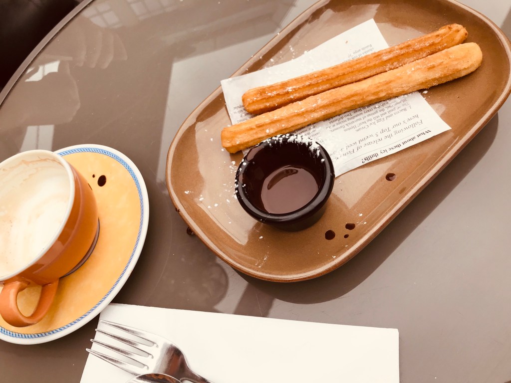
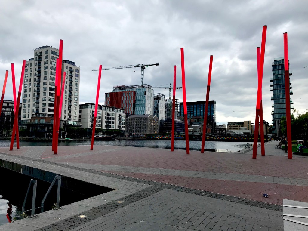
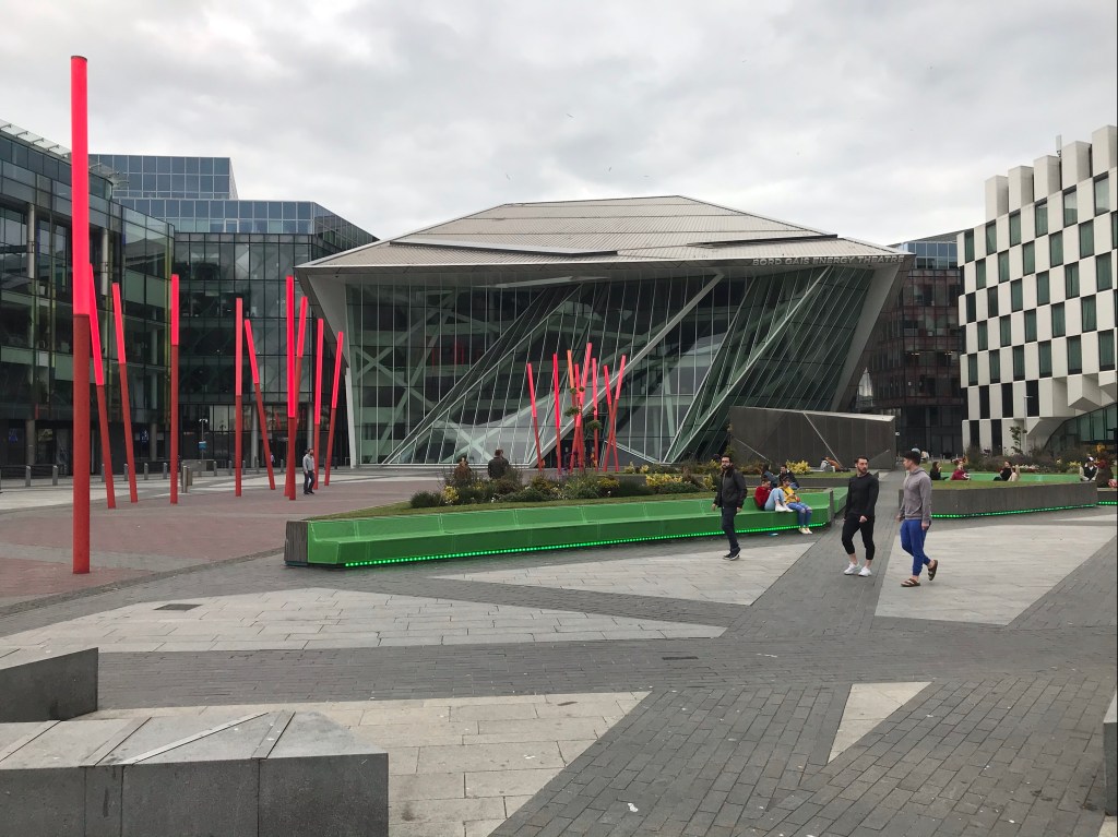
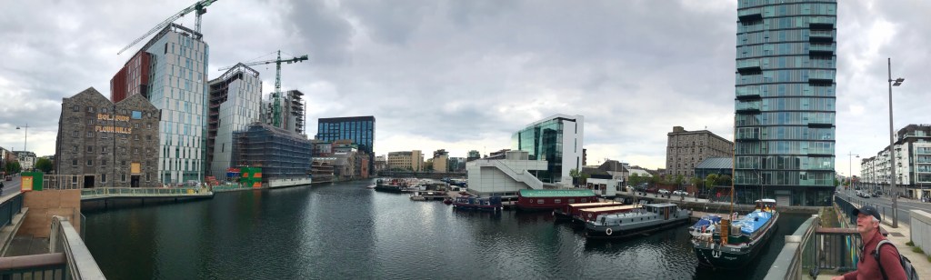
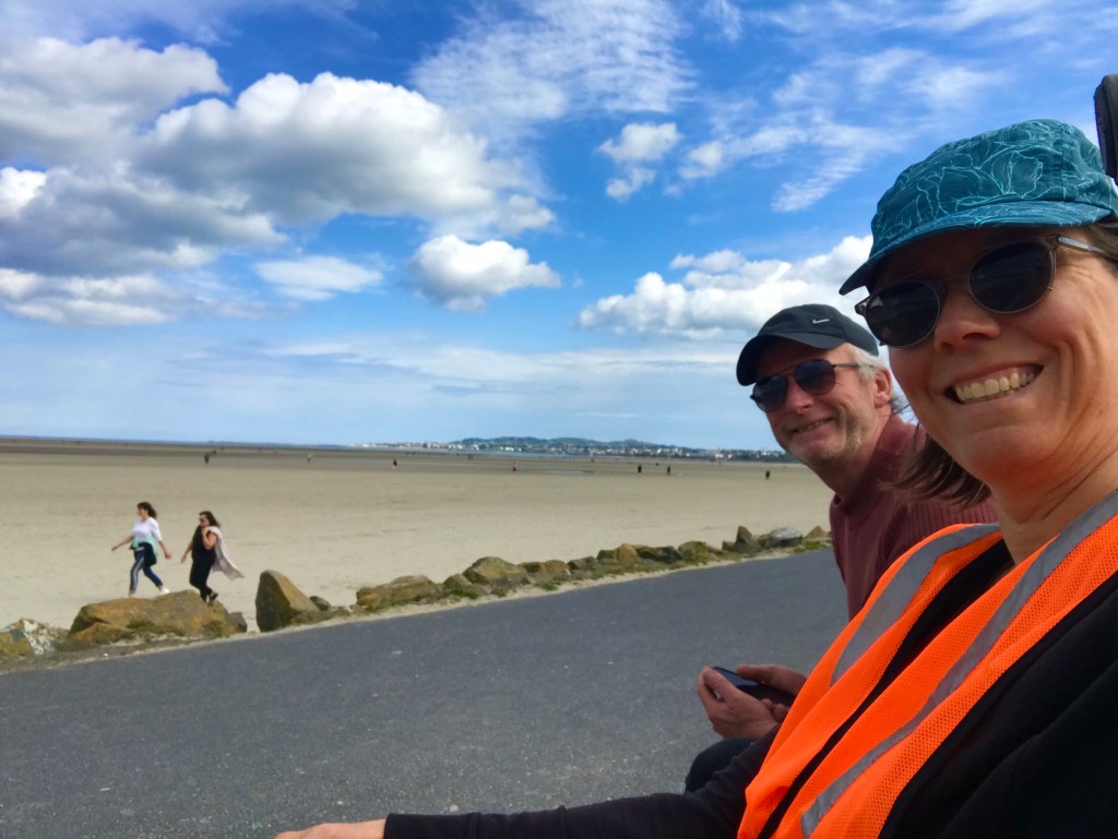
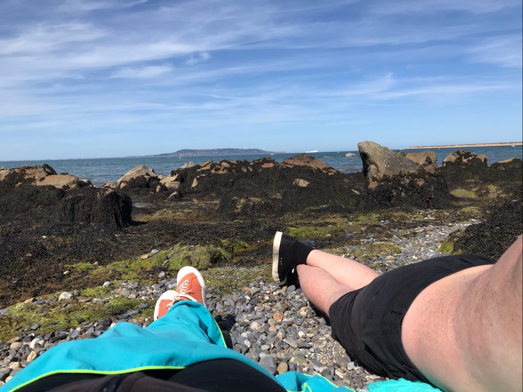
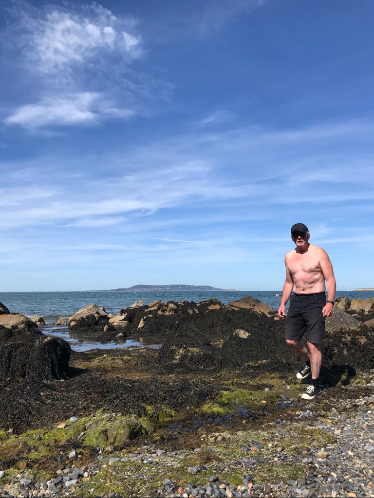
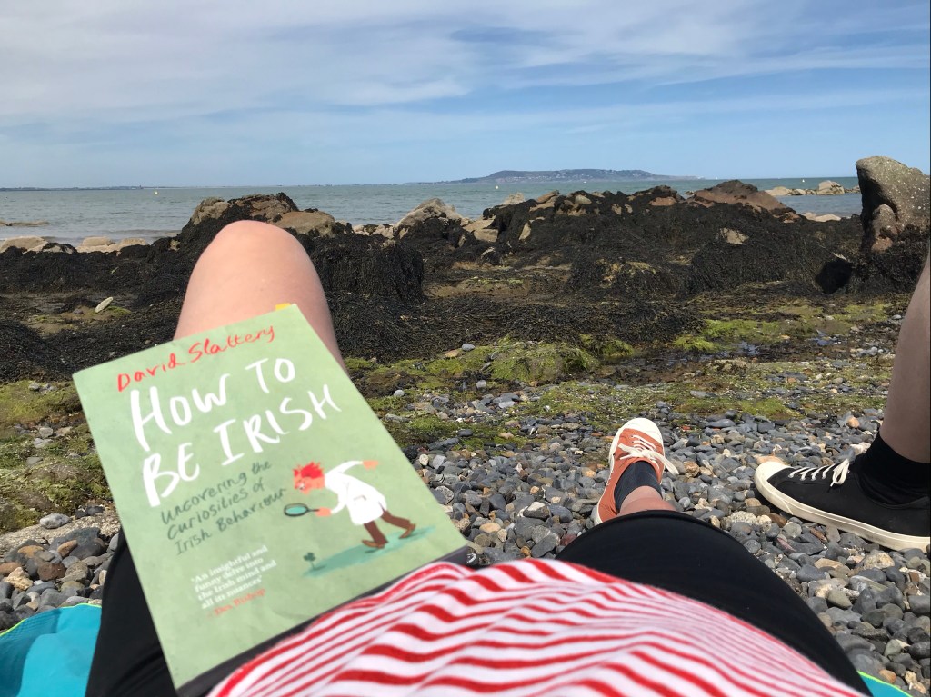
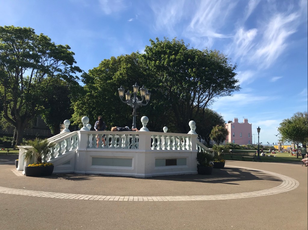
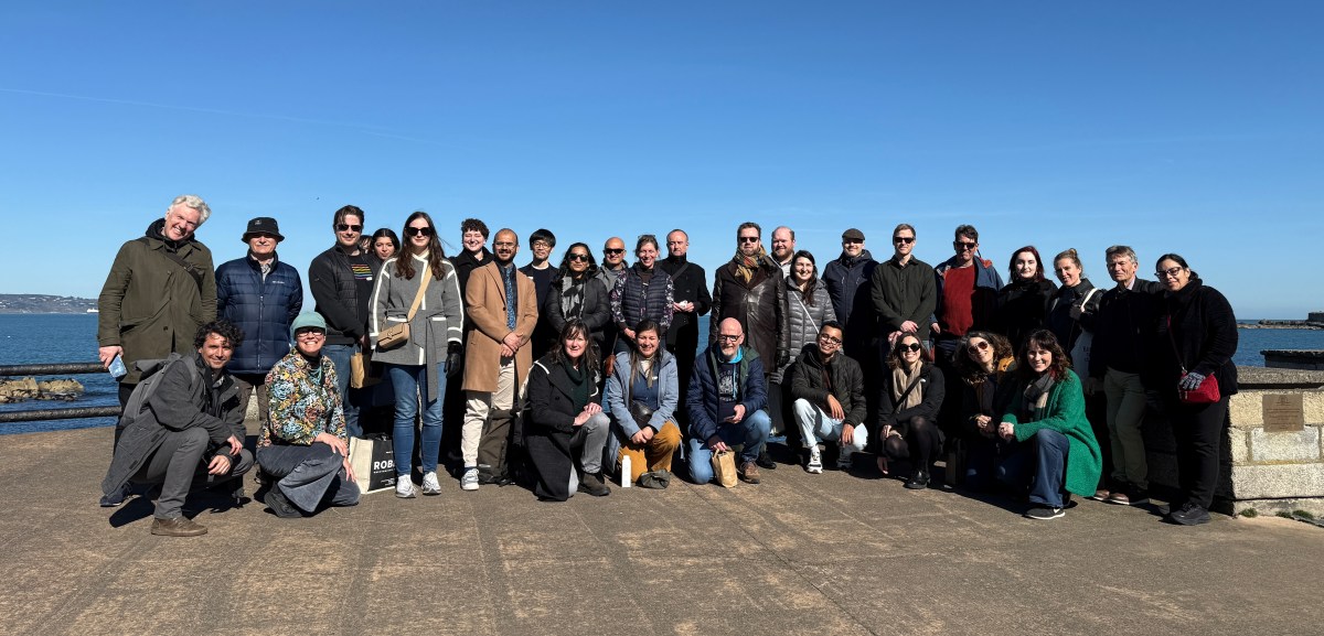
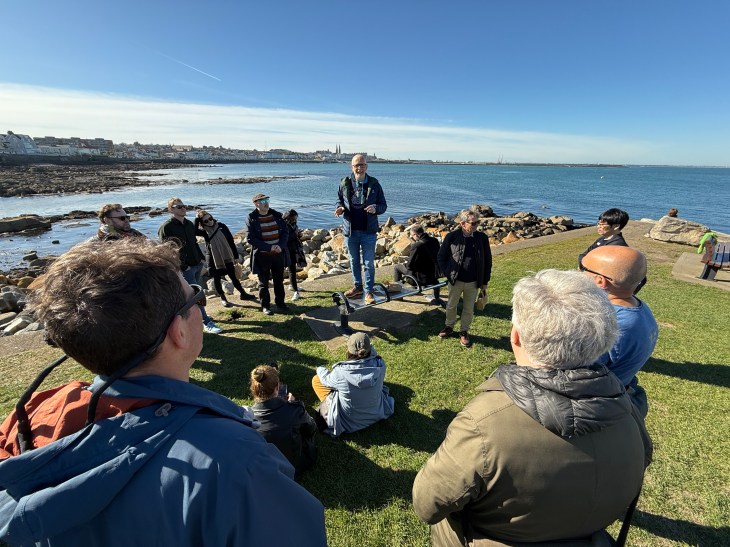
From March 24–26, my colleagues and I gathered at the Royal Marine Hotel in the charming seaside town of Dún Laoghaire, Ireland, for our small and cosy annual symposium. Mother nature blessed us with glorious weather, tasty and healthy food, gorgeous natural and architectural surroundings, an enchanting historic hotel, and new and renewed friendships.
Diana Martin, Mircea Tobosaru, and I organised the programme and all the details, demonstrating that collaboration is key to flourishing!
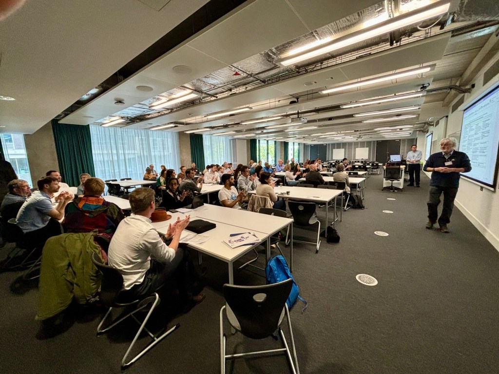
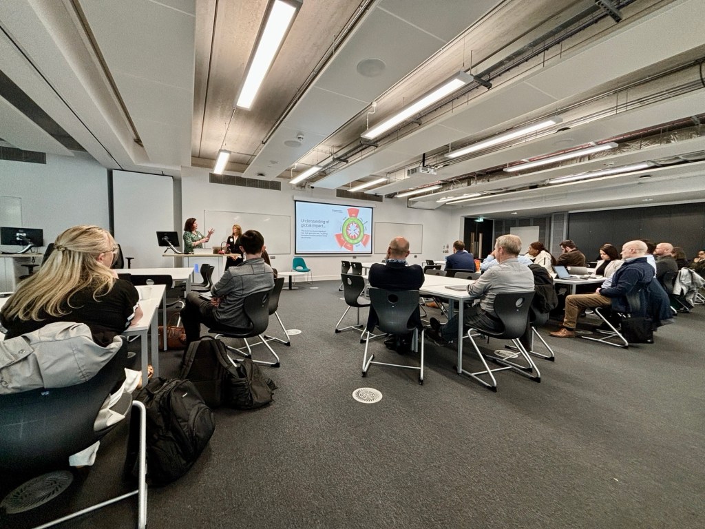
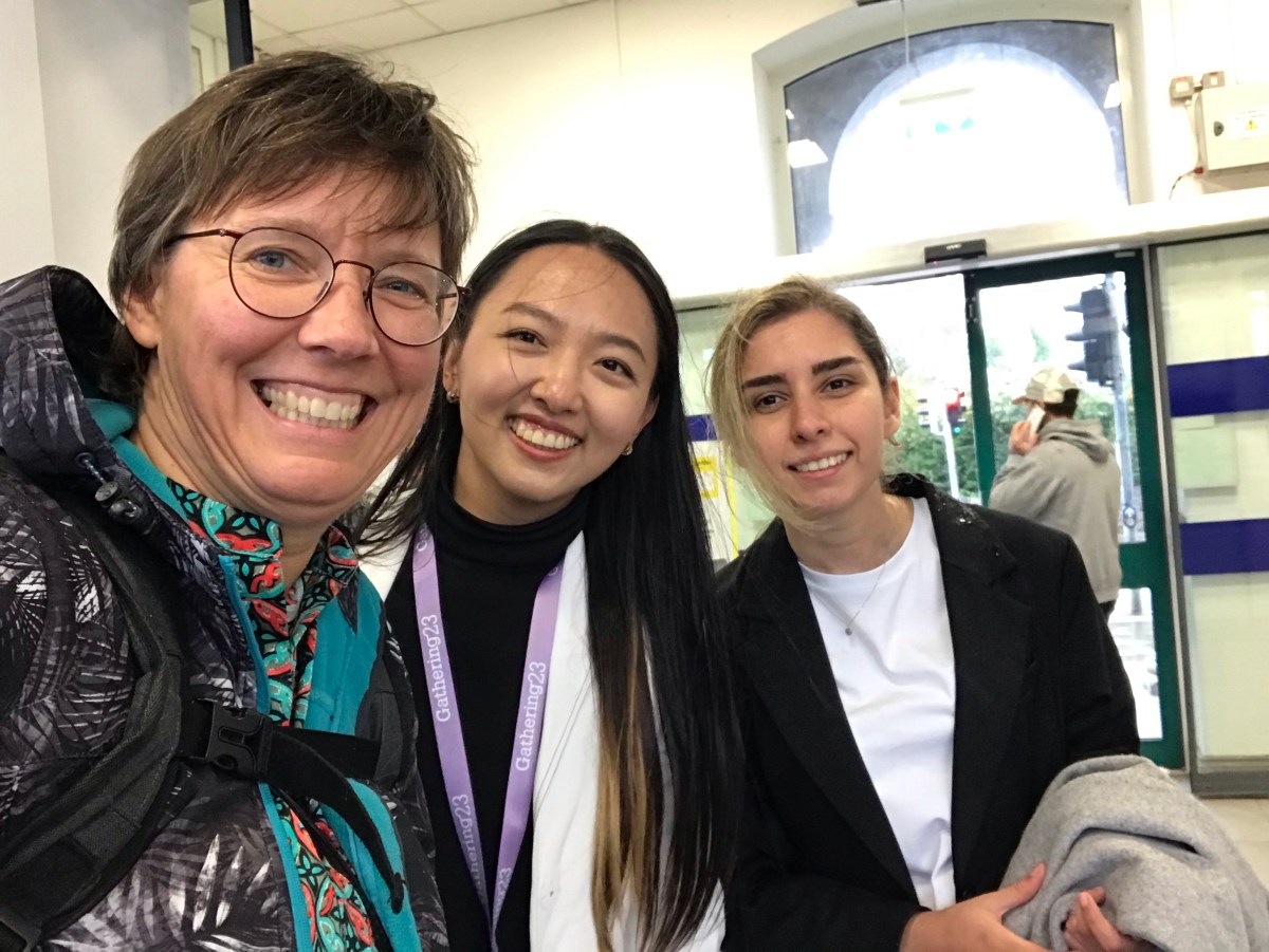
With 35 delegates from across the globe, this wasn’t just another academic conference—it was a meeting of minds and a celebration of our shared commitment to engineering ethics education.

The symposium’s main goal? Strengthening our collective capacity to teach ethics to future engineers. A key focus was the Routledge International Handbook of Engineering Ethics Education (RIHEEE)—a major collaborative effort by the SEFI Ethics special interest group. We reflected on what is presented in the book and considered how to extend its themes, translate into impactful teaching practices, and generate discussion more broadly in the places we live and work.

A Program Packed with Thought-Provoking Conversations
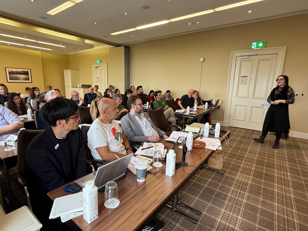
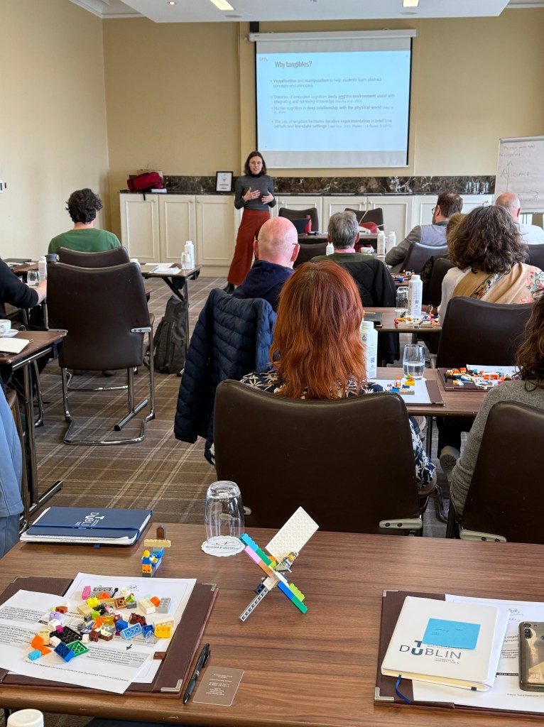
Over three days, we immersed ourselves in a mix of keynotes, workshops, and panels, tackling big questions from multiple angles:
Keynotes that Challenged and Inspired
- Mary Nolan explored the role of care ethics in engineering, pushing us to think beyond traditional engineering thinking.
- Paula Tomi examined the nature of truth, a concept that sits at the heart of both engineering and ethics.
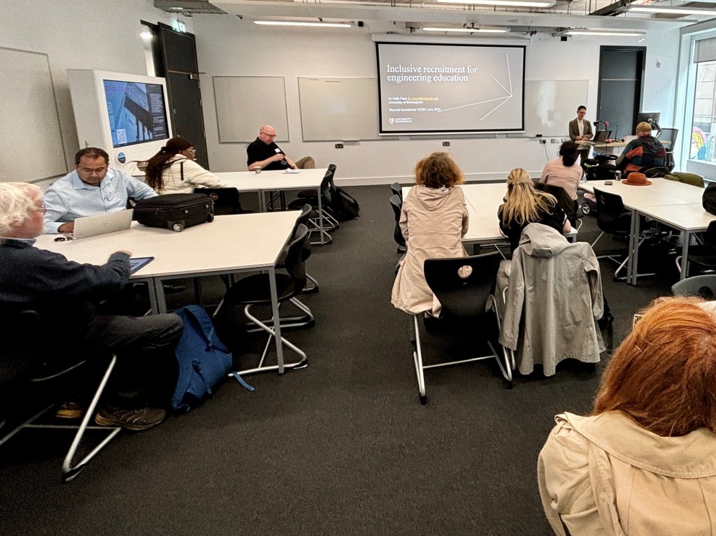
- Tom Børsen introduced us to techno-anthropology, showing how it intersects with engineering ethics education.
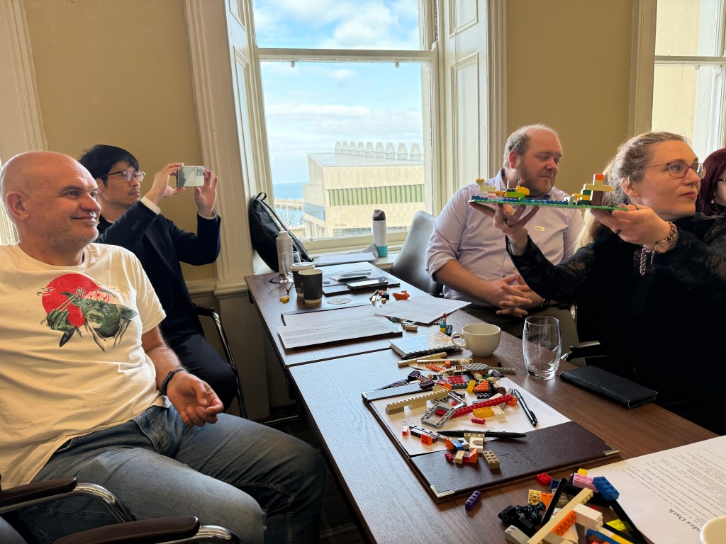
Workshops that Sparked Debate and Collaboration
- Care Ethics—How do we broaden engineers’ notion of responsibility?
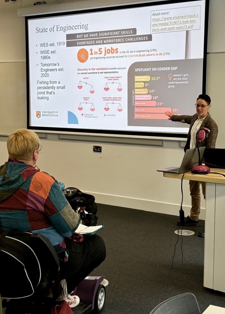
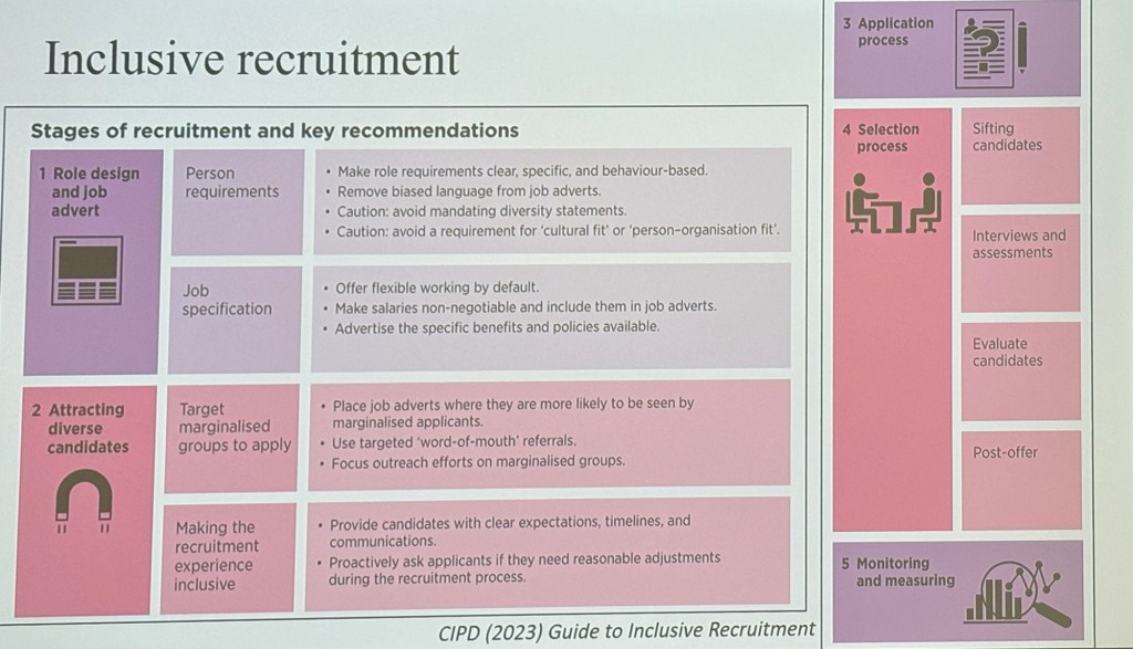
- AI Experimental Philosophy—How can philosophy guide us in using and developing artificial intelligence?
- The Archimedean Oath—Should engineers take an ethical oath, much like doctors do?
- Quantitative Methods & Ethics—How can we effectively describe and report ethical impact?
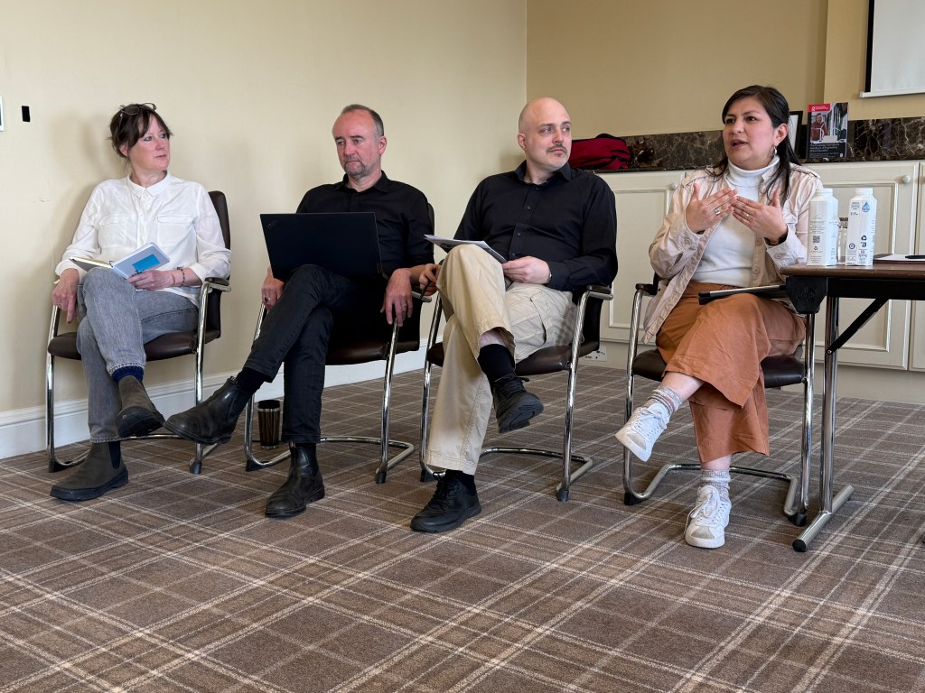
Panel Discussions: Making Ethics Education More Practical
Our panelists had a specific challenge: dive into a self-selected sections of RIHEEE and critically assess its themes. We asked: What patterns do you see across the set of chapters in your section? What’s missing? How can can educators make use of the content? How can we help them do that? Can we translate theoretical insights into tangible strategies that can be applied in classrooms and institutions worldwide yet still reflect local culture and values?


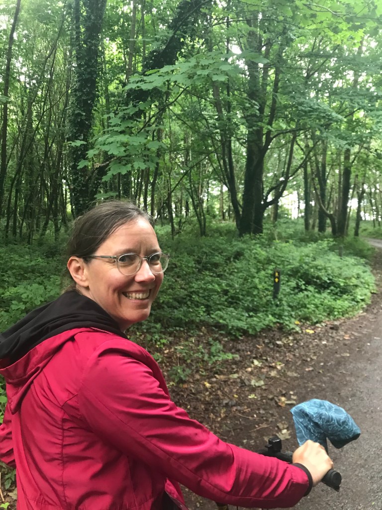
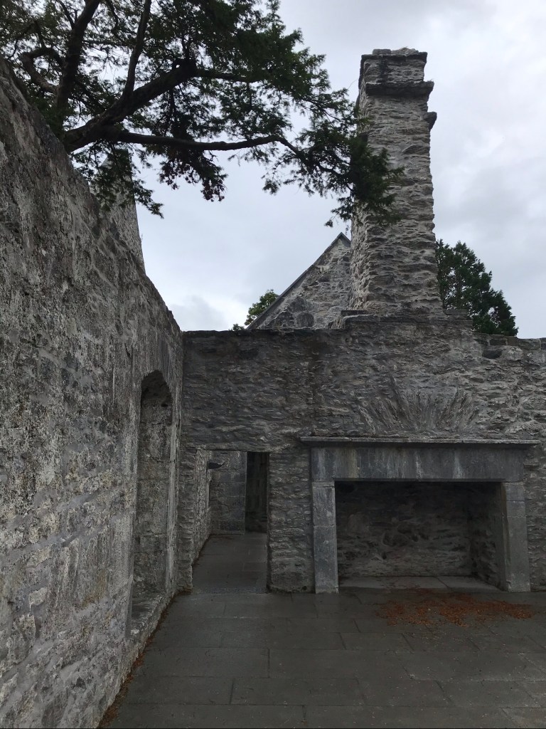
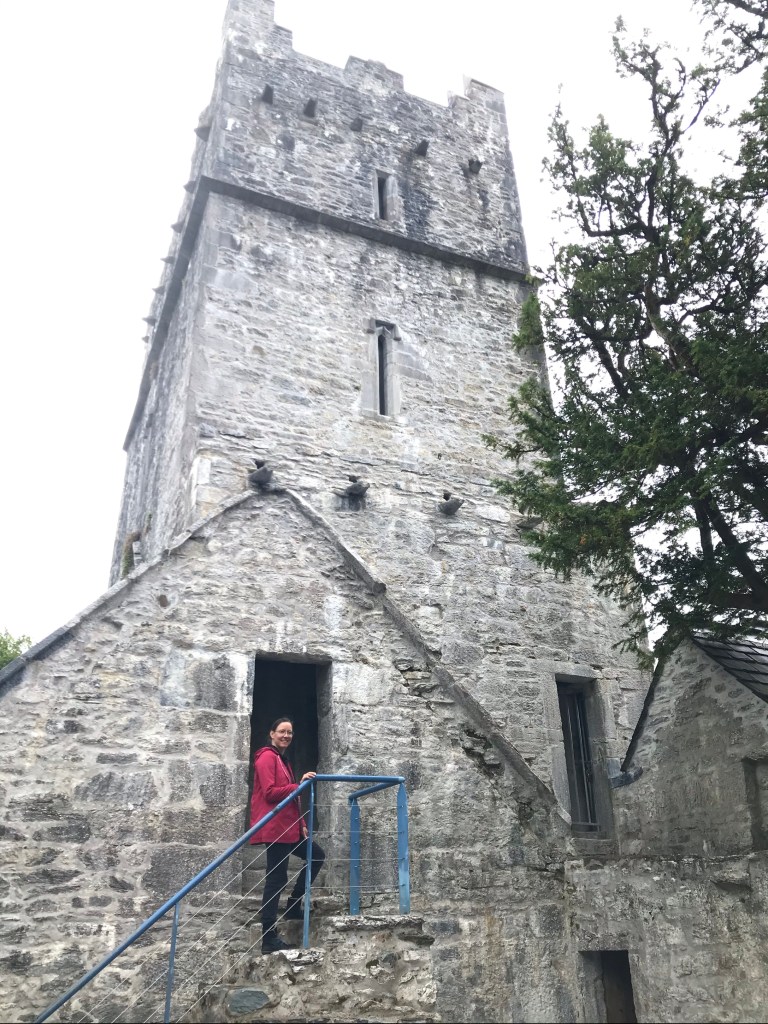
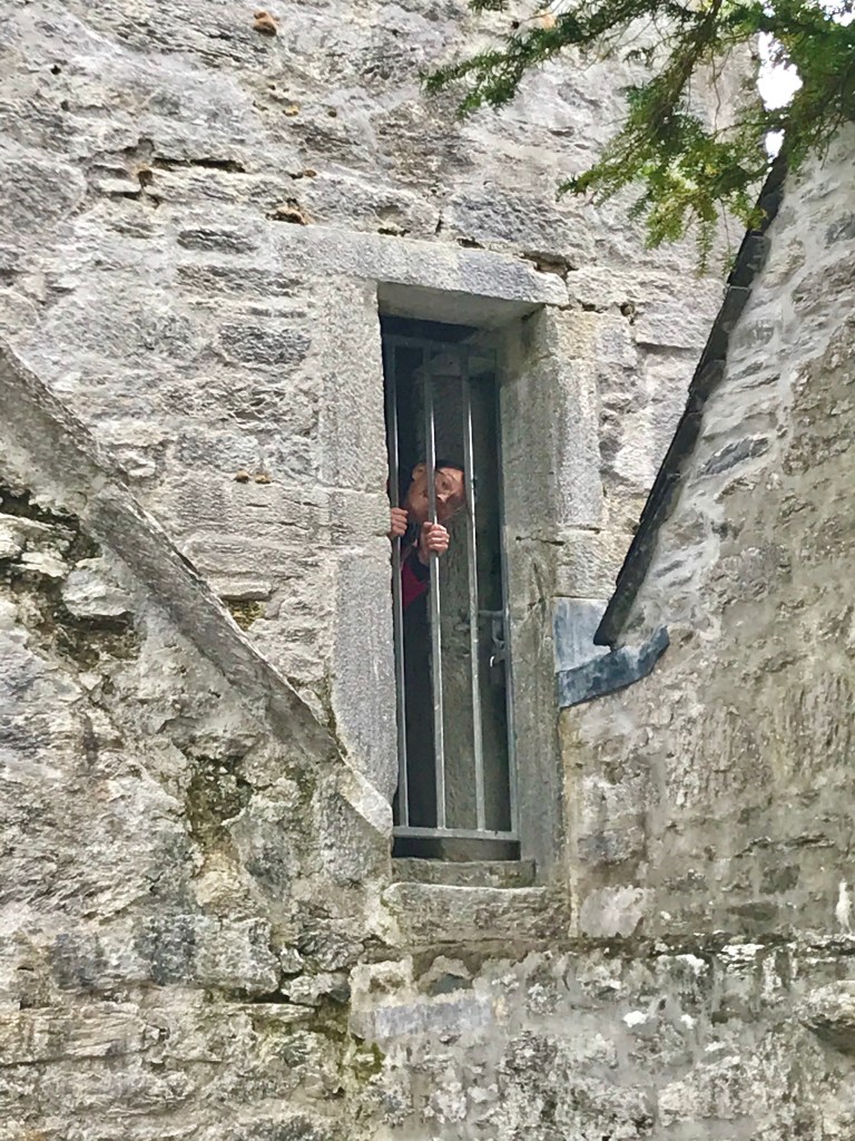
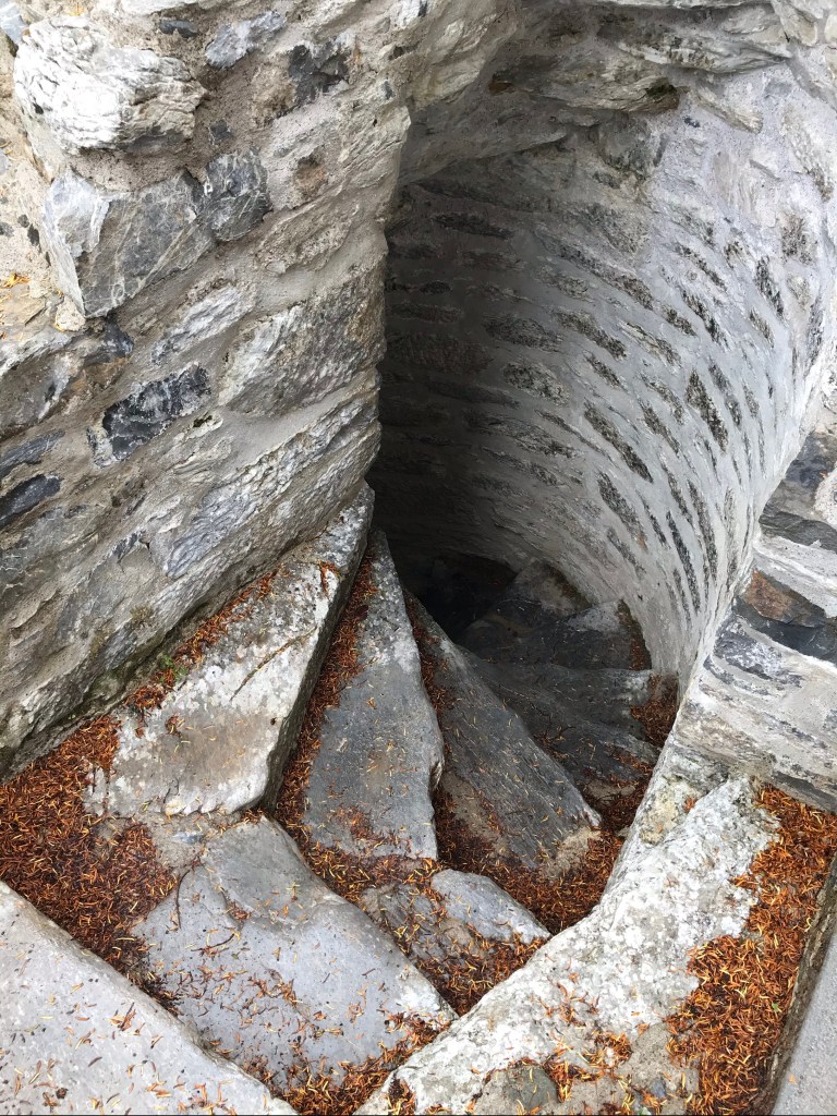
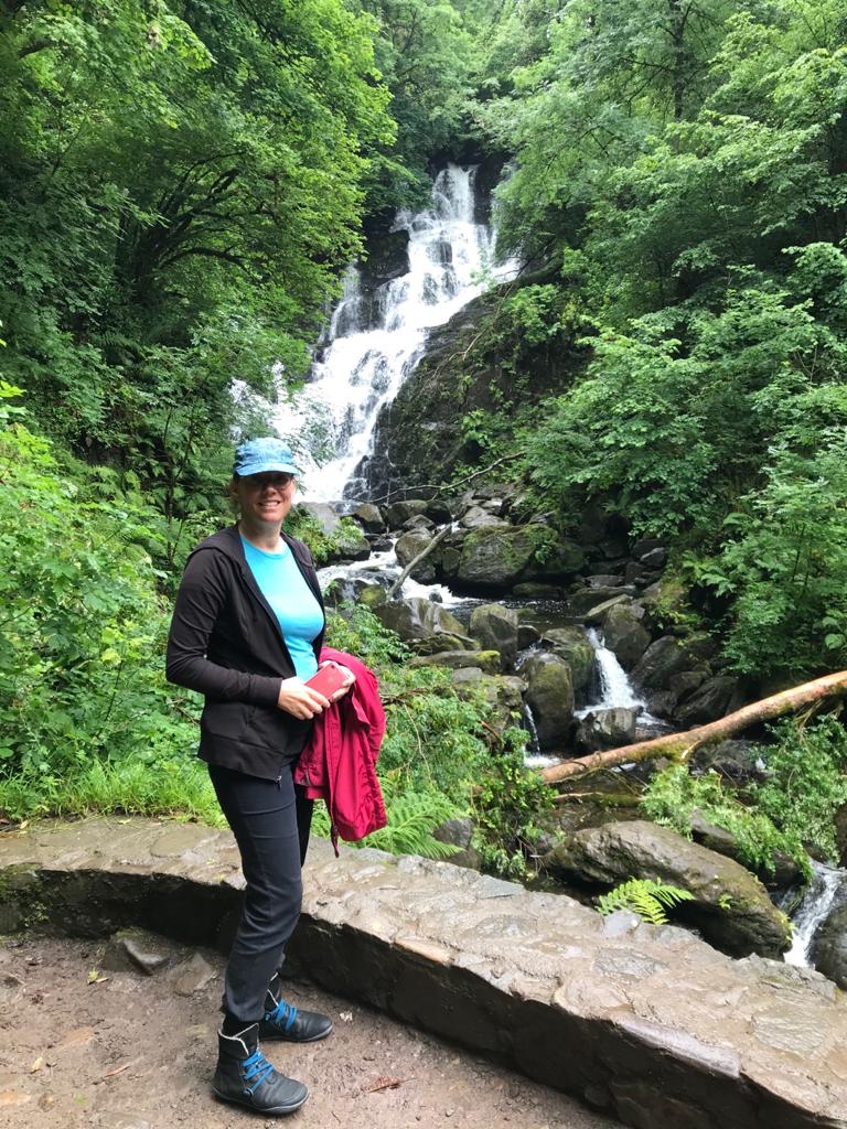
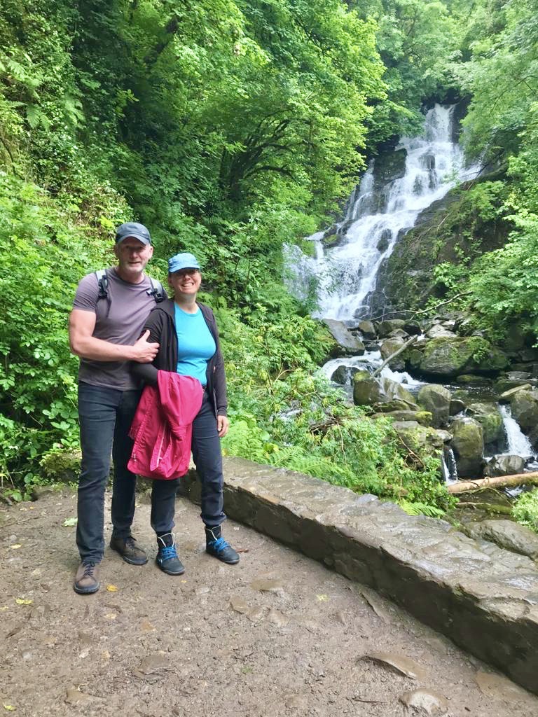
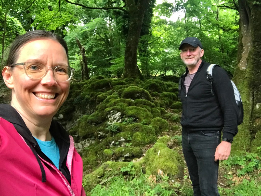
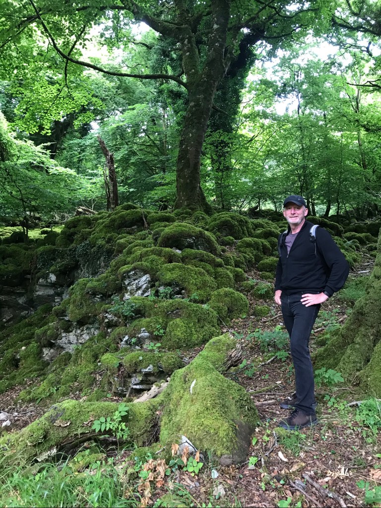
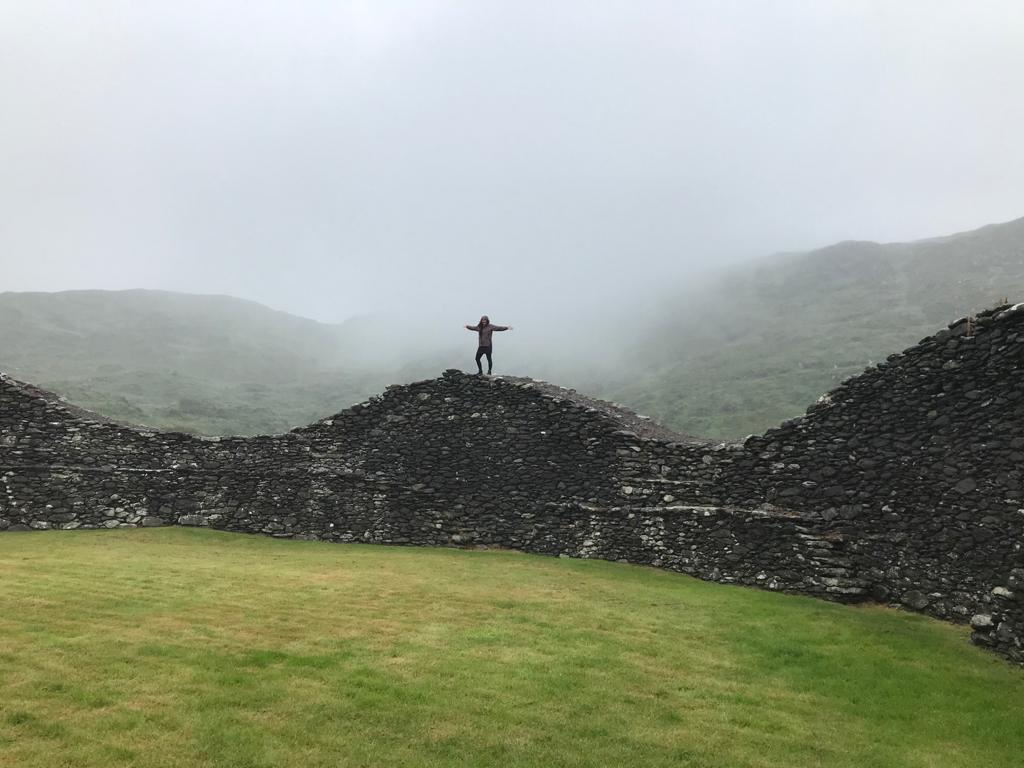
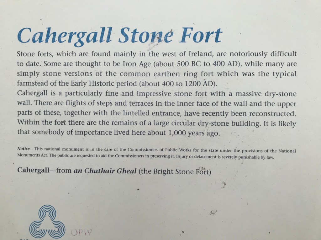
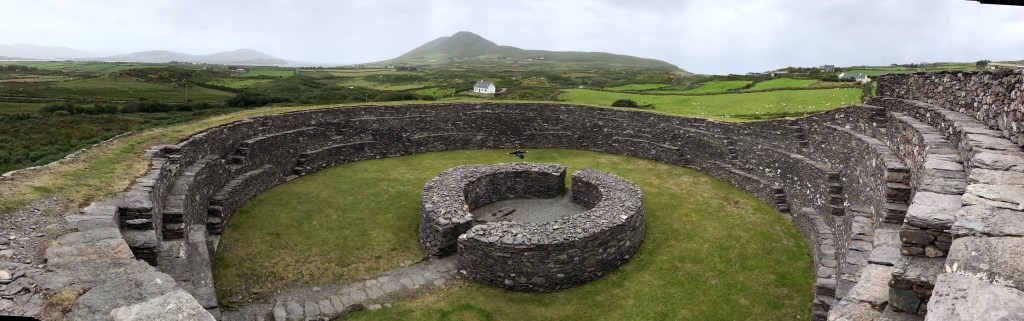
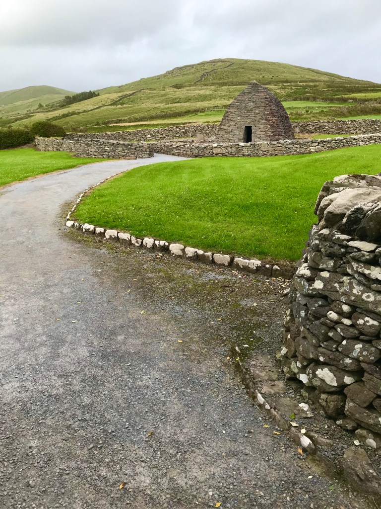
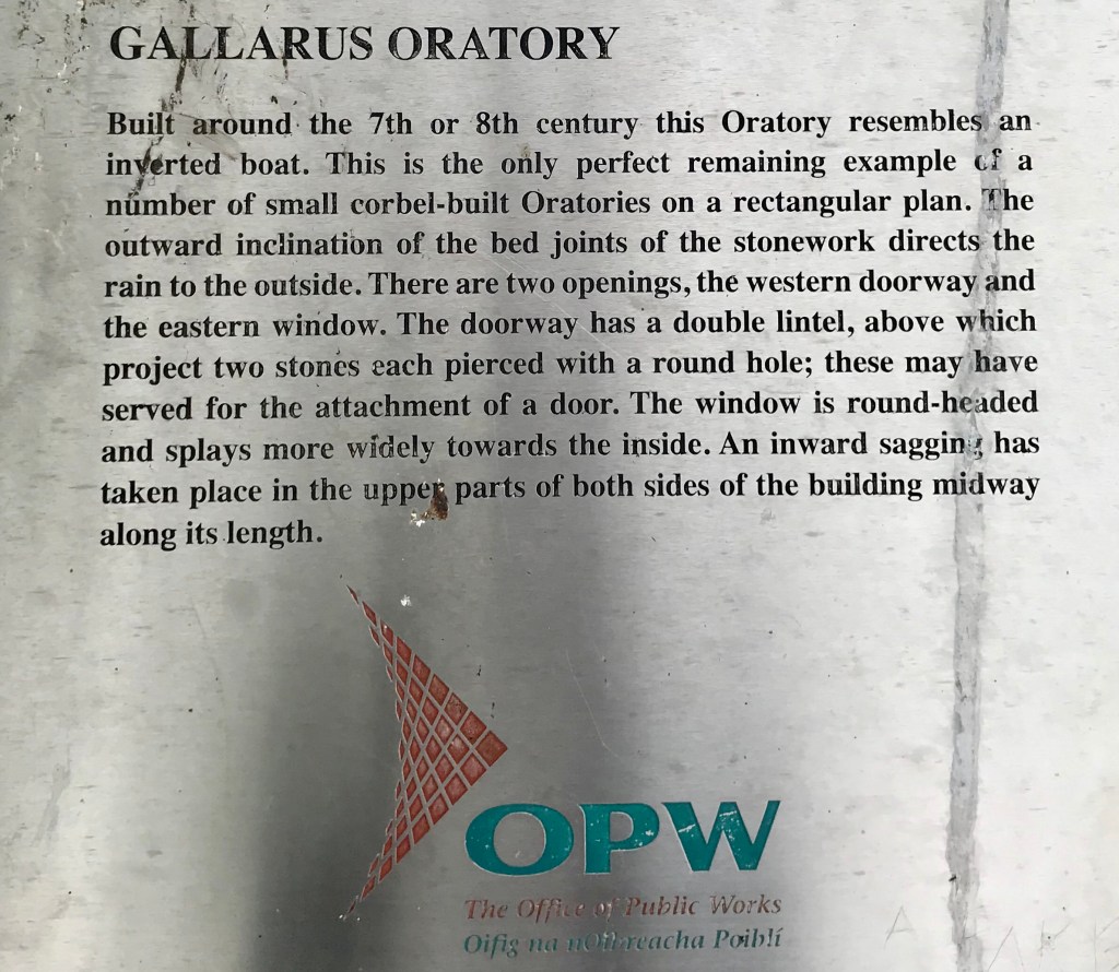
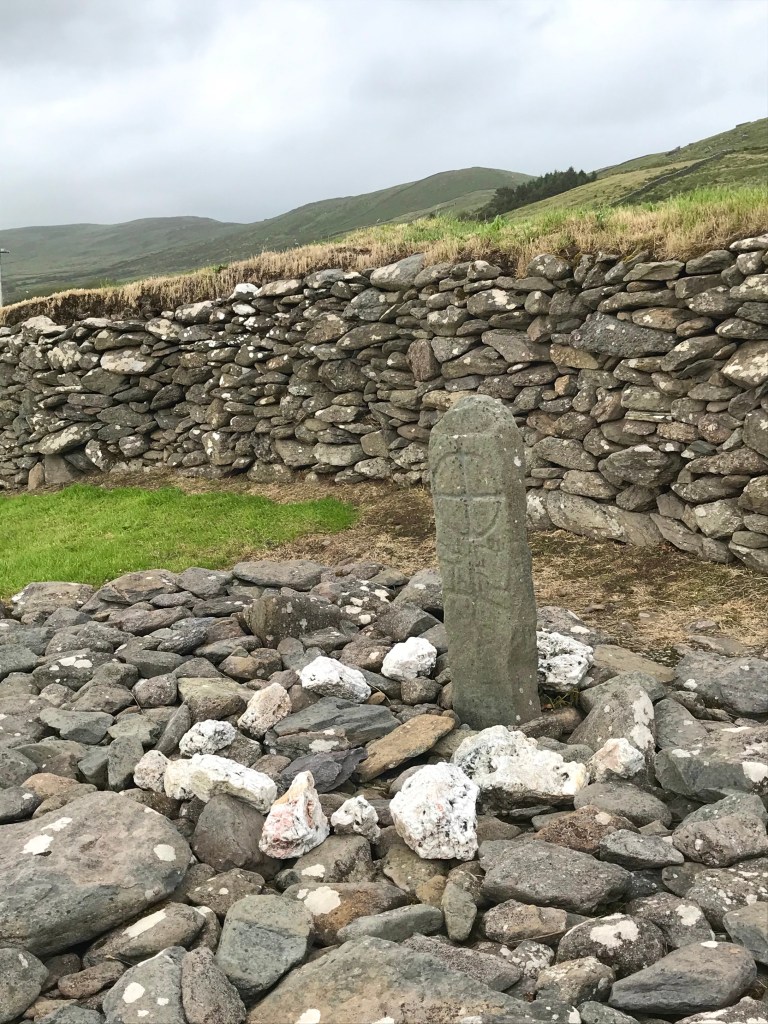
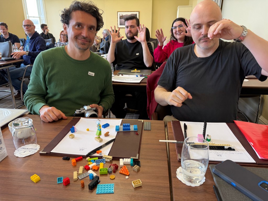
There were so many very special aspects, including exploring care ethics in depth and applying care ethics, and the walking tour was truly spectacular.
A Literary and Cultural Interlude
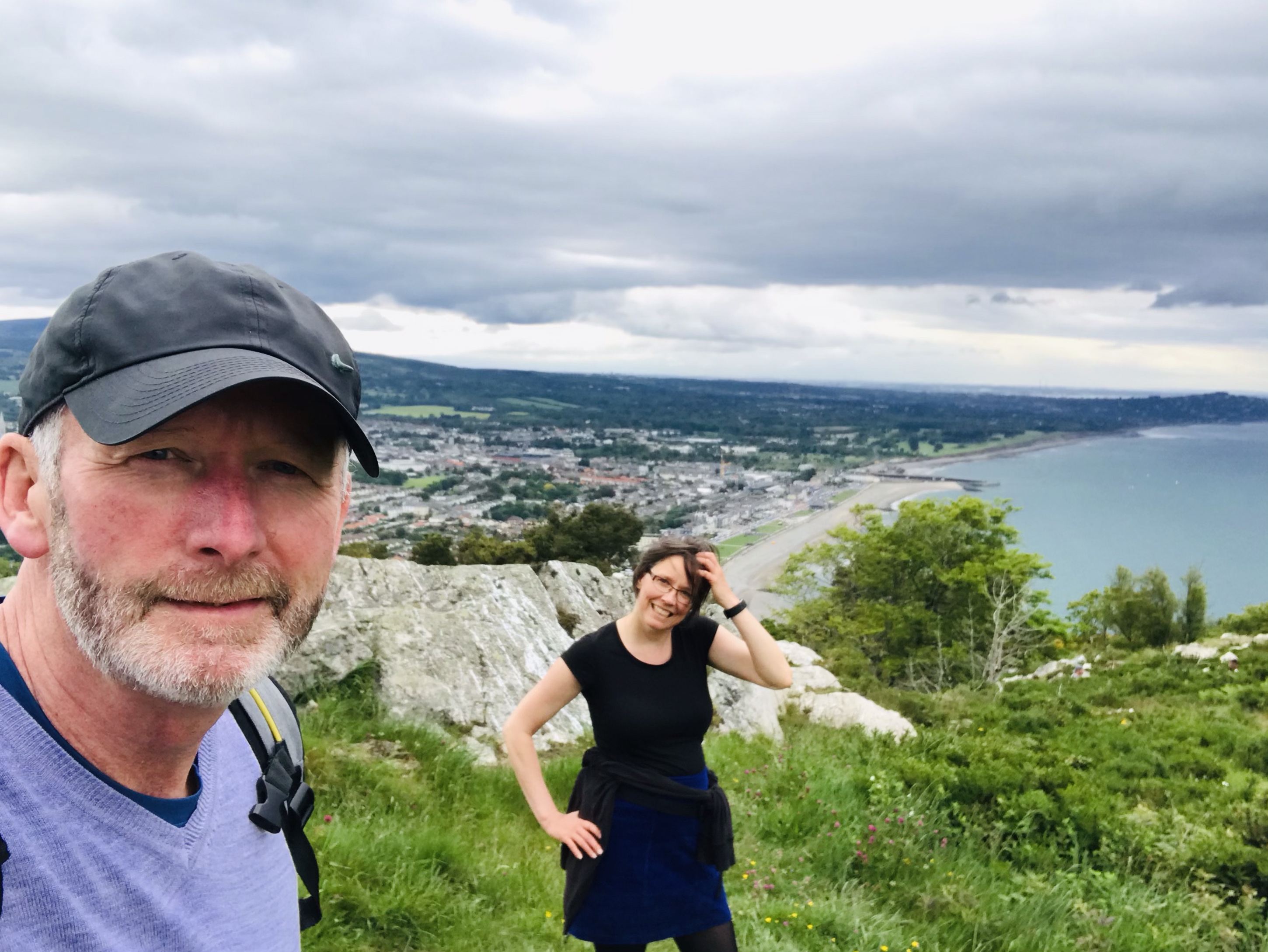
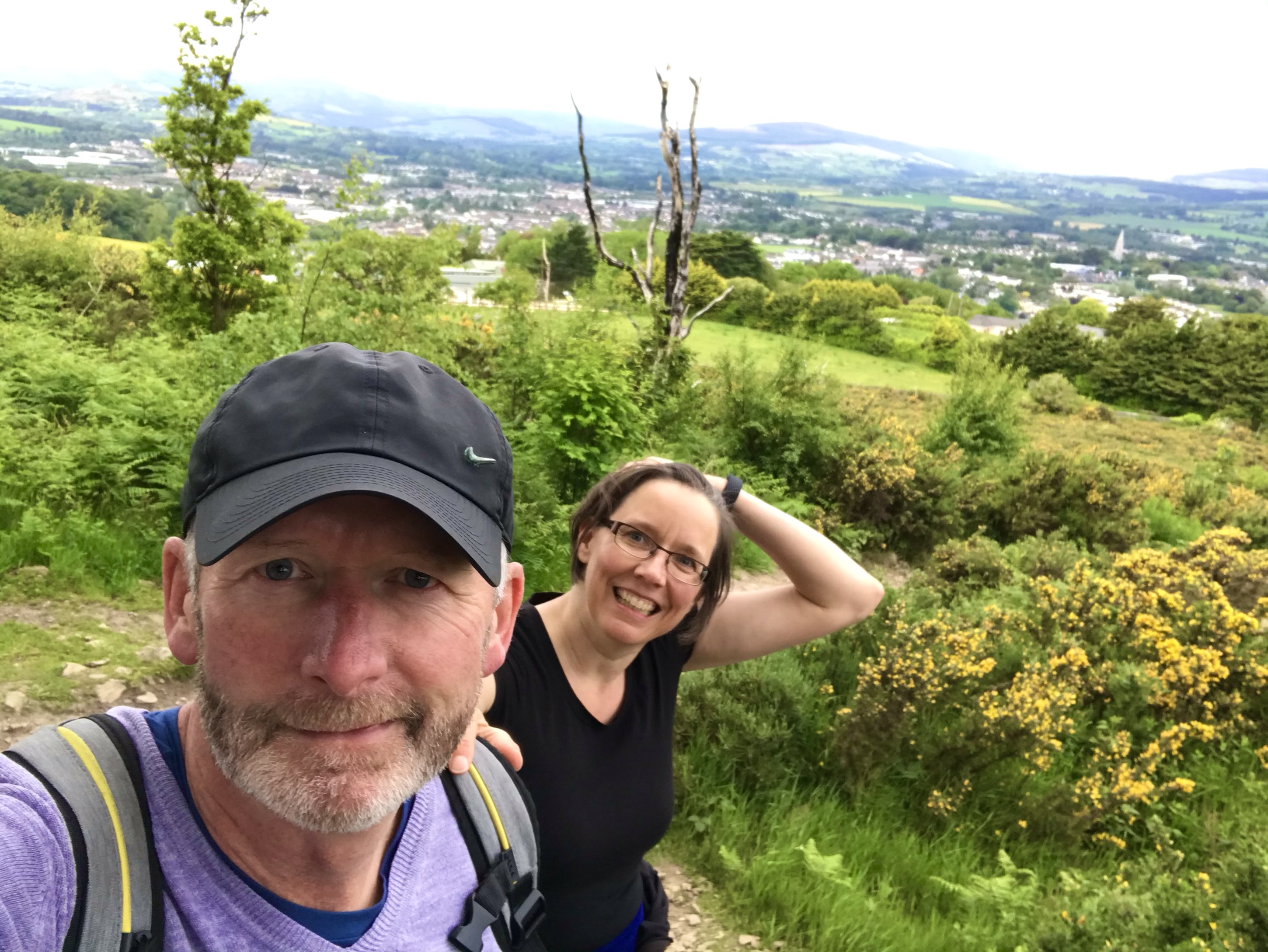
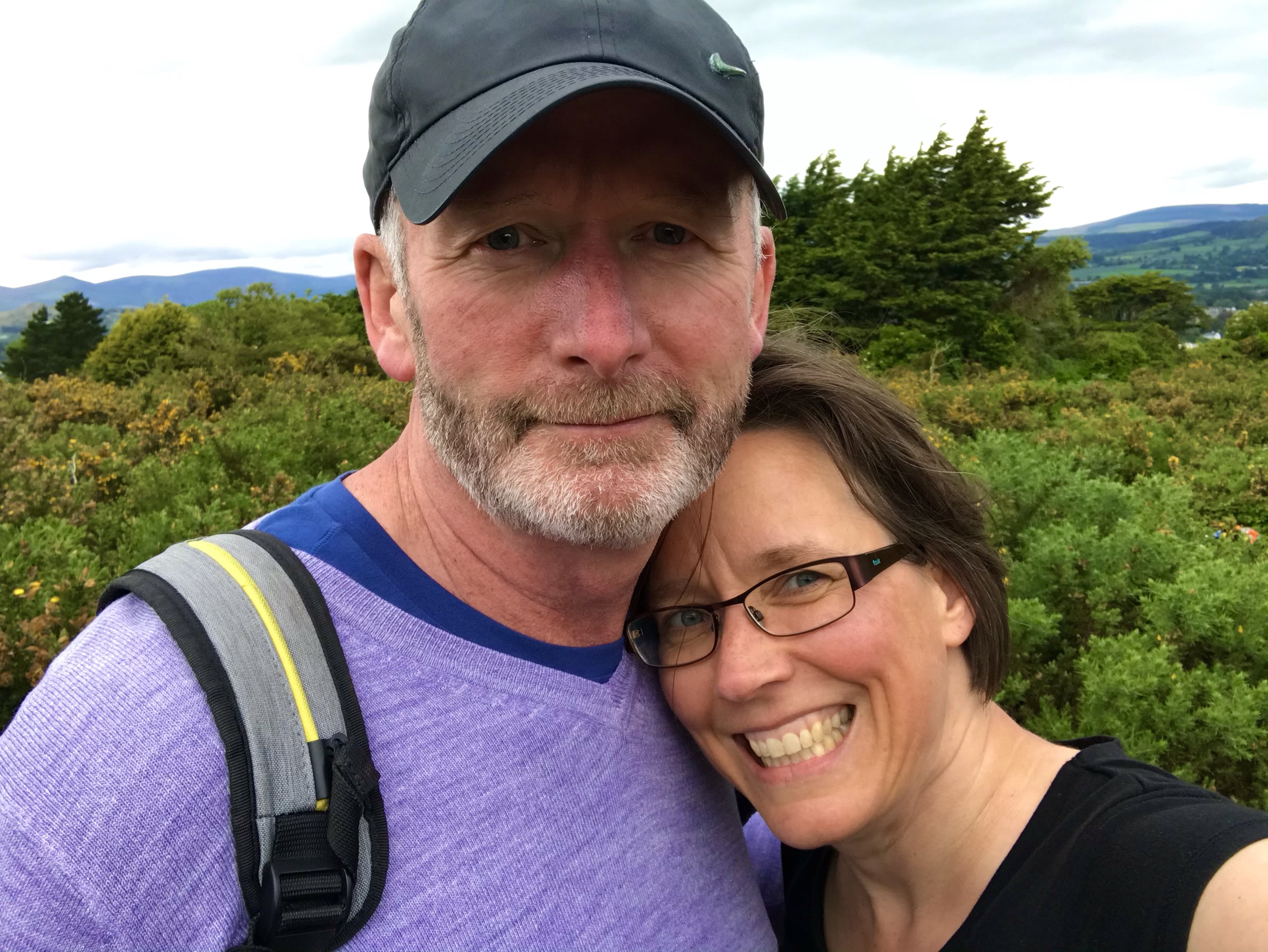
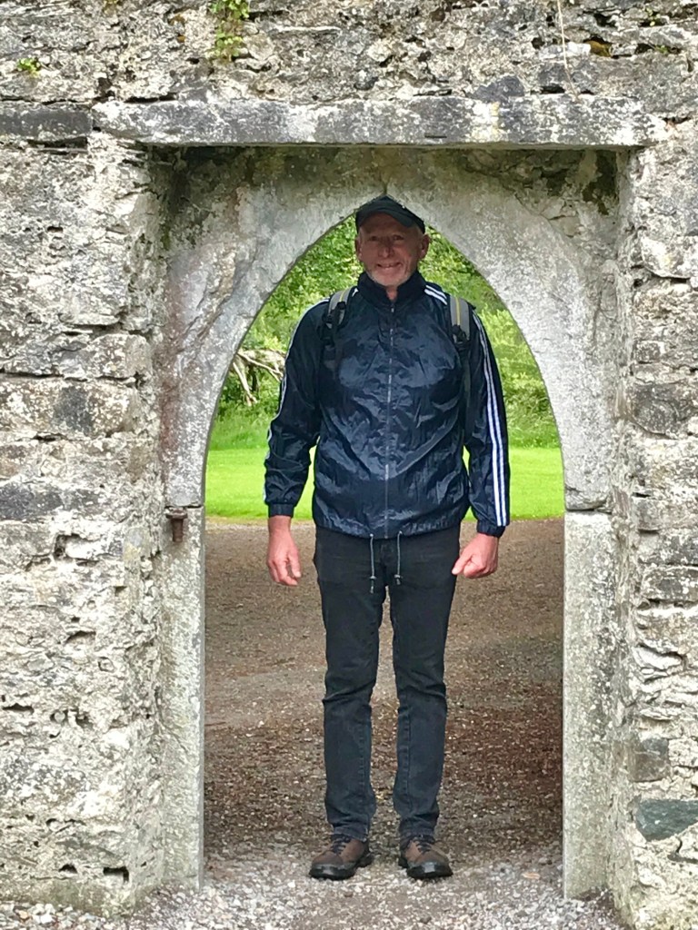
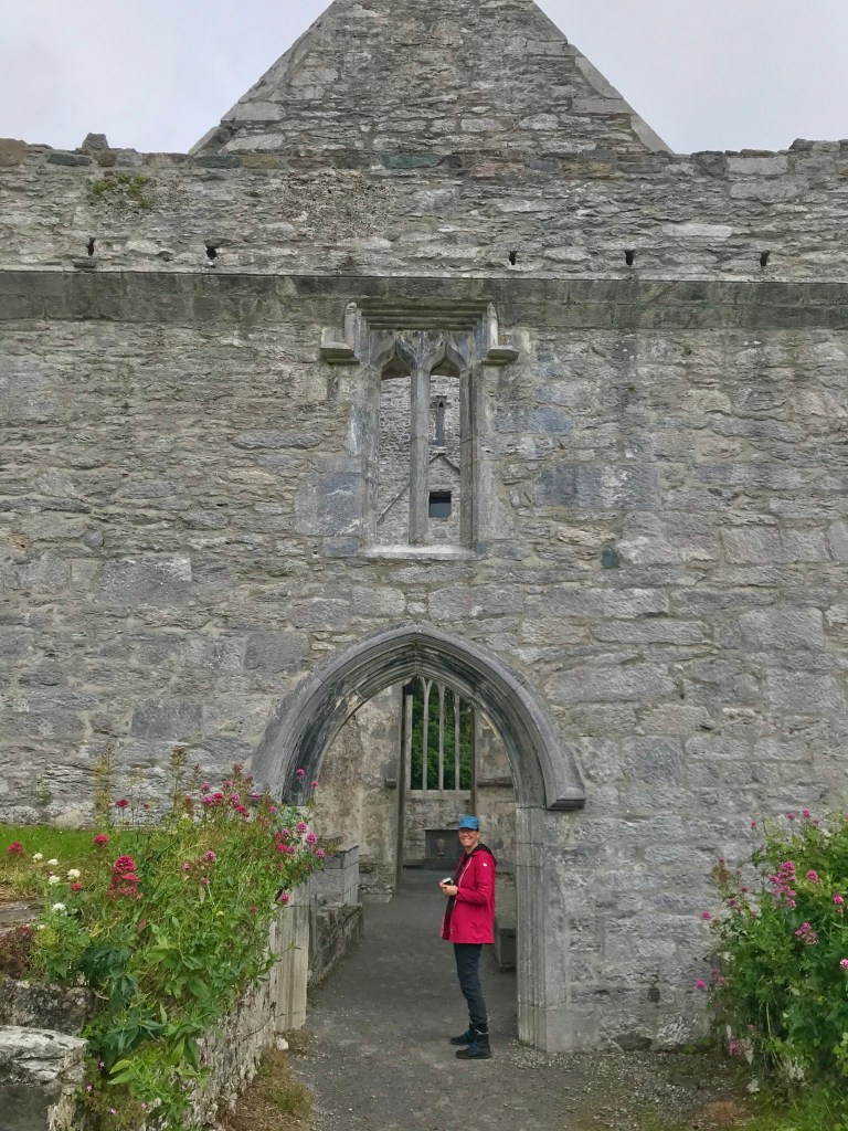
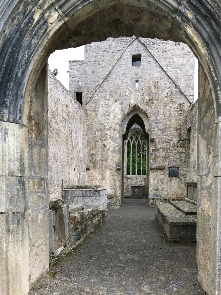
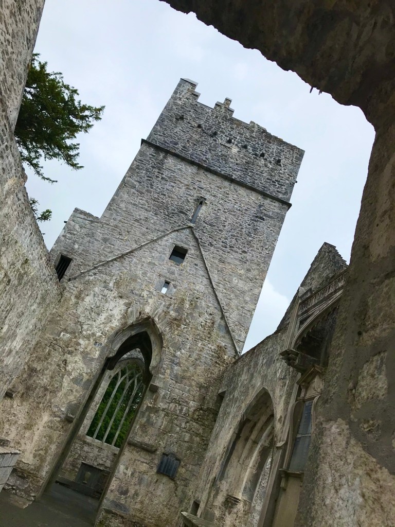
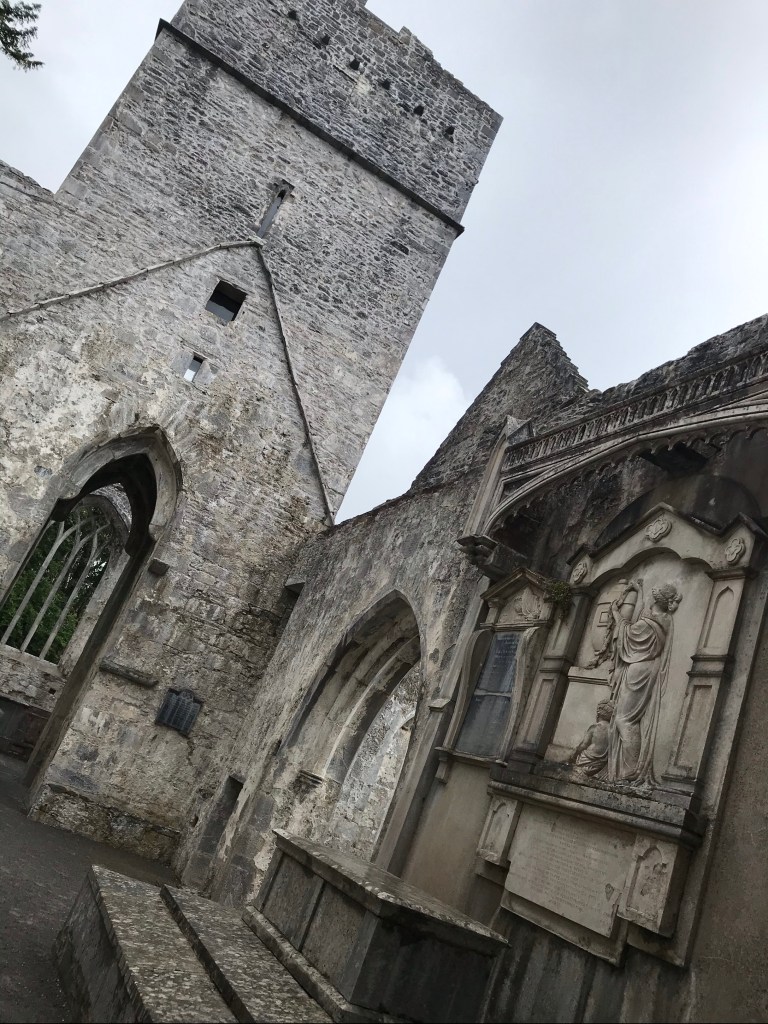
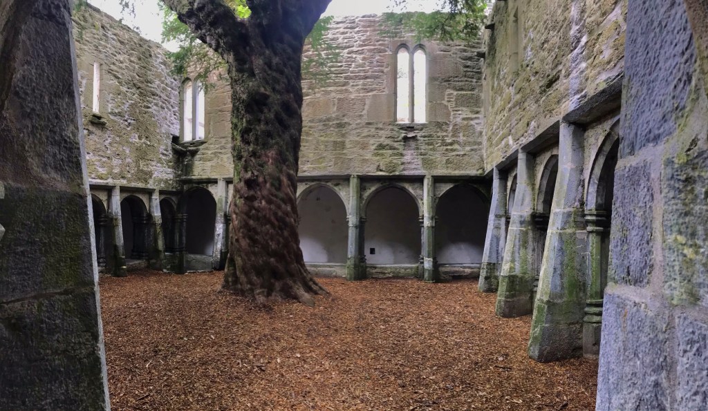
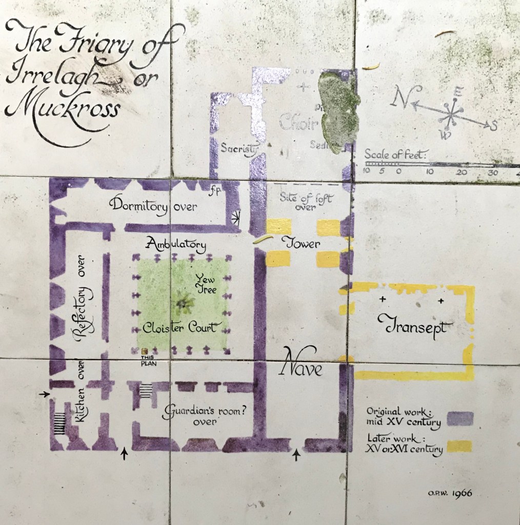
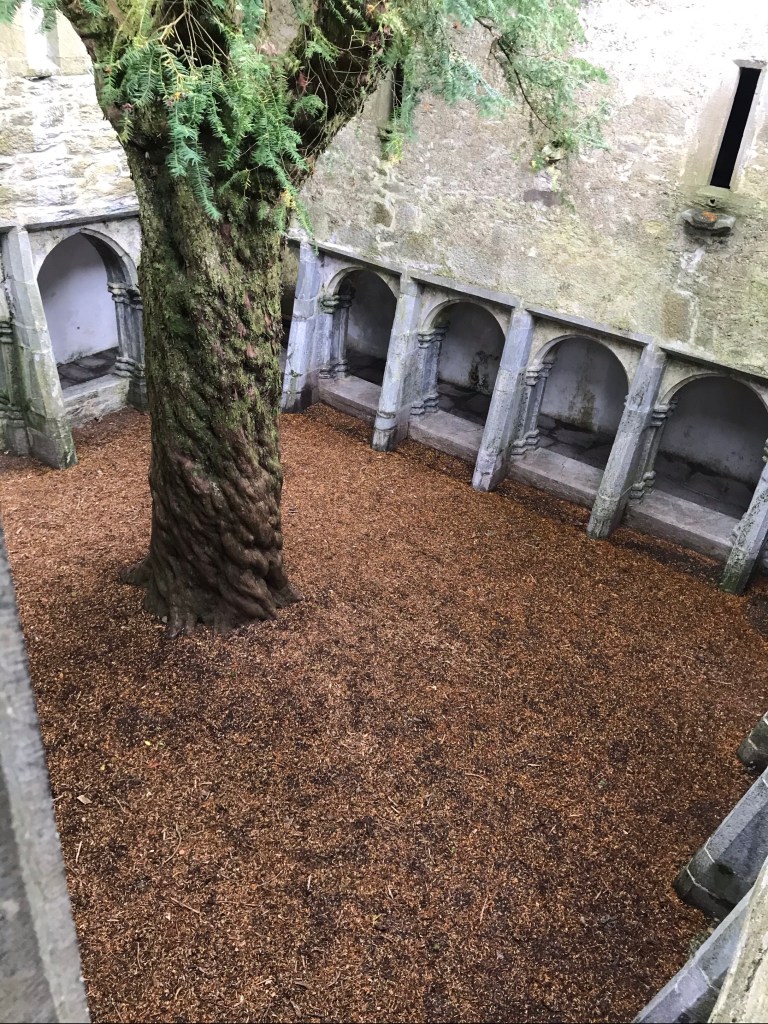
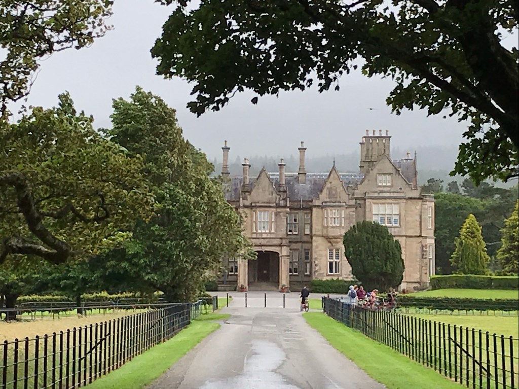
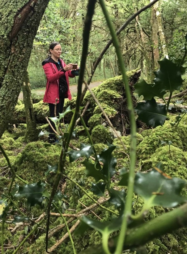
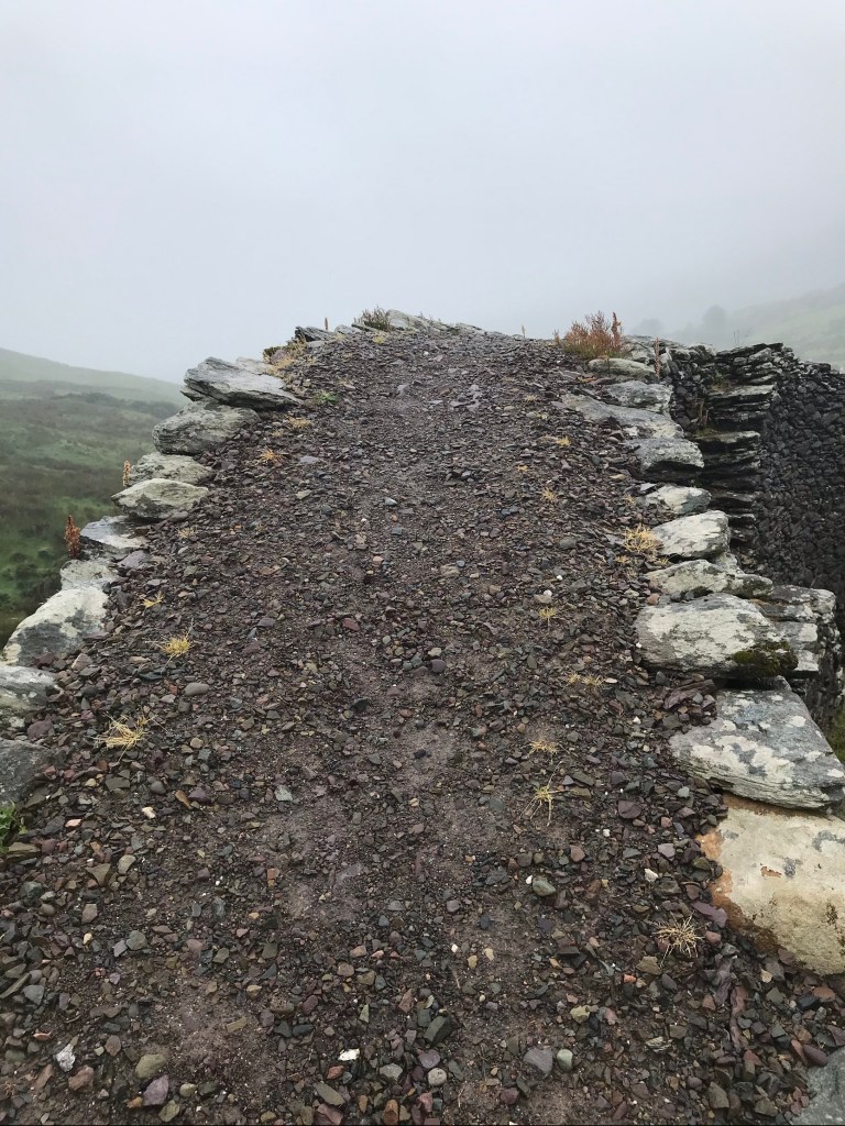
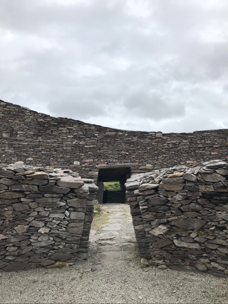
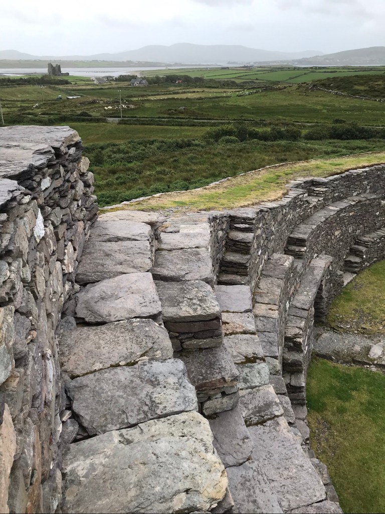
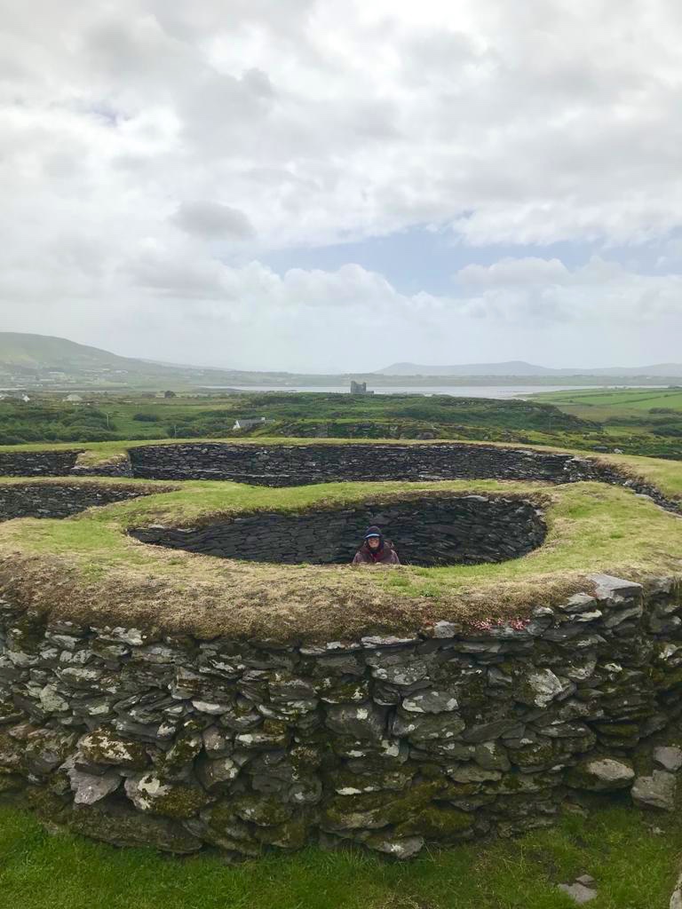
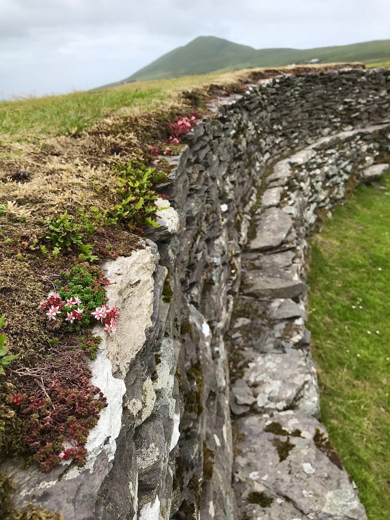
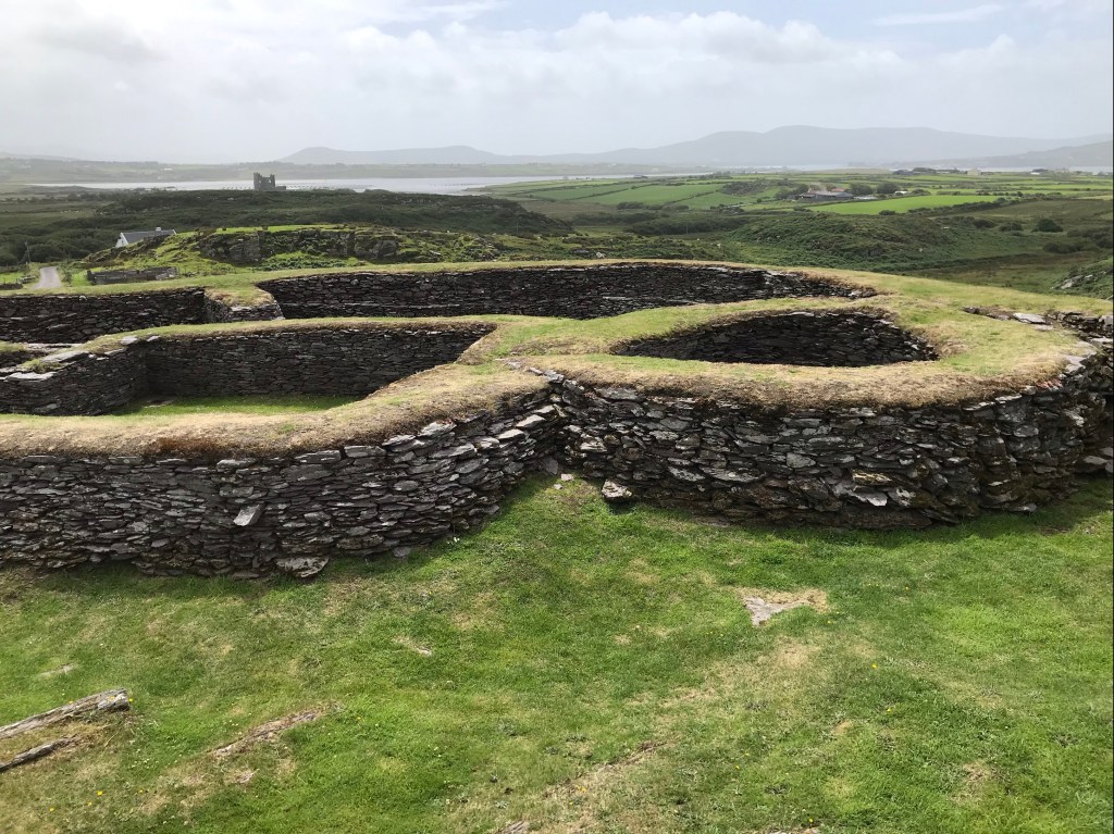
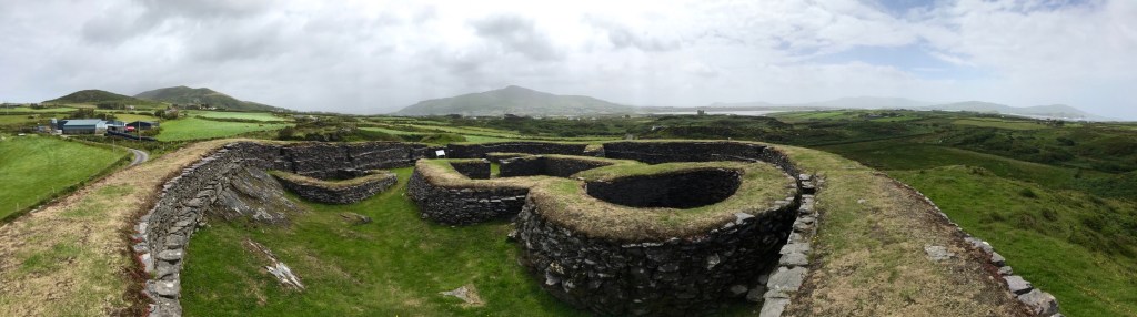
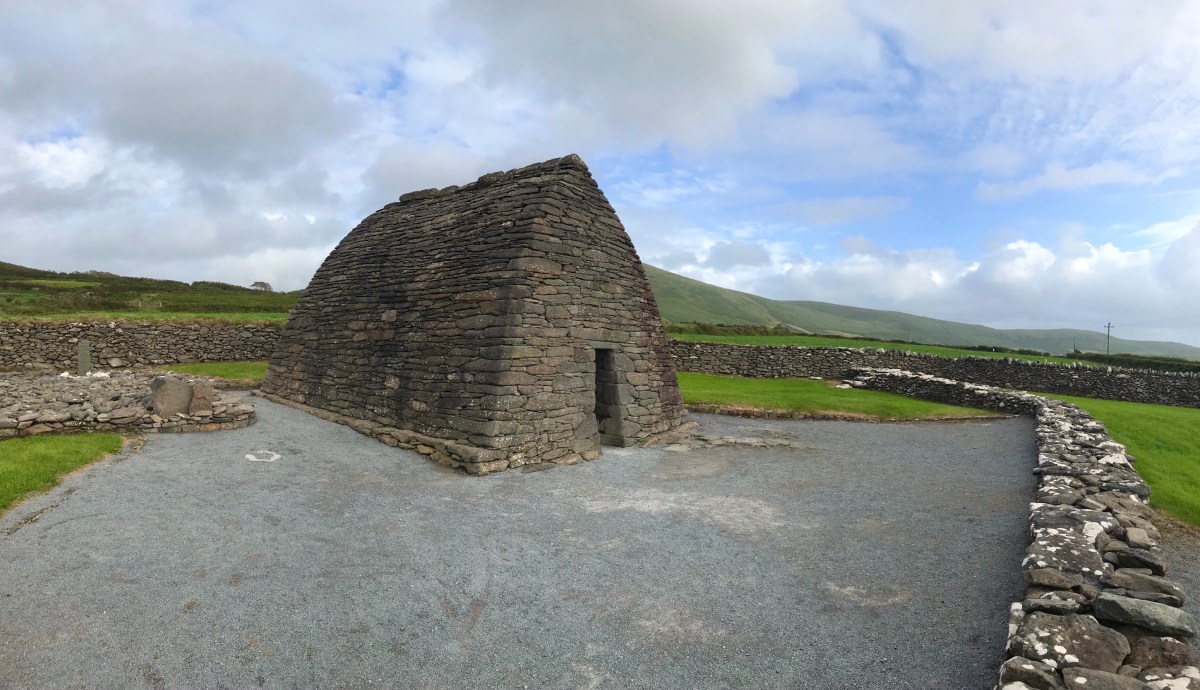
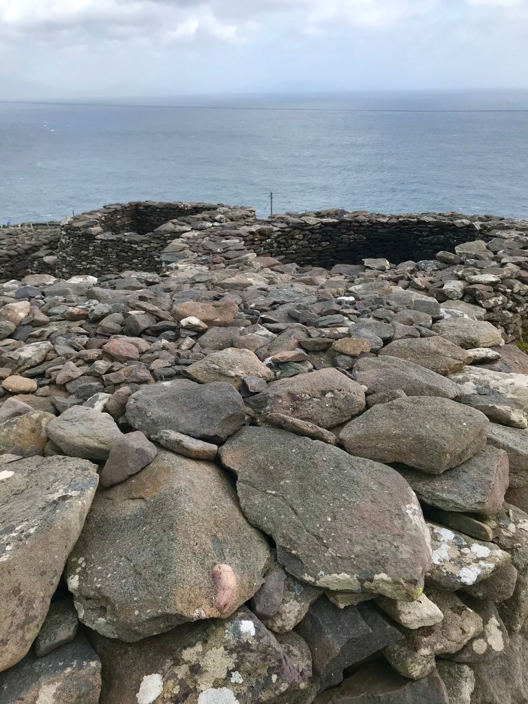
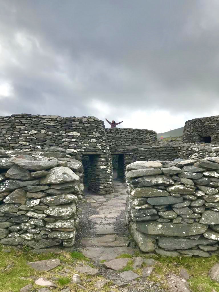
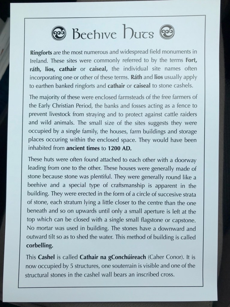
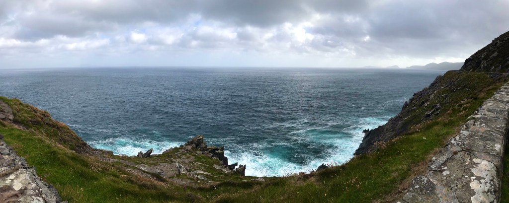
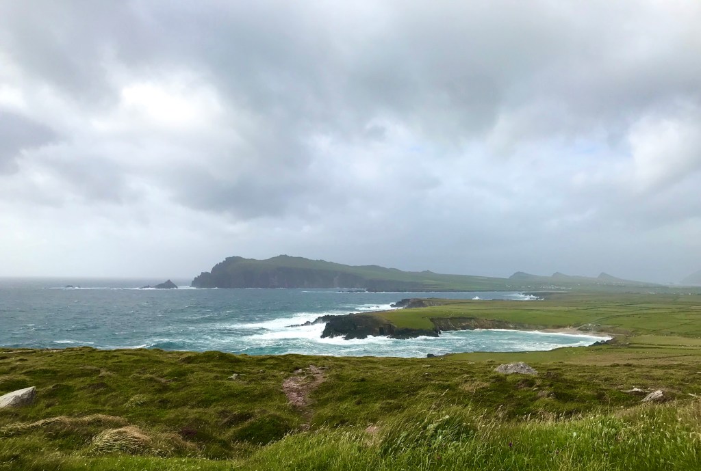
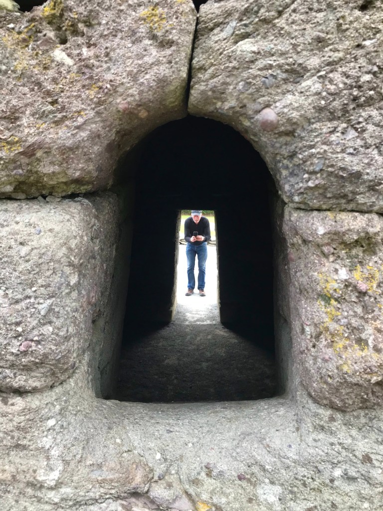
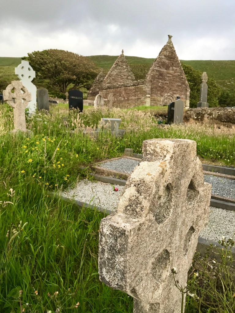
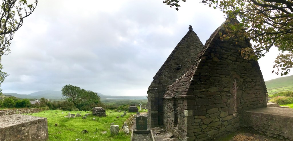
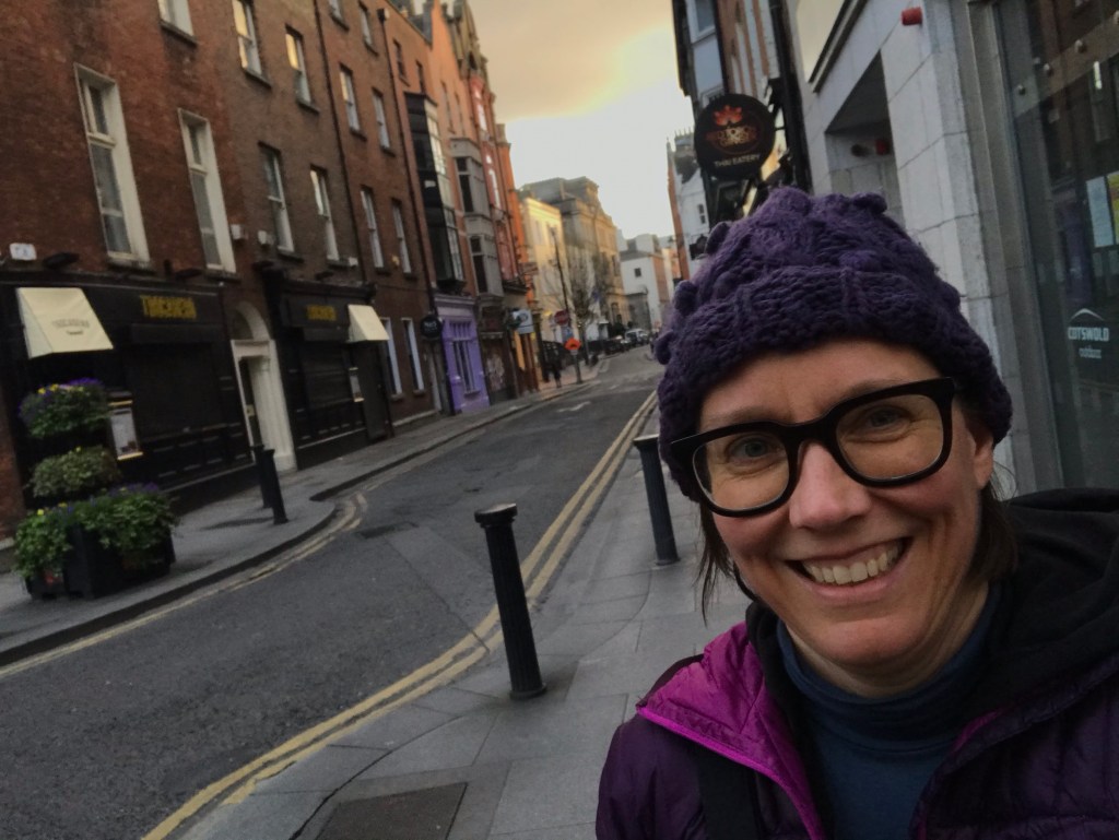
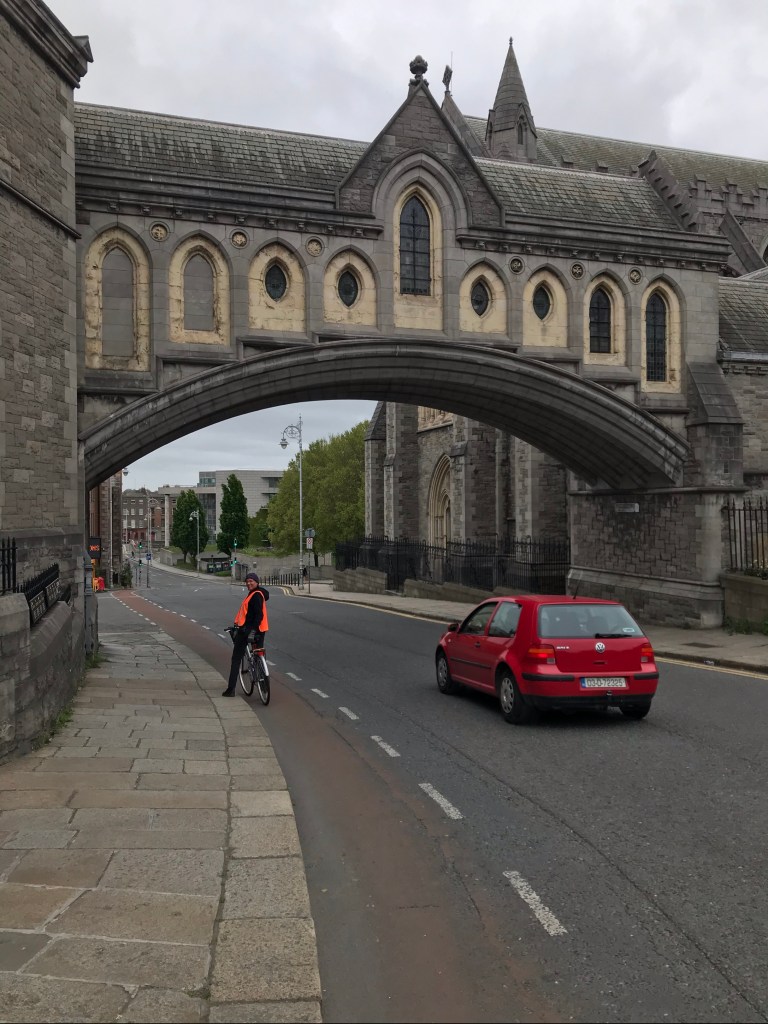
Roland Tormey’s literary walking tour of Dún Laoghaire was a highlight for us all. We took a step back and immersed ourselves in the cultural richness of our surroundings. For many of us, this blend of intellectual and cultural exploration reinforced the broader ethical dimensions of engineering—how our work is always connected to society, history, and place.
Global Voices, Local Impact
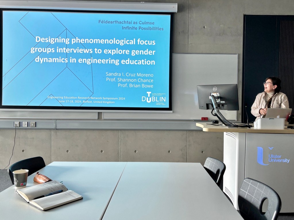
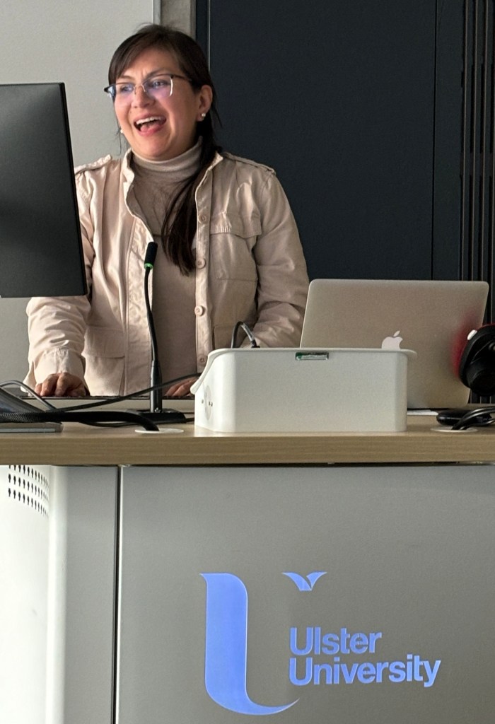
The symposium truly reflected the international nature of engineering ethics education. We had voices from across Europe, North America, Africa, and Asia, with universities ranging from UCL and the University of Michigan to EPFL. At the same time, there was strong local representation, with a third of the attendees based in Ireland—TU Dublin, DCU, ATU, and Engineers Ireland all playing an active role. A special shoutout to my TU Dublin colleagues—Sandra Cruz Moreno, Marek Rebow, Rachel Harding, Mike Murphy, and recent PhD grads Diana Adela Martin and Darren Carthy—whose contributions helped everyone feel welcome.
What’s Next?
The energy and ideas sparked at the symposium will propel us forward onto new collaborations, where we apply what we discussed—via research and teaching and leadership and service—and continue building momentum and sharing what we’re learning with our colleagues back home, and indeed worldwide.
For those who couldn’t join us in person, the Routledge International Handbook of Engineering Ethics Education is freely available in an open-access digital format. Whether you’re new to the field or a long-time educator, it’s a must-read:
🔗 RIHEEE Handbook
TU Dublin also just posted a webpage about the Symposium: https://bit.ly/3QQ74zd
For posterity’s sake, I am adding the symposium schedule as it was conducted:
Monday, March 24
09:00-09:30 Welcome and Icebreaker by host Shannon Chance
09:30-10:30 Handbook panel 1 (Foundations) moderated by Roland Tormey with panellists Mircea Tobosaru, Samia Mahé, and Mihaly Héder
10:30-10:50 Coffee break
10:50-11:30 Keynote on Care Ethics by Mary Nolan
11:30-13:00 Workshop on Care Ethics by Robert Irish, Ana Tebeanu, Sofia Duran, Vivek Ramachandran, Roland Tormey, & Alison Gwynne-Evans
13:00-15:30 Picnic Lunch & Walking tour of Dun Laoghaire led by Roland Tormey
15:30-16:00 Coffee break with snacks
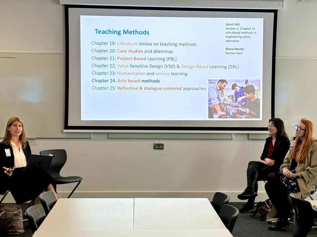
16:00-17:00 Handbook panel 4 (Teaching Methods) moderated by Diana Martin with panellists Valentina Rossi, Aaron Johnson, Magnus Kahrs, and Rachel Harding
17:00-17:30 Wrap-up with synthesising activity
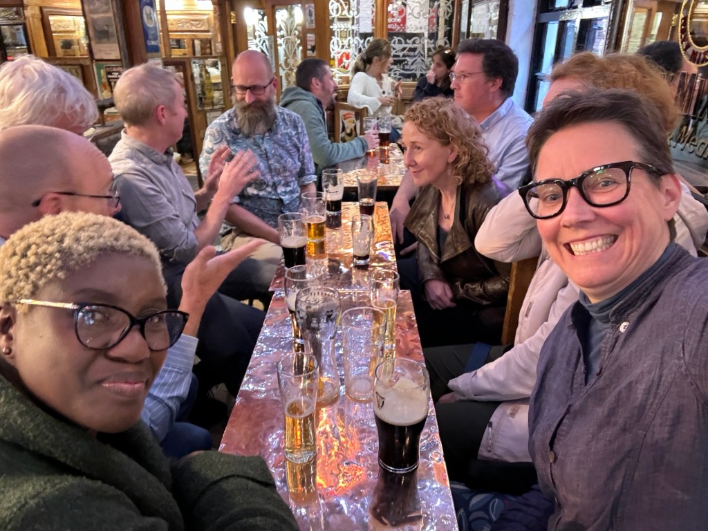
19:00 Dinner outing with colleagues departs from the hotel lobby
Tuesday, March 25
09:00-10:00 Handbook panel 6 (Accreditation) moderated by Shannon Chance with panellists Leah Ridgway, Louise O’Gorman, Alison Gwynne-Evans, and Marek Rebow
10:00-10:40 Keynote on Truth by Paula Tomi
10:40-11:00 Coffee break
11:00-12:15 Workshop on AI experimental philosophy by Krzysztof Sołoducha
12:15-13:00 Ethics SIG session led by Diana Martin and Mircea Tobosaru
13:00-14:00 Lunch
14:00-15:00 Handbook panel 3 (Specific Disciplines) moderated by Tom Børson with panellists Jacob Baneham, Miguel Romá, Mike Murphy, and Rhythima Shinde
15:00-15:20 Coffee break with snacks
15:20-16:40 Workshop on the Archimedean Oath by Valentina Rossi
19:00 Dinner outing with colleagues departs from the hotel lobby
Wednesday, March 26
09:00-10:00 Handbook panel 2 (Interdisciplinary Perspectives) moderated by Roland Tormey with panelists Sandra Cruz Moreno, Ronny Kjelsberg, Gaston Meskens, and Katherine Looby, with input from Riadh Habash
10:00-11:15 Workshop on Quantitative Methods & Ethics by Matheus de Andrade and Idalis Villanueva Alarcón
11:15-11:30 Coffee break
11:30-12:15 Keynote by Tom Børsen on “Techno-Anthropology and Engineering Ethics Education”
12:15-13:15 Ethics SIG session led by Diana Martin and Mircea Tobosaru
13:15-15:00 Lunch and physical activity
15:00-16:00 Handbook panel 5 (Assessment) moderated by Tom Børsen with panellists Takehara Shinya, Celina Leão, Ana Voichita Tebeanu, and Mary Nolan
16:00-16:20 Coffee break with snacks
16:20-17:30 Ethics SIG synthesis session led by Diana Martin and Mircea Tobosaru
19:00 Dinner outing with colleagues departs from the hotel lobby