Cycling Killarney National Park in Kerry, Ireland

Aongus and I held a vote the other night. Our best day since moving back to Ireland from London? We unanimously agreed:

Our day cycling in Killarney National Park.

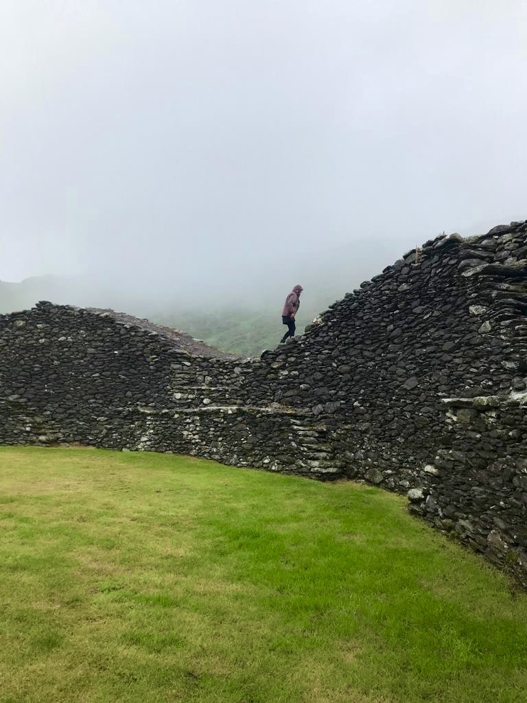
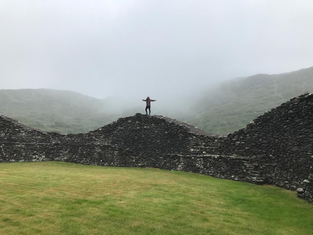
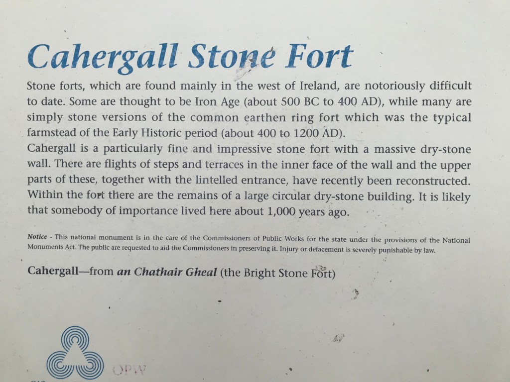
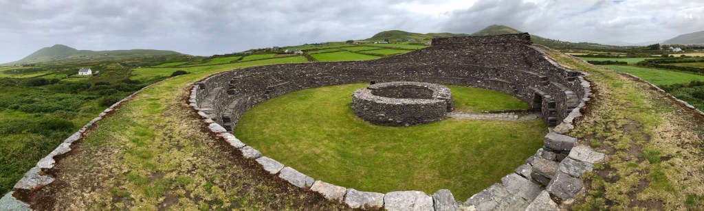
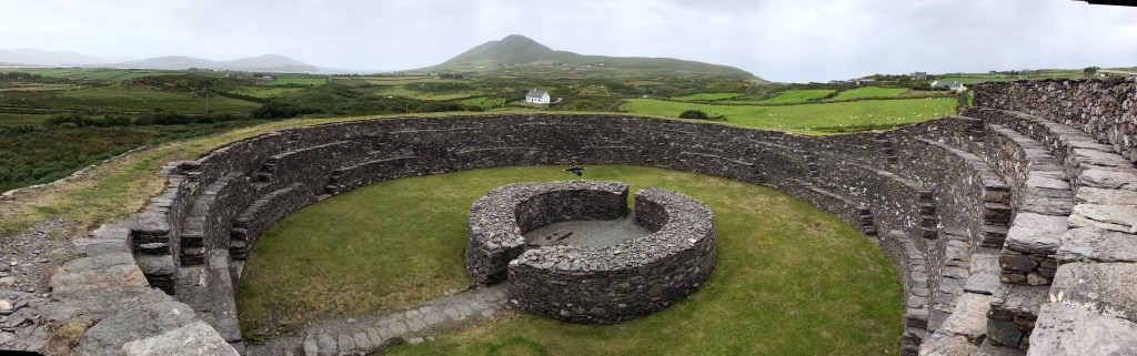
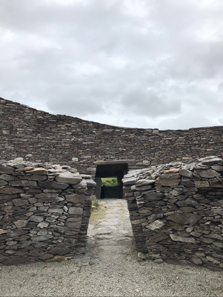
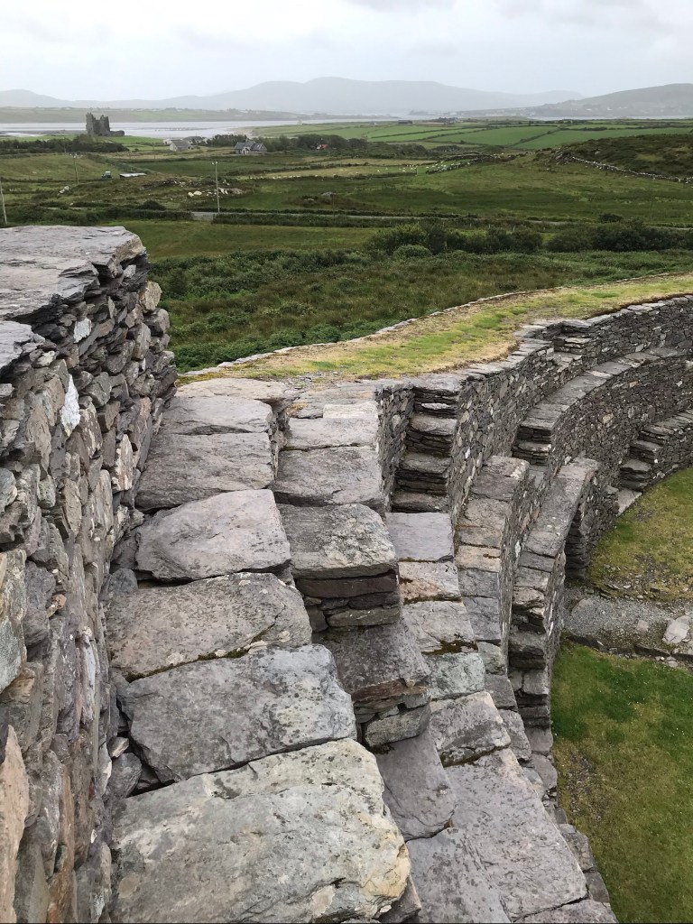
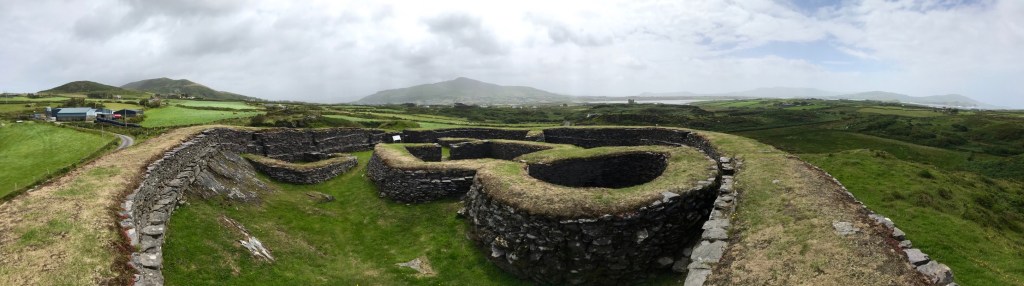
This was one of four days we spent in County Kerry, and the 20 or so hours we spent in Dingle ranked a close second (see prior blog posts on Dingle, Slea Head, and stone forts along the Ring of Kerry).

Awakening from Lockdown

When the Irish government said “Lockdown is lifted–go forth and spend your money on domestic tourism”, we readily agreed! “Let’s head for Kerry,” I exclaimed. “It will be a treat to see Killarney when it’s not full of tourists!”

Indeed, Killarney, its National Park, and its famous Muckross House are typically packed to the gills with Americans.

We arrived safely after a 3.5 hour drive from our home in Dublin. As this was right at the end of lockdown #1, we had not yet been able to buy a bike rack for our car.

Arriving in Killarney, we found many people who were delighted to welcome tourists. Those in the hospitality industry have really suffered, financially, during lockdown. Nonetheless, we found one hotelier who was terrified of my accent. “No, I’m not straight off a plane,” I reassured her. “Dublin is my home.”
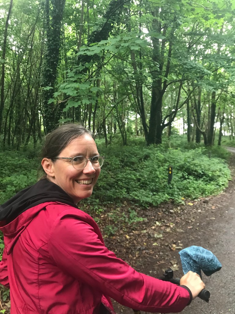
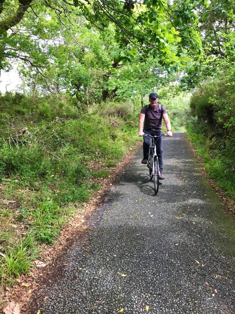
Hiring bikes

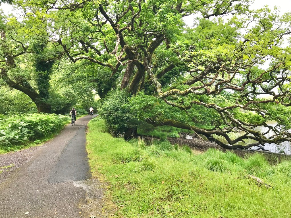
After a fair night’s sleep and breakfast in a nearly vacant cafe, we rented bikes in Killarney town and headed for some scenic routes.
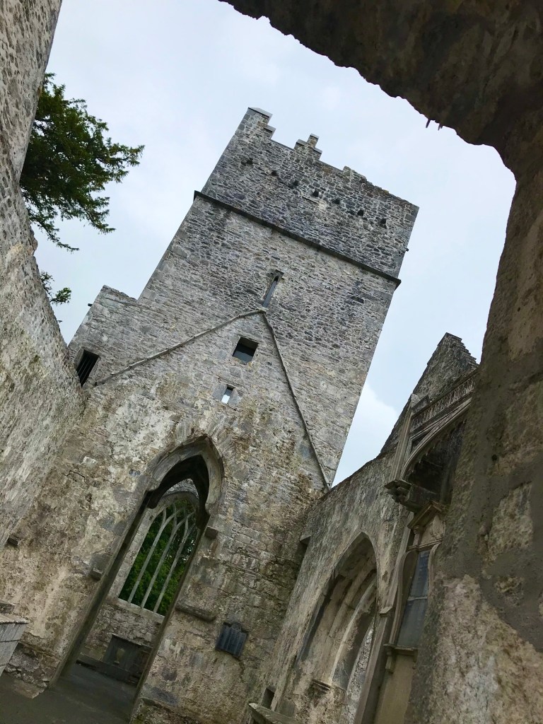
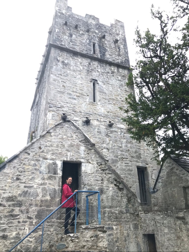
Muckross Abbey

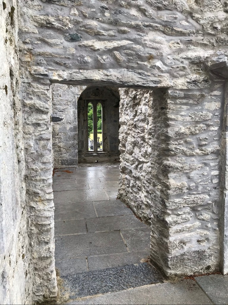
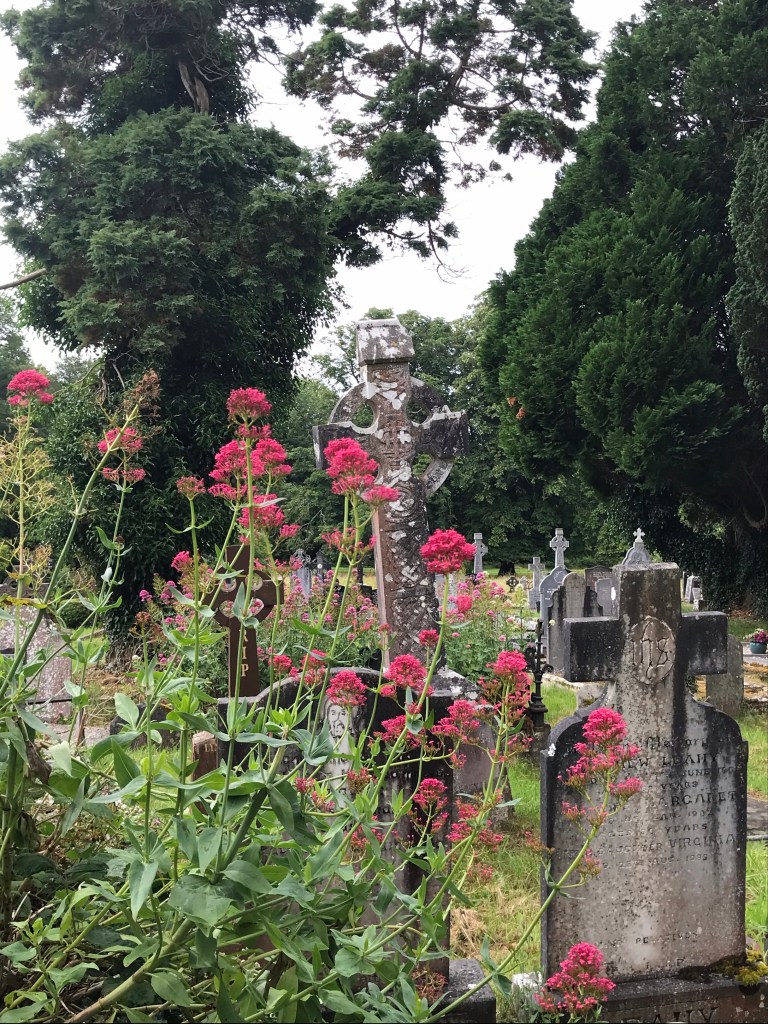
Our first stop of the day was Muckross Abbey, a place I’d never visited before. The stone abbey is absolutely spectacular. It is surrounded by a cemetery, woods, and fields.

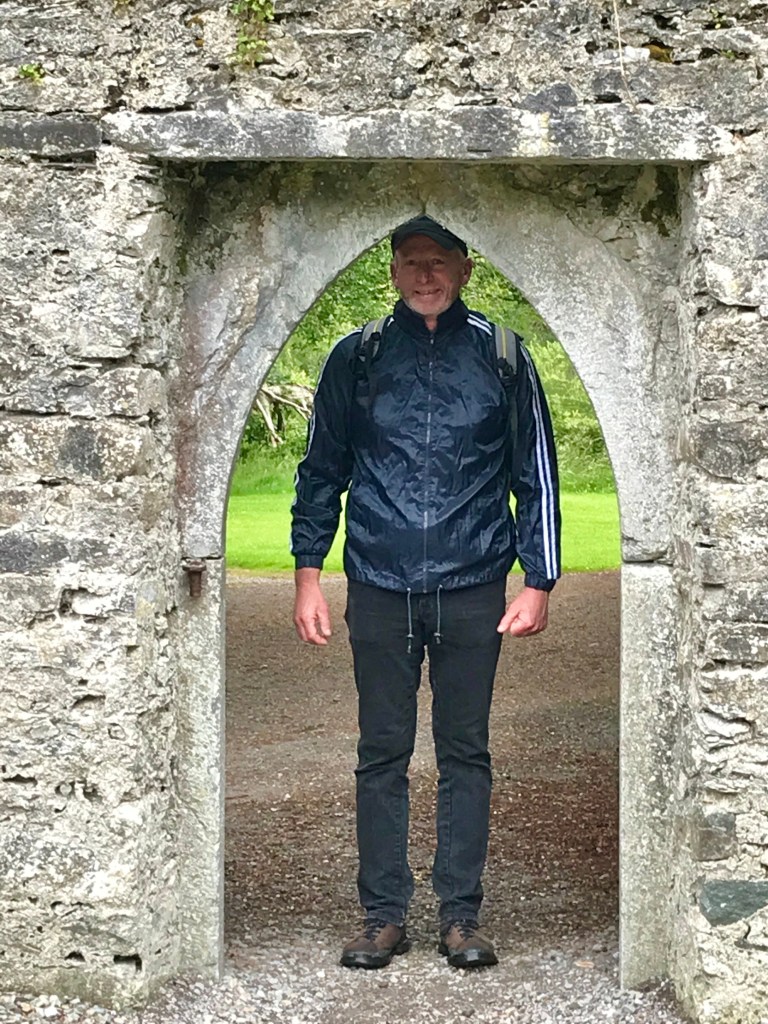
We spent a good hour exploring the Abbey’s multi-story ruins.

Muckross Abbey offers magnificent views at every turn.

Sweeping panoramas abound.

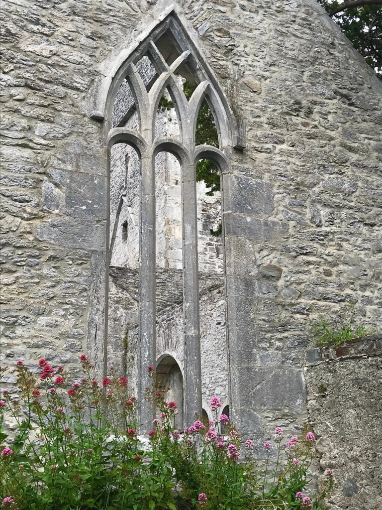
And there are some beautifully preserved details, like this stone relief.

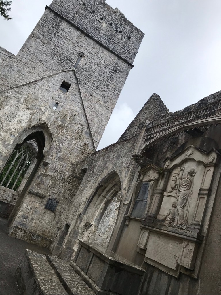
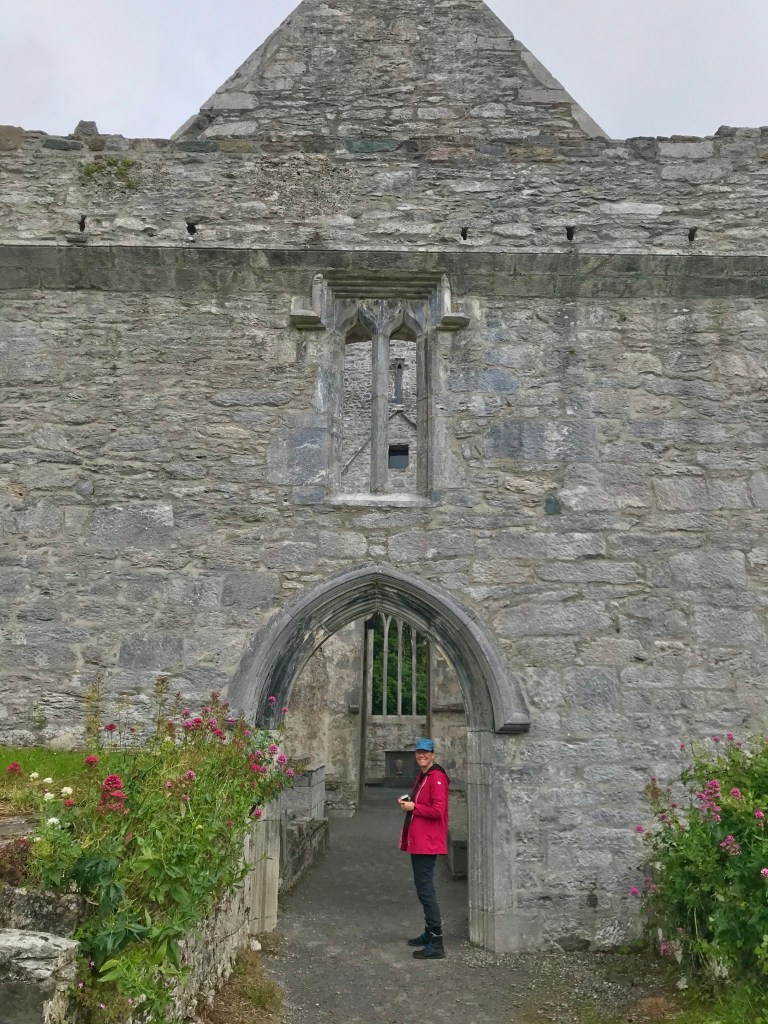
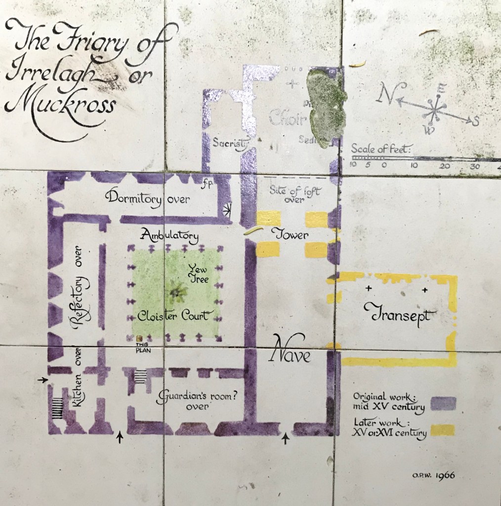
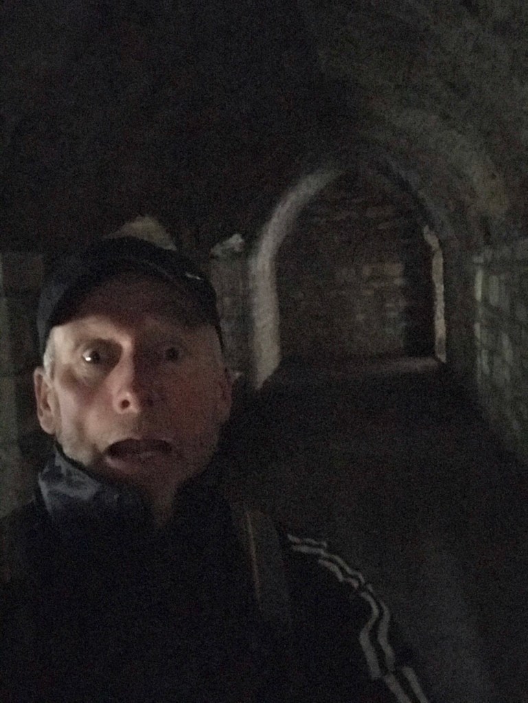
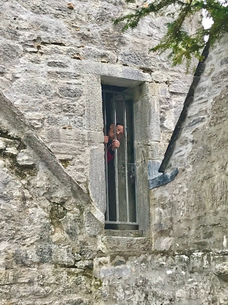
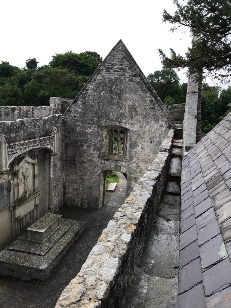
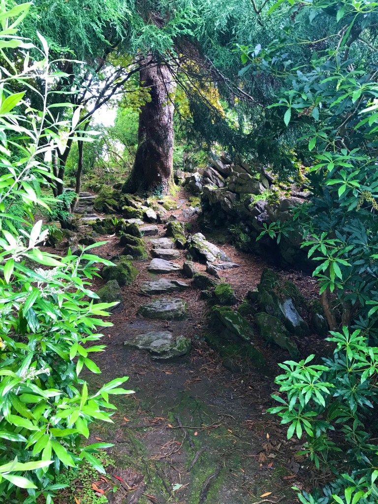
To the side of the worship space is housing for the monks. The plan is straightforward enough, but when exploring it you’ll experience a maze of rooms, passages, and stairs. Delights are tucked away. They reveal themselves, to the persistent traveller, piece by piece. Most rooms are well lit, but Aongus found a dark and spooky one (photo below).

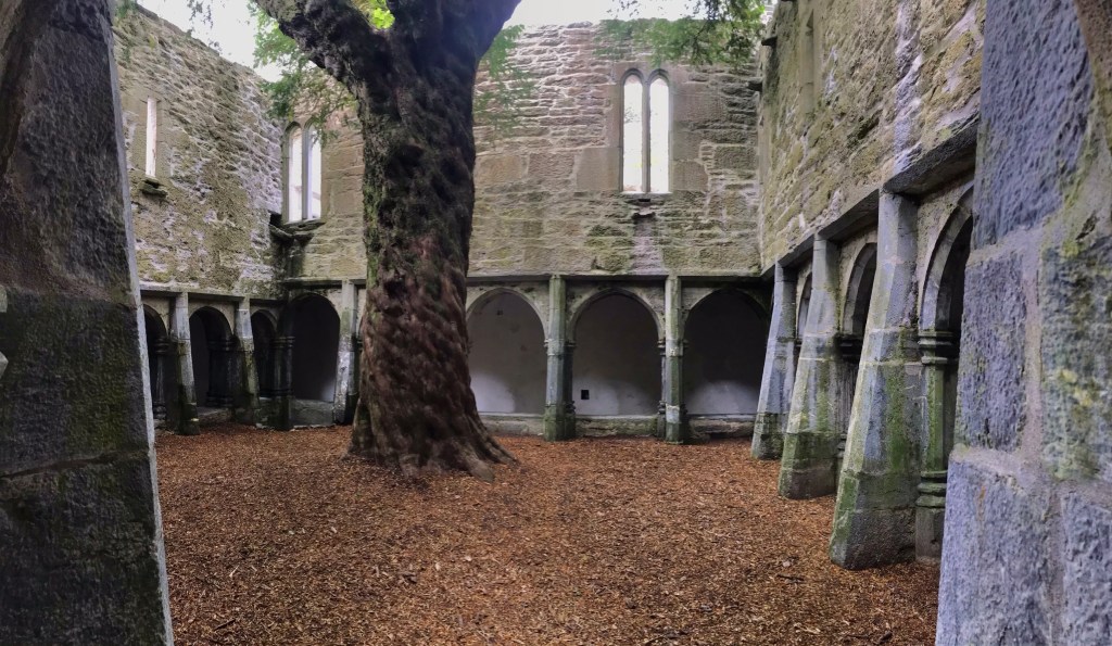
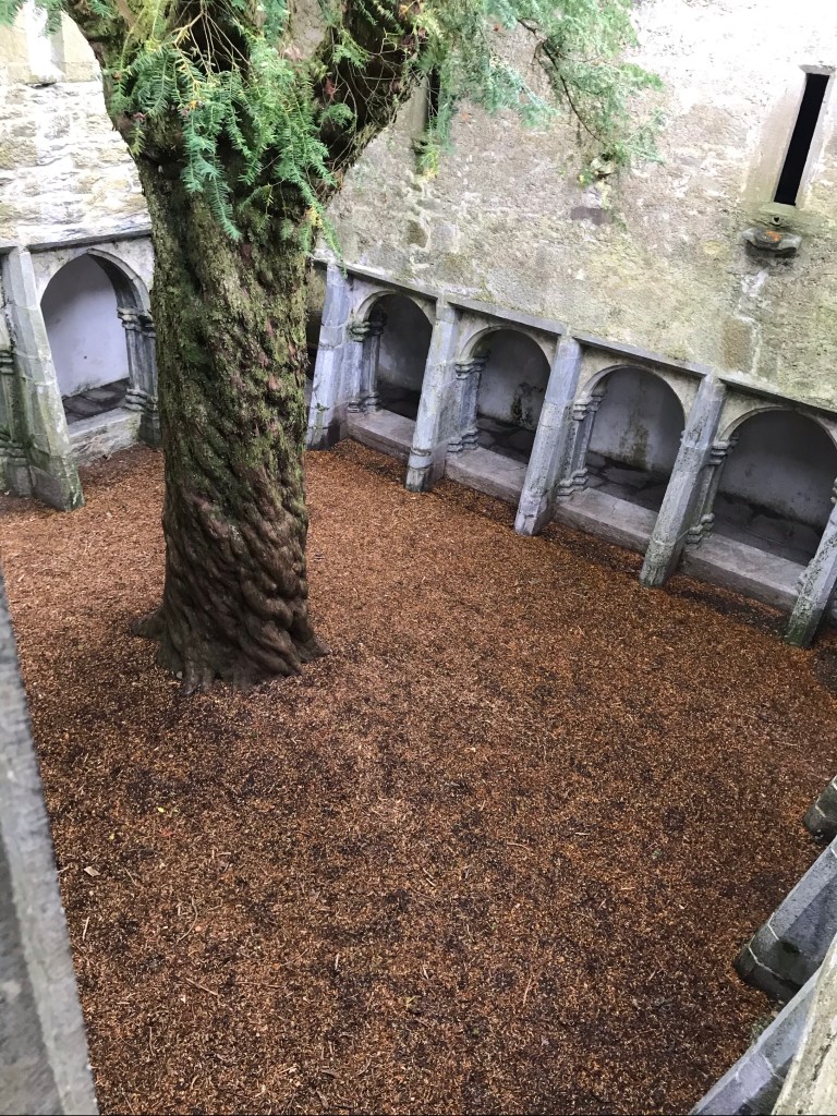
The highlight for me was the central cloister with its ancient Yew tree. Such incredible majesty, reaching up to the Heavens!

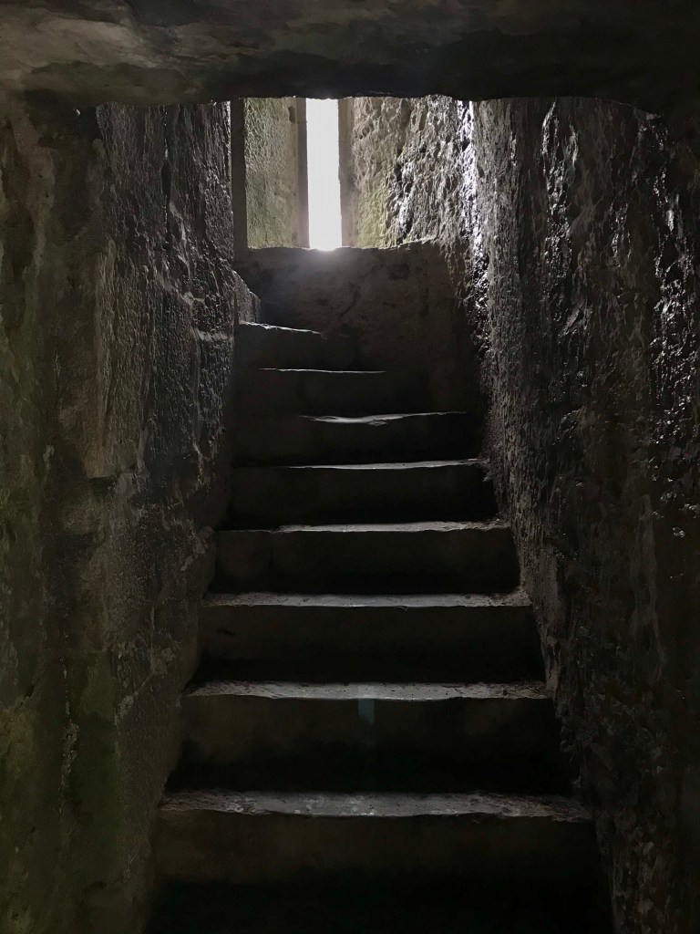
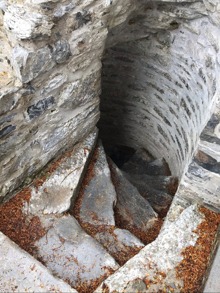
We discovered spiraling stairs to the upper floor…

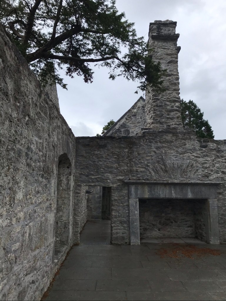
…where I got so mesmerized looking around that I whacked my head on the lintel of a low doorway! I think I was gazing up at the chimney (shown below) when that happened.

I recovered, though, and discovered the Monks’ sleeping quarters. At the end of the room, we found even more stairs. These went up to the main tower.

The inside of the tower was architecturally spectacular.

In spaces like these, the iPhone’s panorama feature provides loads of fun.

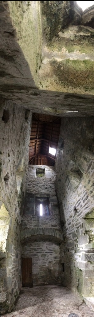
We had a great time exploring each nook and cranny.

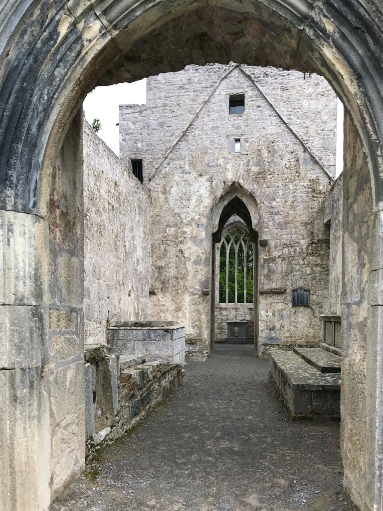
Here’s a view looking back down toward the main entry of the worship space, and the relief we saw earlier.

Here I am walking the lane back to the Abbey’s carriage parking area, where we had left our bikes.

When you visit, if you are not on bikes, consider taking a carriage ride out the Abbey.

On this tourist-free day, the horses had little work to do.

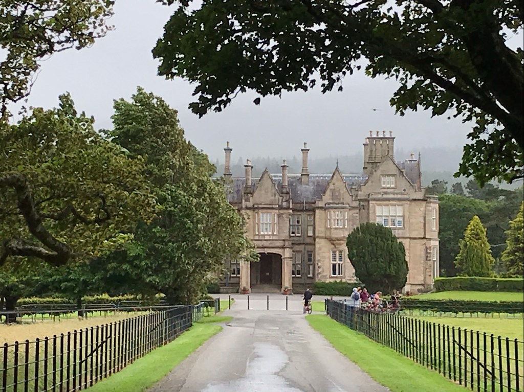
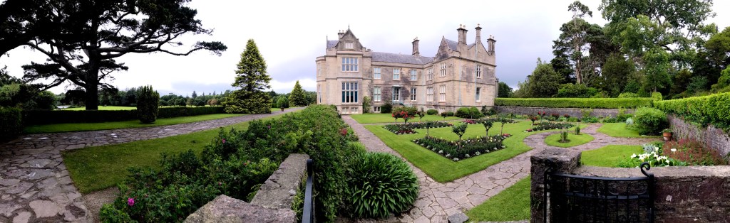
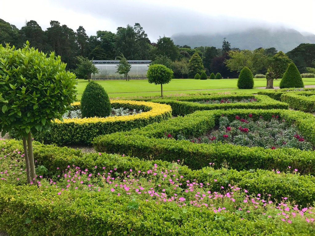
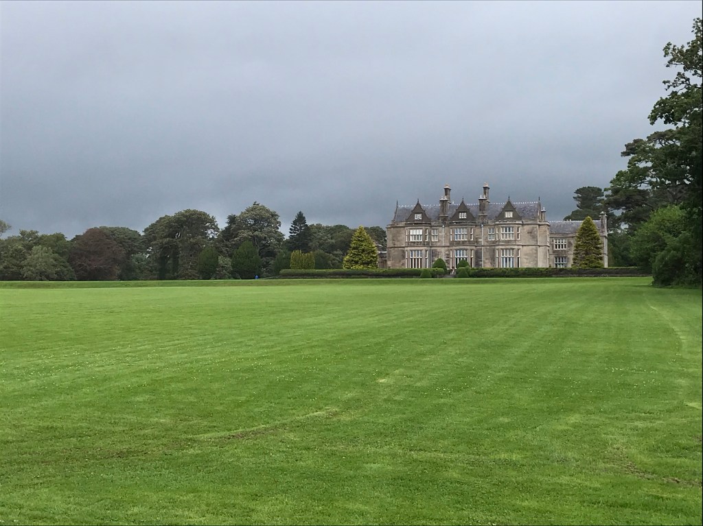
Muckross House & Gardens

Muckross House itself was closed, though the gardens and cafe were just opening back up from hibernation.

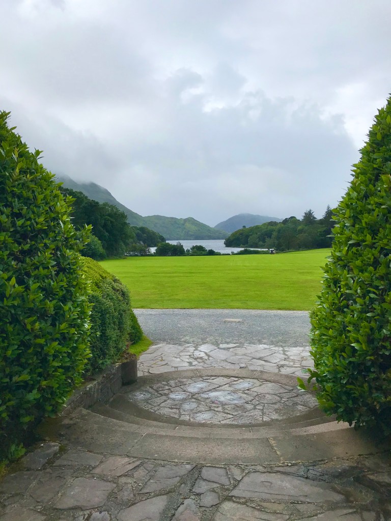
Approaching the house by bike we enjoyed this view:

The surrounding landscape was carefully crafted and meticulously cultivated.

The picturesque view out from the front terrace of the house nearly takes your breath away.

The whole place is a masterful work of art.

Here’s a Yew tree in the garden:

Leaving the house, we headed out toward the National Park’s stand of ancient Yew trees.
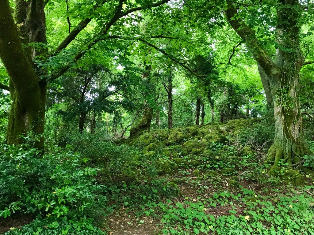
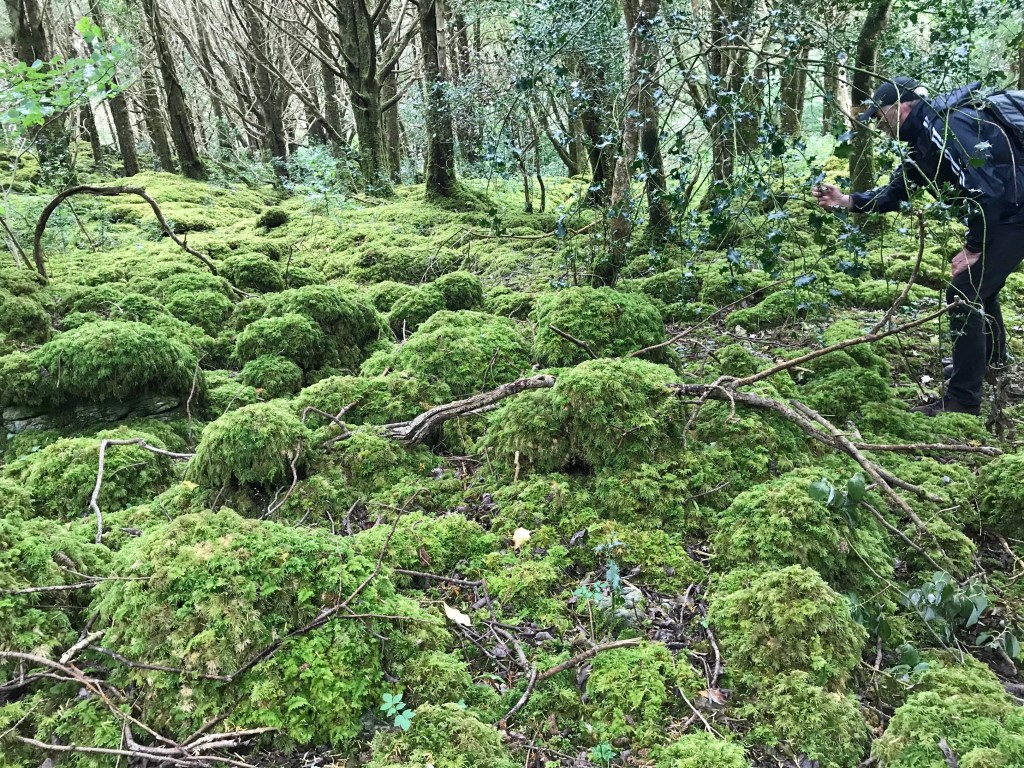
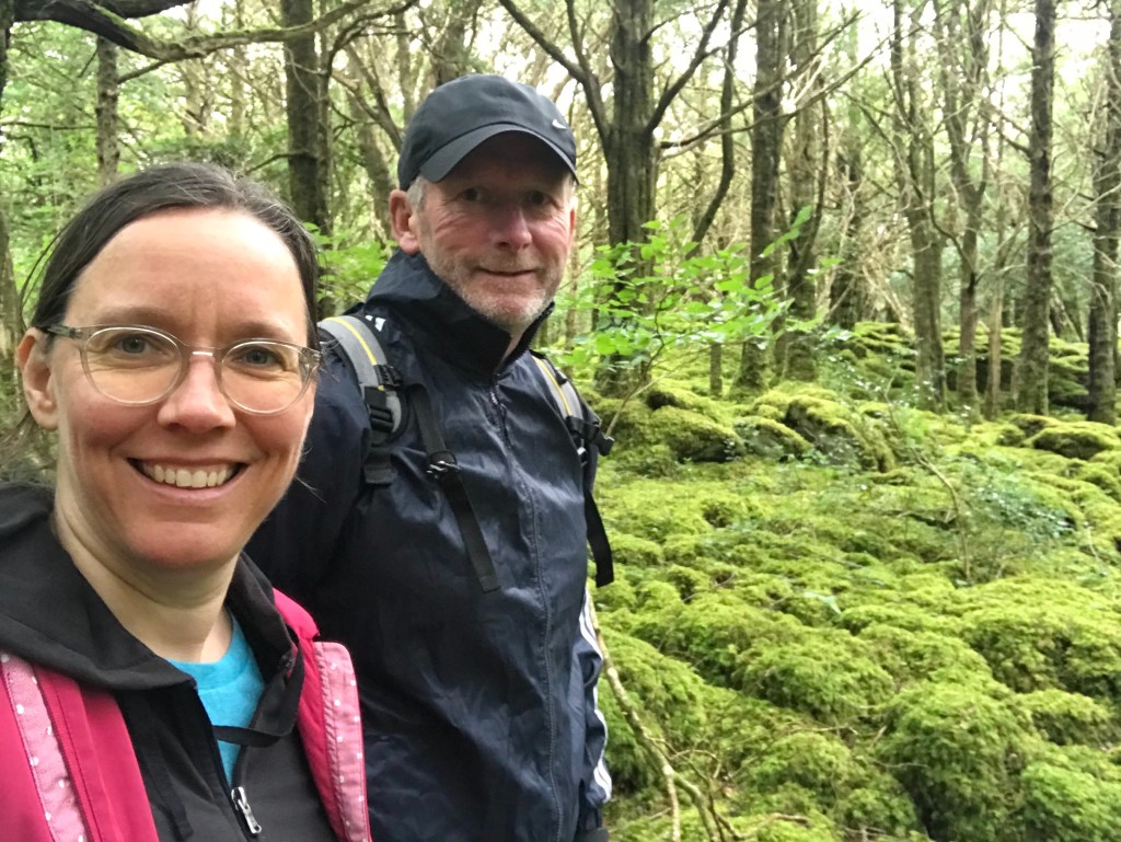
Ancient Forest

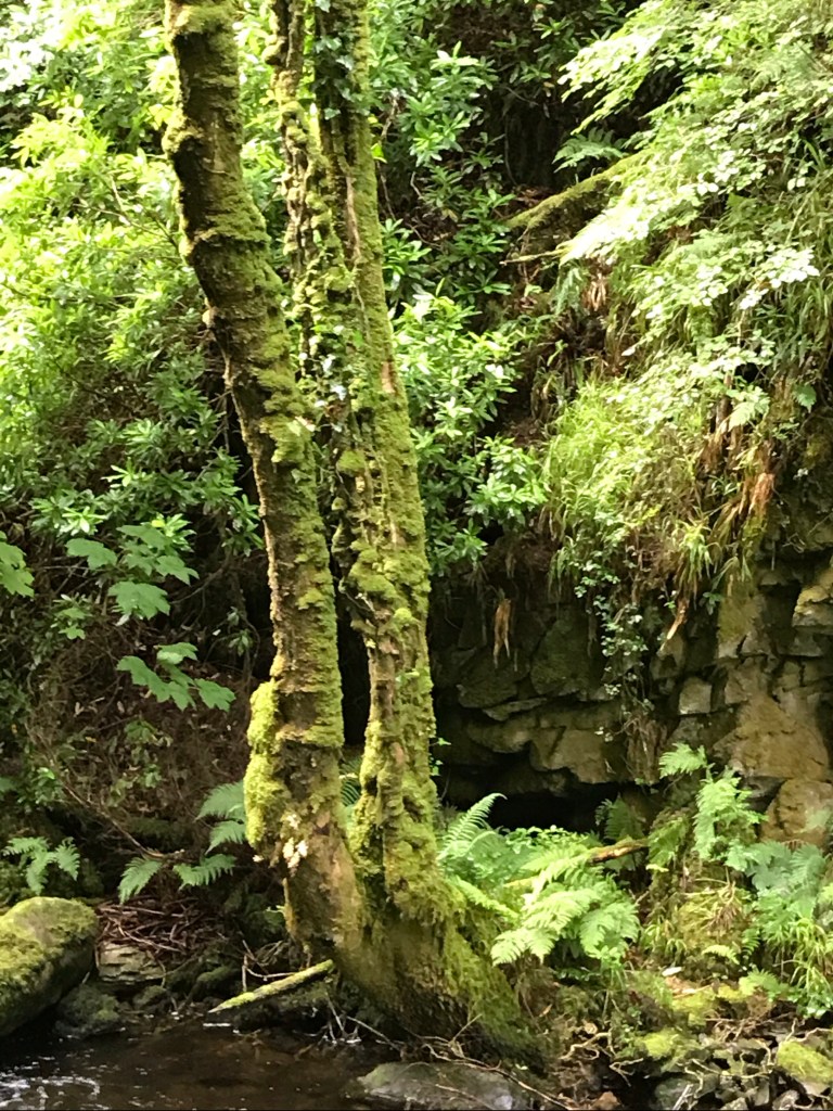
This ancient forest of Yews is simply unforgetable. So lush. Covered in mounds of plush green moss.

It’s hard to do justice to this dramatic landscape.

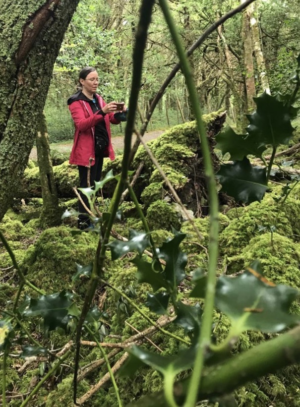
But suffice to say, I felt like a Hobitt!

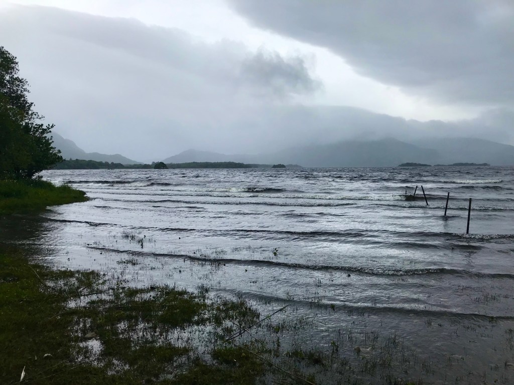
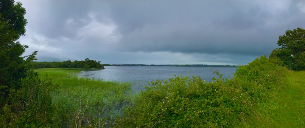
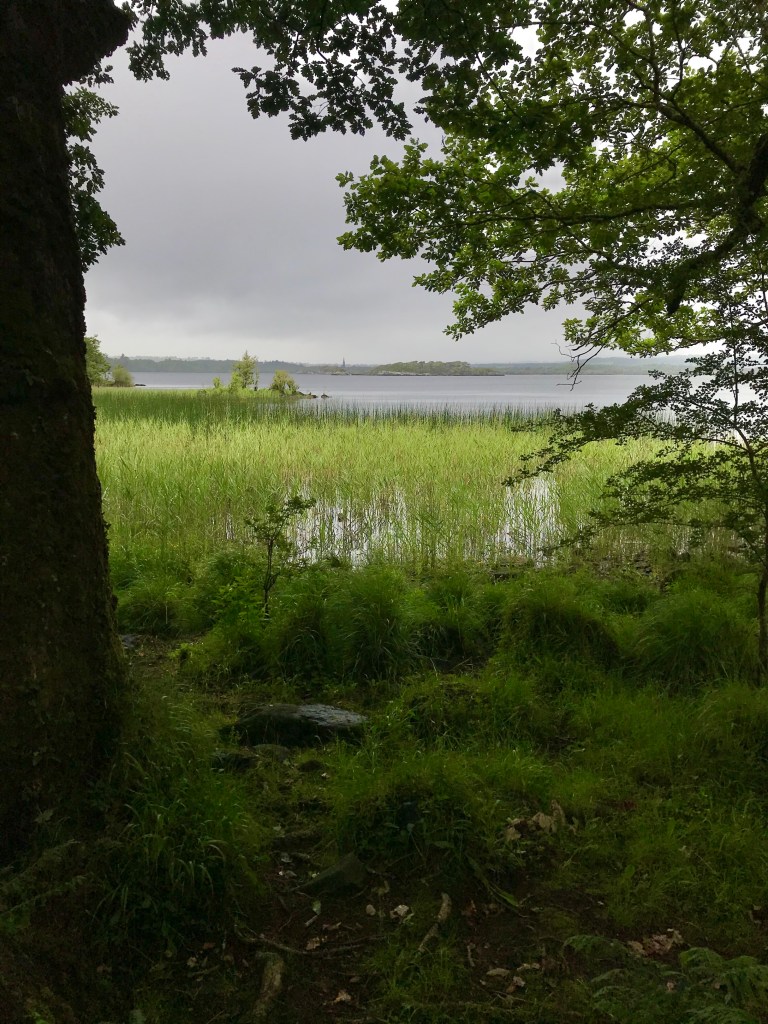
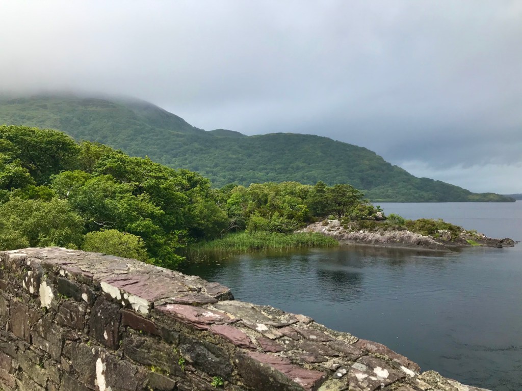
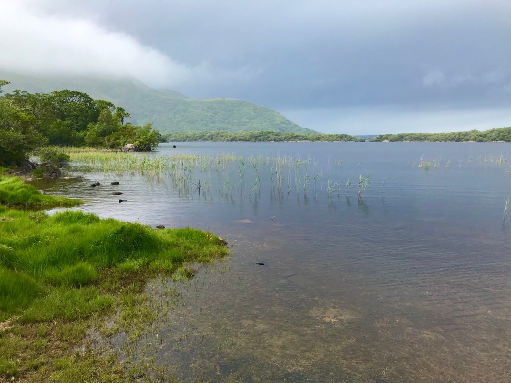
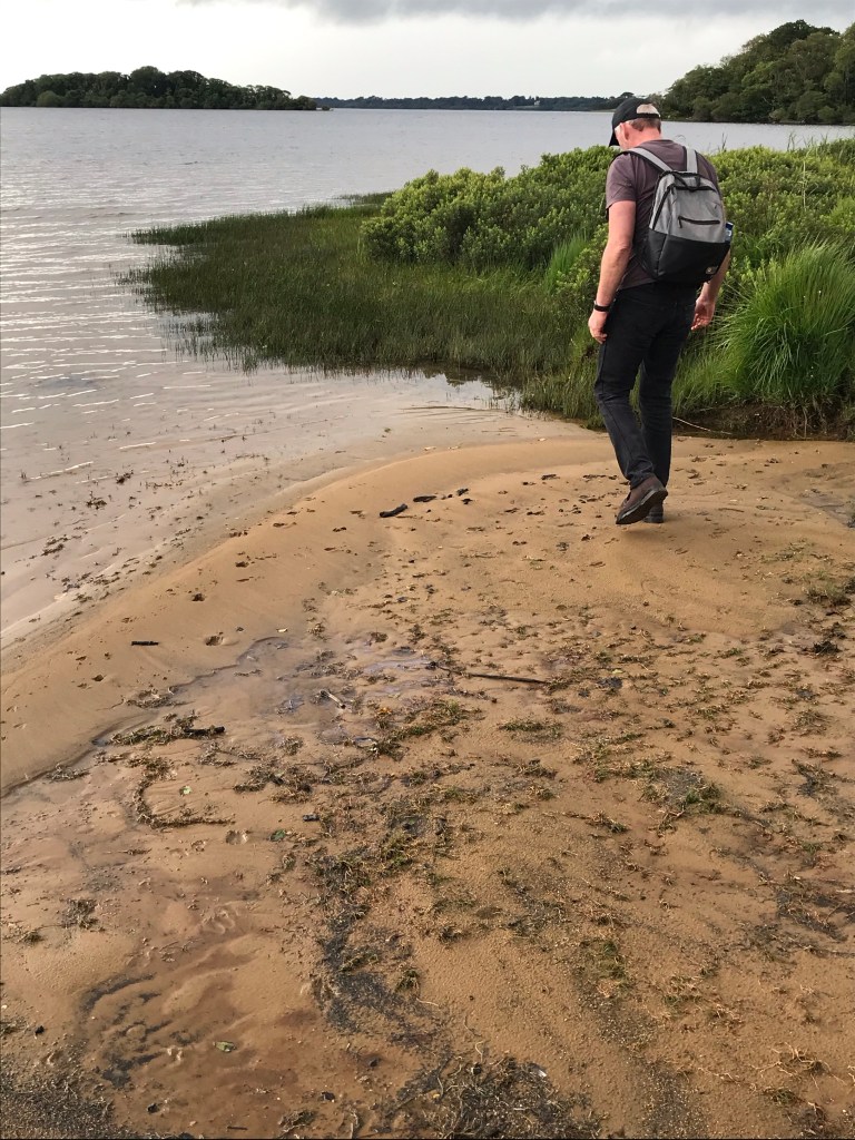
At the edge of the forest we found dramatic views of the northern lake.
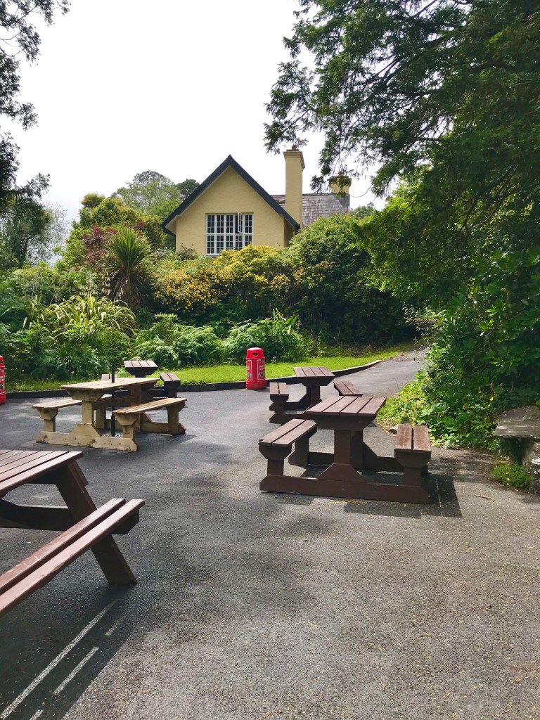
Dinis Cafe

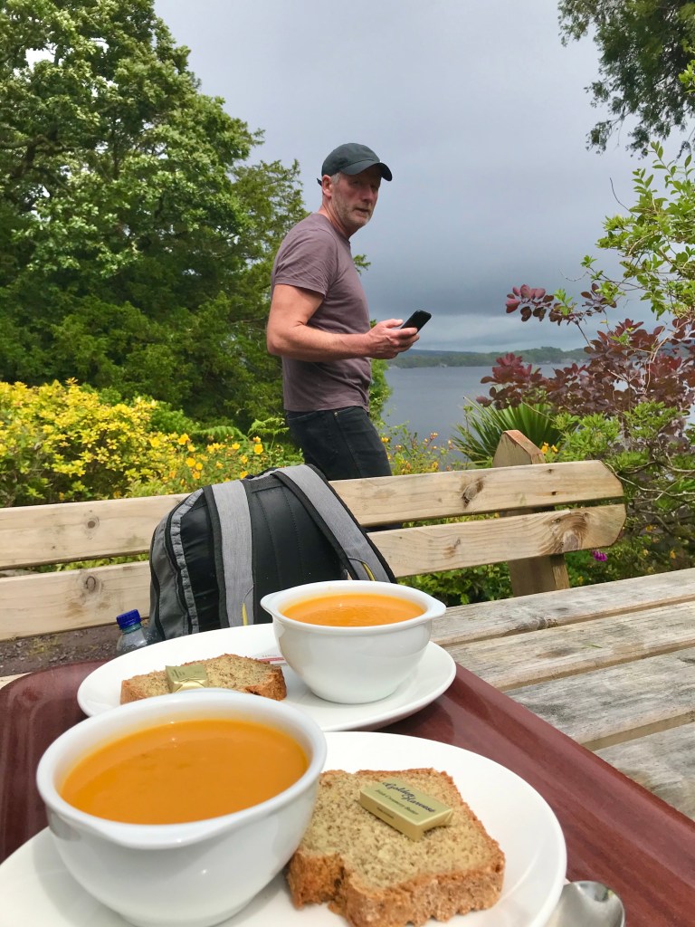
Our bike rental guy had shared ideas of where to stop–including important pointers since few spots were going to be open for lunch. Dinis Cafe, he thought, would be open today. It had been shut for lockdown and this was its first day back in action.

I arrived at Dinis a bit before Aongus:

Dinis Cottage is a quaint little house perched on the hillside, overlooking the southern lake from two terraces with picnic tables.

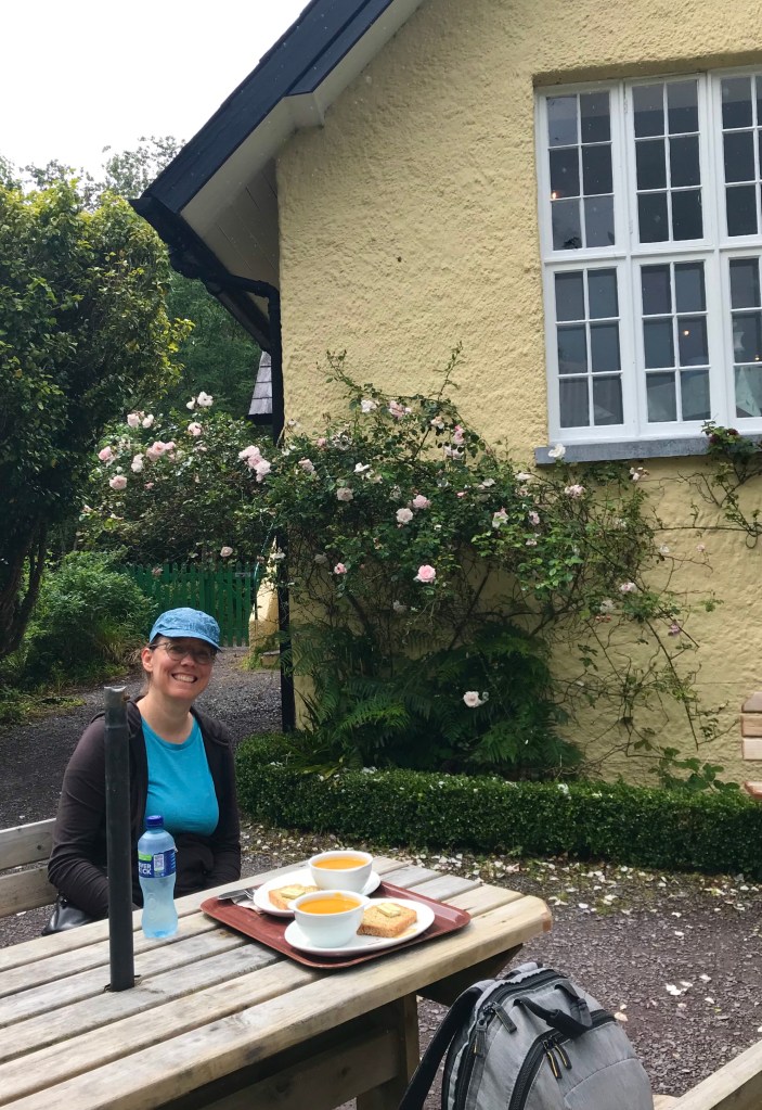
I enjoyed a nice hot bowl of soup and picturesque views (of the lake, and the man).

And then we were off again….

…to explore some more.
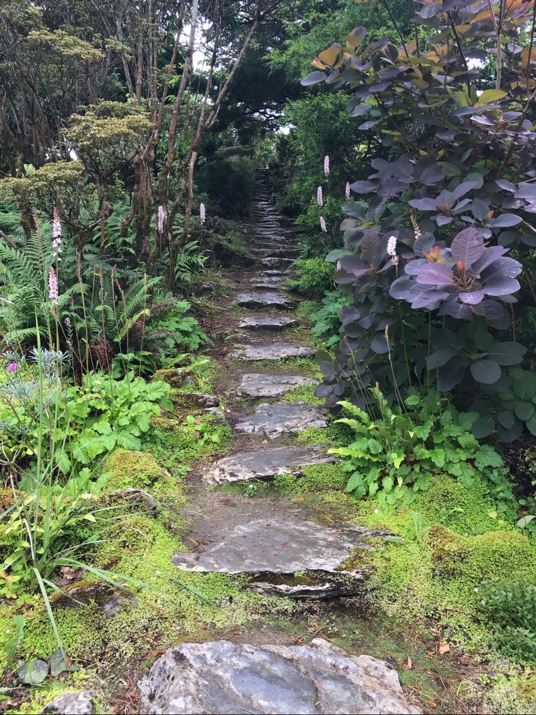
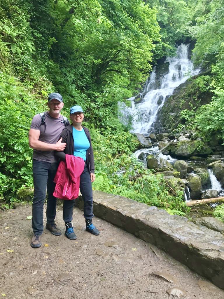
Torc Waterfall

Our next big stop was at Torc Waterfall.

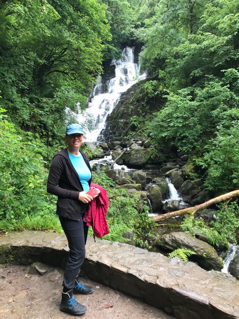
It’s a short walk up hill from the car (and bike) parking area.

Viola! Here’s the waterfall in all its splendor. Aongus isn’t too keep on heights, so he’s hanging on to ensure I don’t fall over the edge!

Or perhaps he’s considering shoving over the edge? 😉

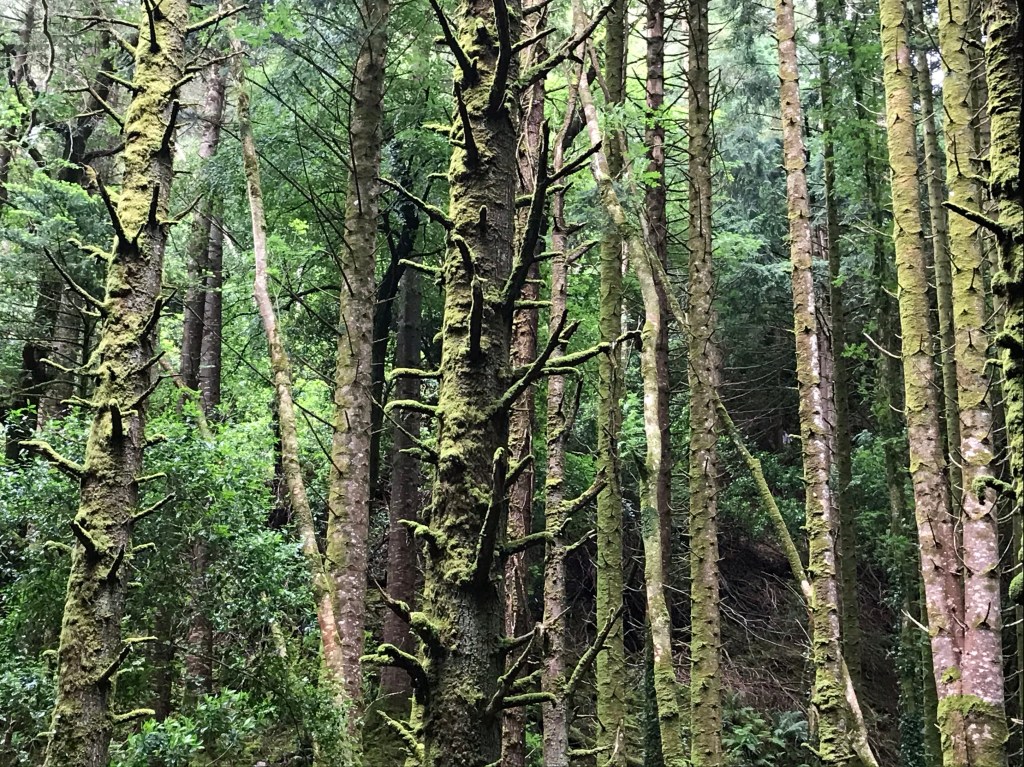
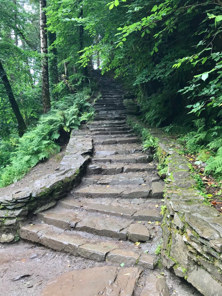
The stairs upward beckoned, promising more adventures, paths, and views. We decided to get going downhill, however, as we had another big adventure in mind.

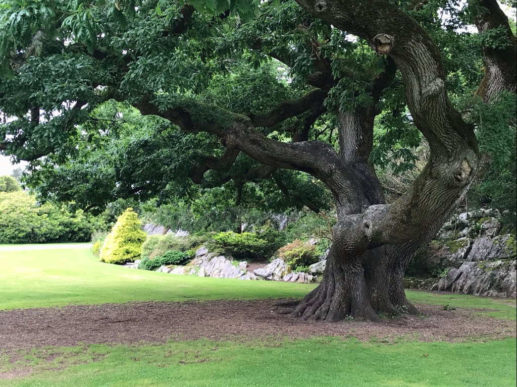
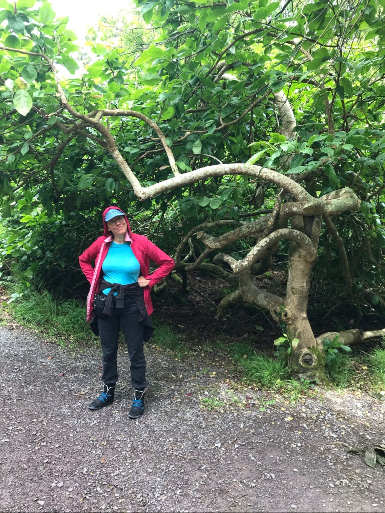
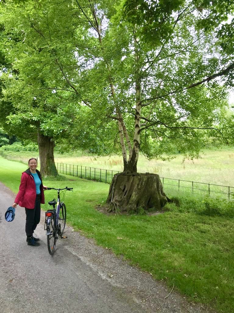
We did take time, though, to marvel at various trees on the way back down to the car park where we’d locked our bikes.

Muckross House to Killarney

Our tour route took us back around, past Muckross House for a second time.

Northern Loop

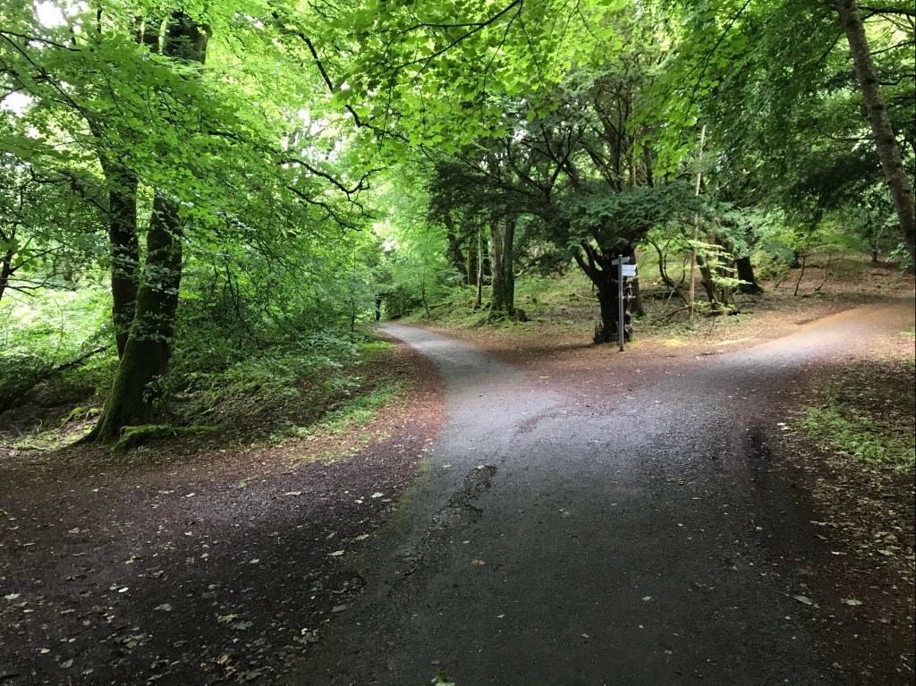
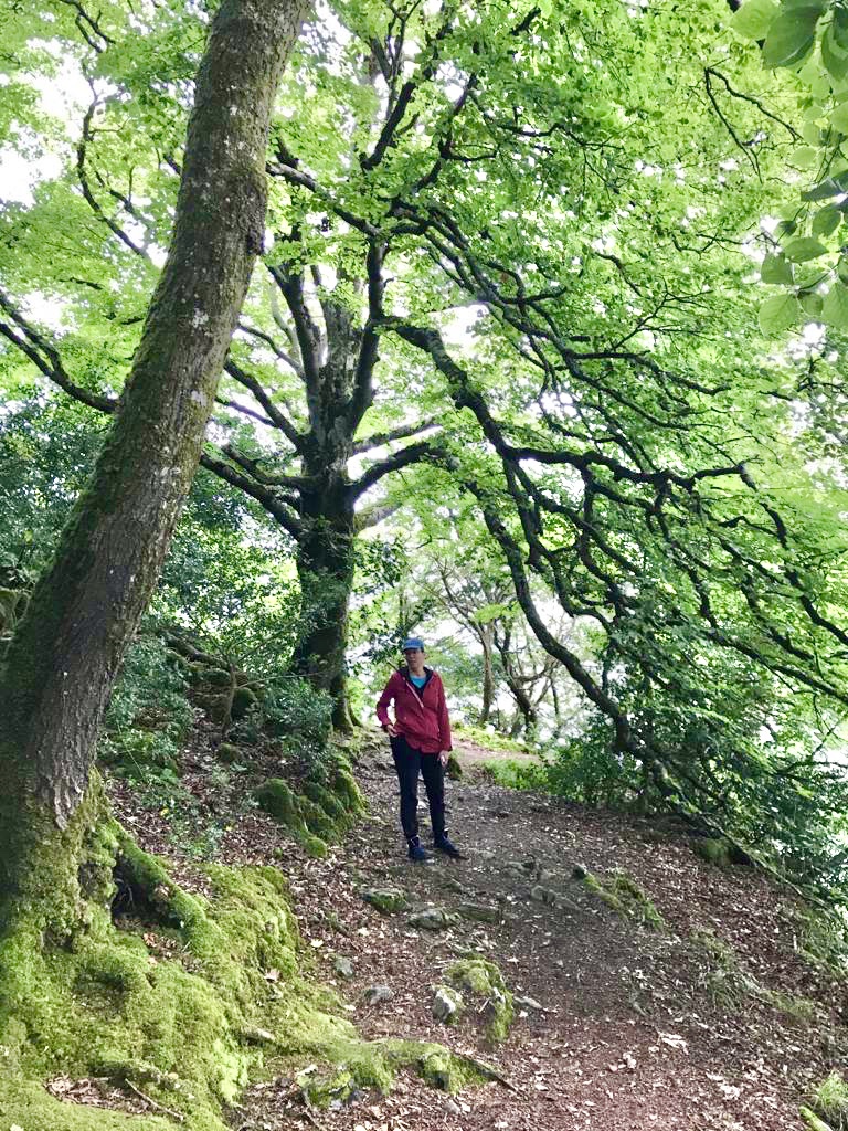
Returning to Killarney town, we found a second wind and continued on toward the Northern Loop.

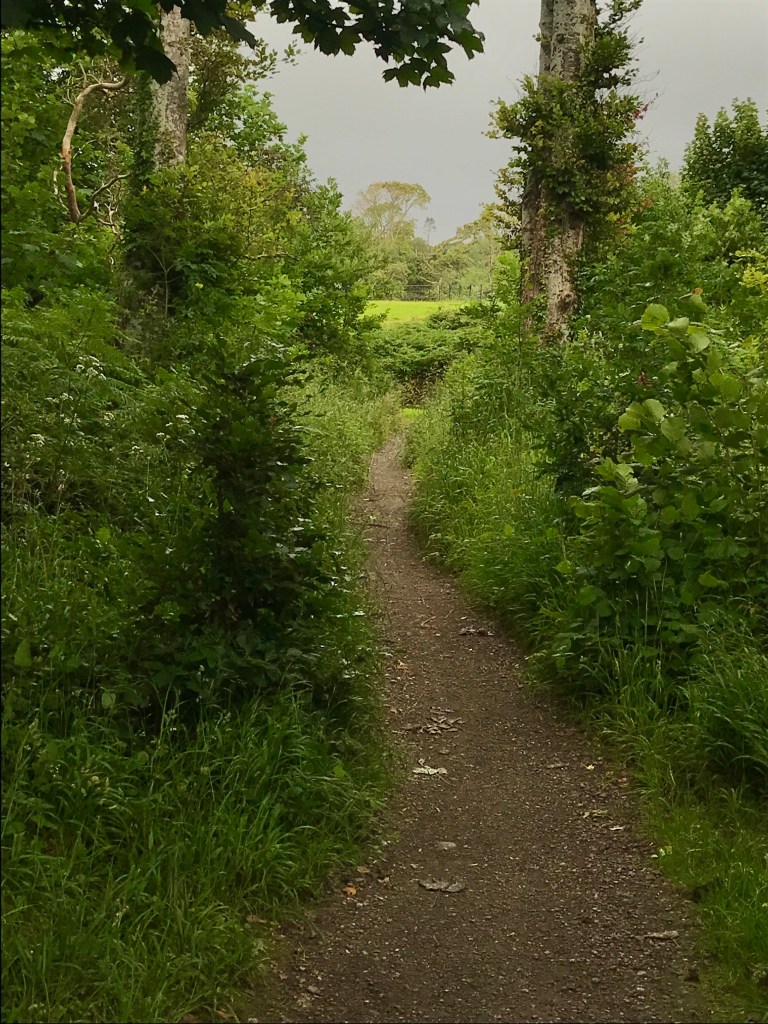
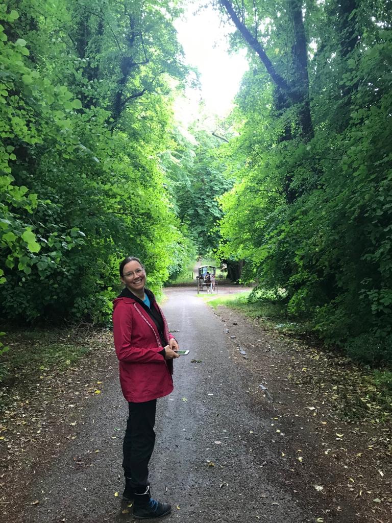
Throughout the day, we set our bikes aside, taking side trips by foot.

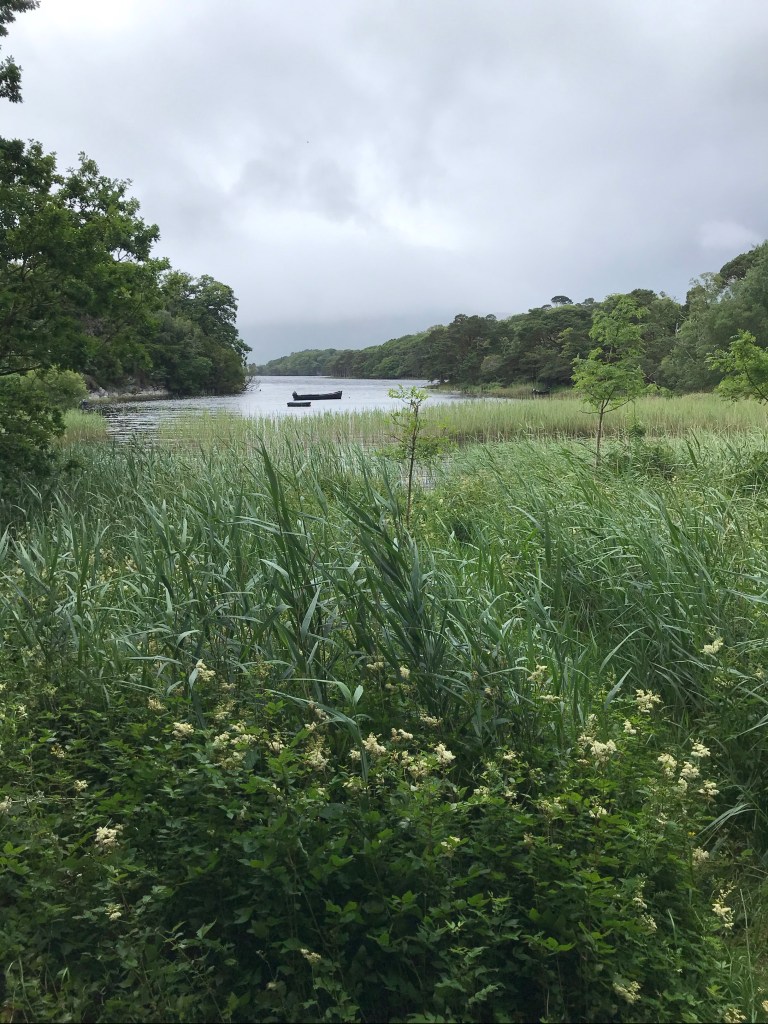
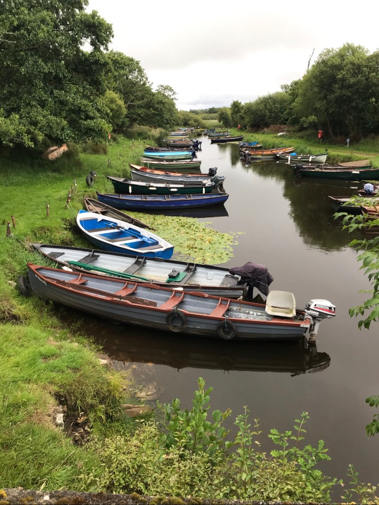
I long to canoe here someday. Canoes are rare here, however. Kayaks and motorboats are far more common. Aongus didn’t even know what a canoe was!?! People here often call kayaks “canoes”.

Isn’t this view inviting? It makes me want to paddle away….
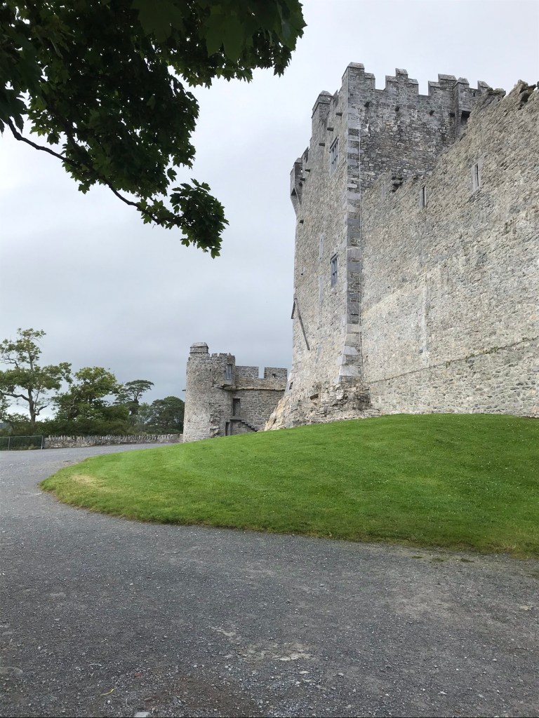
Ross Castle

On the road to Ross Castle, we discovered more phenomenal vistas:

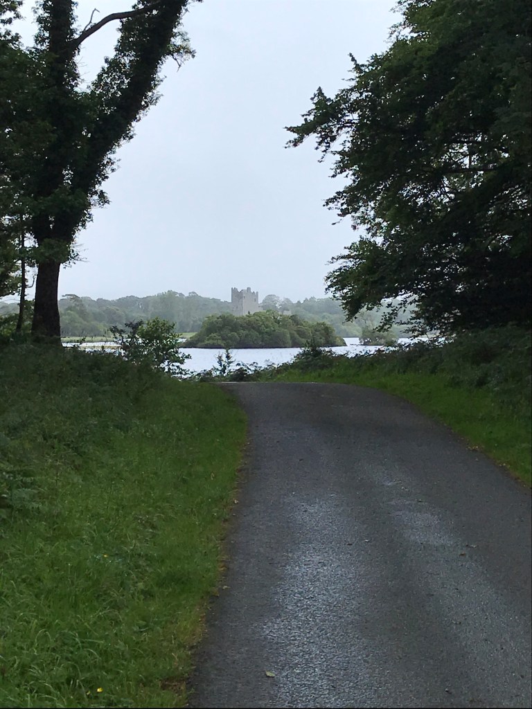
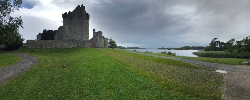
These photos are of Ross Castle, operated by Ireland’s Office of Public Works (OPW), but closed on this Covid-ridden day.
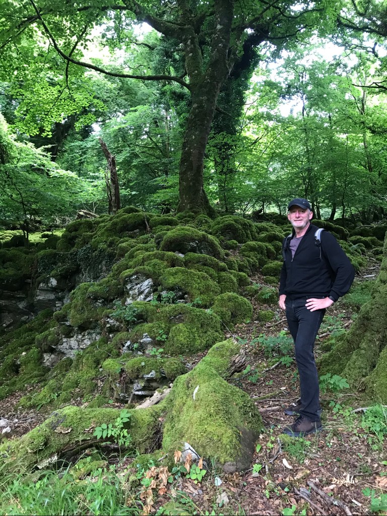
Ross Peninsula

Our tour around the Ross Peninsula rounded out the day so nicely.

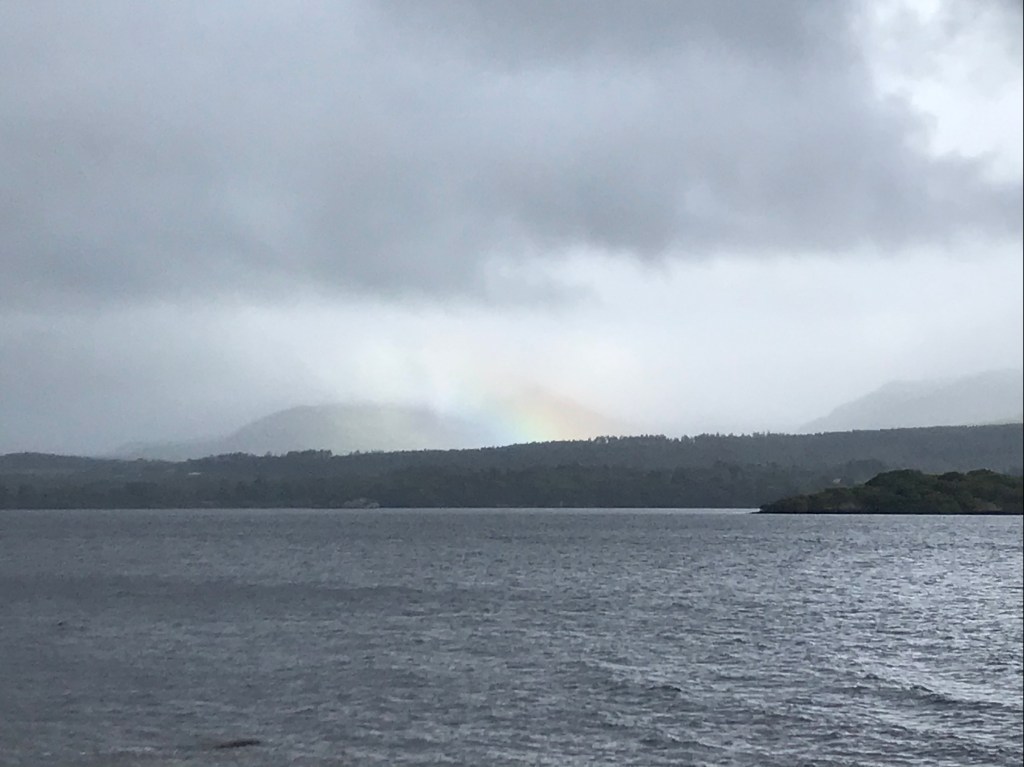
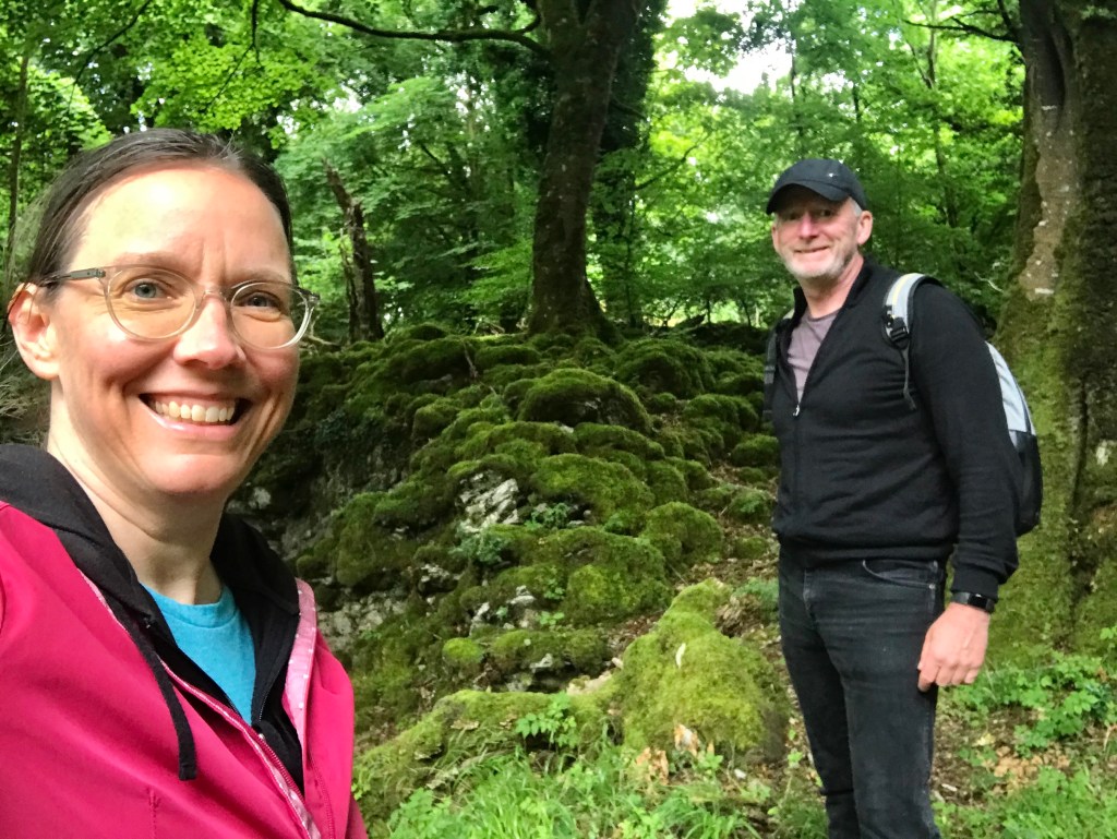
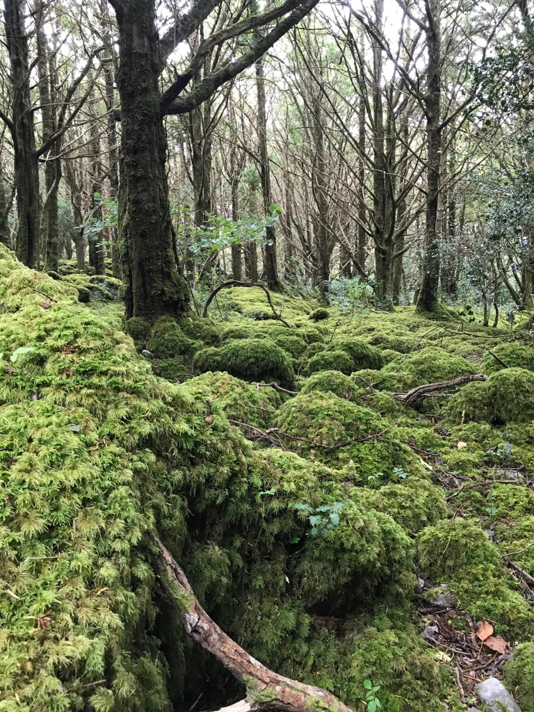
Offering more moss, more green, and so much more lush. Here Aongus models a fine Marino wool sweater we brought back from our last trip to New York:

Memories of this place are great fodder for dreams. There’s almost no place I’d rather spend a day.

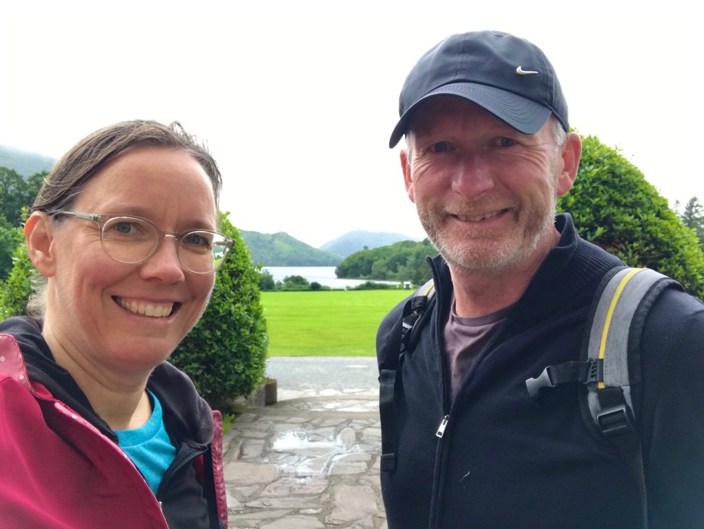
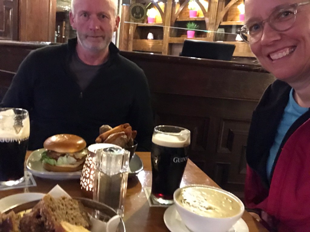
Overnight in Killarney

After out adventure, we returned to Killarney for a second night.

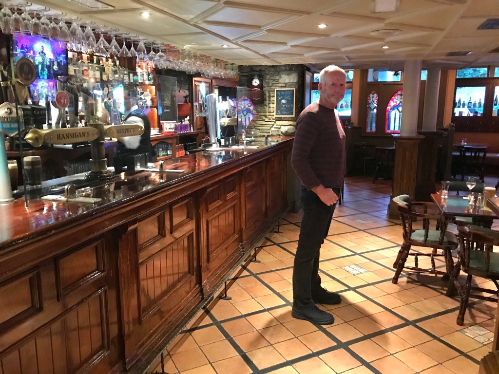
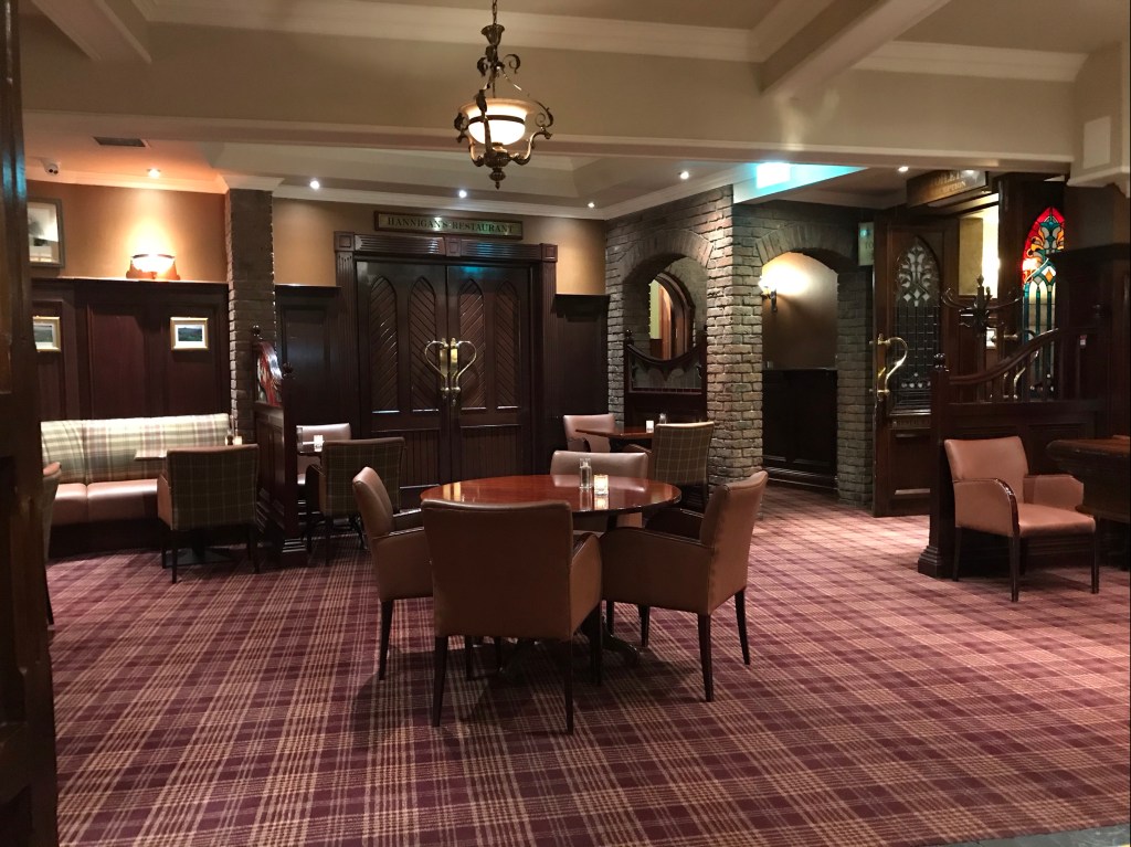
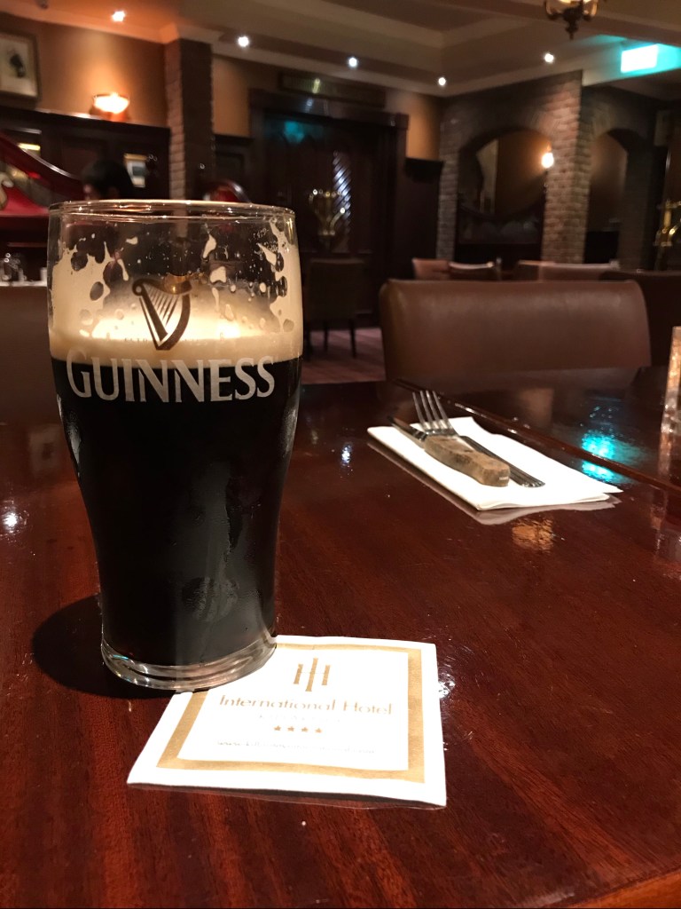
We’d not dined out for all of lockdown, and this was a very welcome treat! Aongus loved his first night’s chicken burger so much that we returned to the same pub for night #2. He’s very serious about his food:

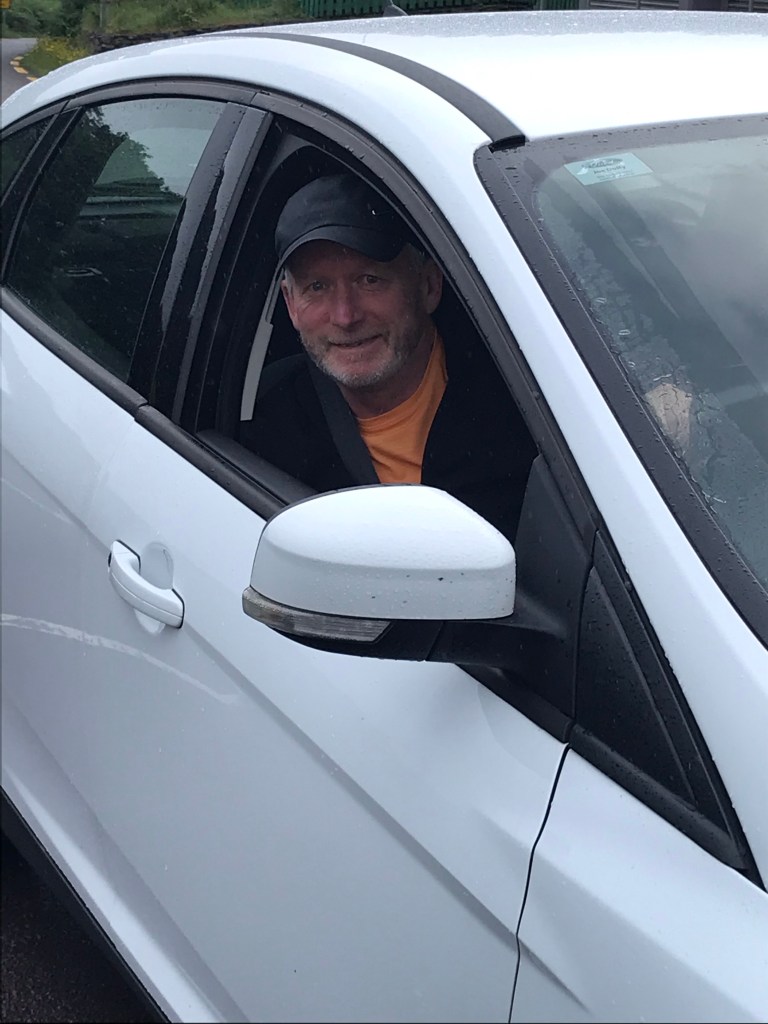
The next morning, he was recharged and ready to roll!

Ladies View

We caught a final view of the Killarney lakes from the famous “Ladies View” on our way westward, toward the Ring of Kerry.

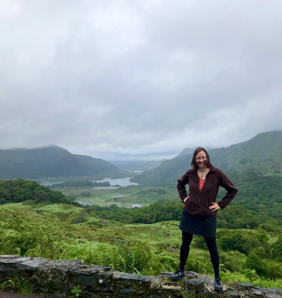
As with many iconic sights of Ireland, Aongus had never seen these places before–it took an American to show him America’s favourite highlights!

We are both delighted we grabbed the opportunity while it existed. Once lockdown #2 lifts, we certainly will return again!

Stone Forts along Ireland’s Ring of Kerry

Feeling a bit claustrophobic these days. We’re two weeks and three days into lockdown #2 here in Ireland, and my big outings of the past weeks have involved the fish market across the street and nearby grocers.

In fact, I wrote this blog post on the stone forts in County Kerry for you long ago–just after lockdown #1 lifted and the Irish government encouraged us to travel the country (to spend tourist “dollars”).

Since then, I’ve been so busy with work that I never got around to posting. Maybe it will brighten your autumn day….

I’d like to introduce you to Staigue, Cathergall and Leacanbuile–three impressive and ancient stone forts. The first of these is on the southern side of Kerry’s famous ring, whereas Cathergall and Leacanbuile are in the northwest corner of the Iveragh peninsula (aka Kerry’s largest peninsula synonymous with “Ring of Kerry”).

Here’s someone else’s list of all the stone forts of Kerry: http://www.theringofkerry.com/visitors/36-sights/ring-forts

Cathergall and Leacanbuile lay just northeast of Valencia Island. If you are visiting by car, you can reach them by driving to Cahersiveen, taking the bridge northward, and following the brown heritage signs. They are clearly marked and open to tourists. Park your car in a lot at the mouth where two paths join. The path to the right lead to the Cathergall stone fort, while the one straight ahead takes you to Leacanbuile.

Google map of the Iveragh peninsula, showing locations of forts.

Meagher and Neave (2004) say Cathergall and Leacanbuile date from the 9th or 10th century and were owned by wealthy farmers. On the other hand, Rick Steves says they were all “built sometime between 500 BC and AD 300 without the aid of mortar or cement”. The placard posted at Cathergall resolves this by stating they are “notoriously difficult to date”. (I included a photo of that sign, below.)

To reach Staigue fort, drive to Castlecove and turn northward. Again, the signage is clear.

You may notice other circular mounds covered in green along your journey. Kerry is covered in forts, but many are buried and not accessible—the land where they are is now privately owned.

You’ll find all three of these on Rick Steve’s Kerry tour, although they appear to be missing (or perhaps hidden) in the Michelin Guide. You can find details about them from a book like “Ancient Ireland: An Explorer’s Guide” written by Robert Meagher and Elizabeth Neave, and published by Interlink Books in 2004.

All three forts, according to Rick Steves, are about 2.5 miles off the main drag. It is so very well worth the effort to find them, in my opinion!

Staigue stone fort

Approaching the fort by car on the rainy day of our visit, we inched past wandering sheep. The stone fort eased into view through thick fog, periodically crystallizing into drizzle….

Then WHAM: the Staigue fort revealed itself in all its wintry glory. (Okay, yeah, it was June, but I assure you that it FELT like winter.)

Staigue is a fortress, perched on an elevated plain but surrounded on three sides by hilly slopes, and sheep! It measures 90′ in diameter and the height of the walls varies, reaching 18′ at the highest point (Meagher & Neave, 2004).

The entry is small and hidden. From the approaching path, it’s off to the right, tucked away behind and below the clumps of grass. At its base, the wall of the fort is 13′ thick. You viscerally feel the weight of the stone and the thickness of this wall when crossing the threshold.

Here, just inside the entry door, Aongus stands:

This is the view you find as you enter through the small passway of a “door”, protected today with a gate. Despite there being a gate to keep sheep out, people are quite welcome. This site is free to visit.

The thick stone walls vary in height, and undulate like the surrounding hills.

The interior is ringed by stairs that would have made the compound easier to defend, I’d say, by allowing many people to scale the inside quickly. The outside wall was designed to be impenetrable.

You can scale the interior walls. It takes some care, especially on a rainy day!

Here, you feel you’re on top of the world….

…yet somehow safe.

Cathergall stone fort

The next day, we discovered the Cathergall fort is even taller, higher, larger, and more dramatic than the Staigue.

I’d actually visited all three back in 2003, and Cathergall is the one that stuck in my mind the most, with its intricate stepped terrace stairs, water views, expansive landscape, and towering presence.

From Cathergall, you can see the Leacanbuile stone fort as well as ruins of a castle called Balleycarberry (built much more recently than the forts, but in worse condition).

You’ll catch glimpses of Cathergall from the road and also the walking path:

As shown in the panorama below, you see the entryway to the right. You feel the weight of the wall below you and the expansiveness landscape to the east:

Here’s a view looking to the northwest:

The stair system on this fort is even more extensive than on the other forts. It reminds me of the stepwells of India.

As with the previous fort, it appears there’s an inner core of fill. This one, however, is covered in grass.

Tiny little plants cling to its sides for life.

Leacanbuile stone fort

From the path up to Cathergall, you can view Leacanbuile across the fields.

We enjoyed watching a farmer and his dog practice herding sheep in the field between the two forts.

This third fort is the smallest and most intimate of the three publicly-open stone forts on the Ring of Kerry. This one feels the most like a residence, whereas Stiague and Cathergall feel more defensive. In fact, the sign says, there were four houses inside the wall. This handy plaque provides detail:

Below, you see the rooms, as well as the wall covered with grass and tiny little plants. And you can notice my little head popping out the top of “House A”.

This fort feels more like the beehive housing complex, also bounded by a stone ring, that we saw later in our trip, on Slea Head just west of Dingle. Featured in a separate blog on Slea Head.

The floor inside the ring undulates in a way the others don’t, and I’m not sure what the original ground level would have been–perhaps below what it is now?

None of these four Houses have roof coverings today. There are, however, some covered passageways inside the walls and they are shown in the darkest blue hatching on the plaque.

In the photo below, the entry is straight ahead (the white dot is the plaque beside it). In this fort, the entry is not covered, but there is still a gate to keep animals from entering.

As noted above, we visited all the sites the weekend after the Irish government opened the country up for travel from within. As such, there were few visitors and all were residents of the island.

These sites are not guarded.

We were appalled to find one set of families visiting both Cathergall and Leacanbuile that day, letting a half dozen children play tag and run recklessly along the walls of both forts. They left visible damage, with a number of stones loosened or entirely displaced (at the entry where they’d been jumping across from side to side in their game of tag) at Leacanbuile.

As frustrating as this was, it did, however, make for a visually dramatic scene: silhouettes of dancing, laughing and running children wholly engaged in their game, atop these majestic structures.

I hope you’ll show these ancient beauties plenty of respect and due reverence, when you visit for yourself.

Chasing Rainbows

Even in dreary weather, Ireland glows green.  Here are a few snapshots from our recent drive around the Rings of Kerry (who knew there were two loops?) and Dingle town.